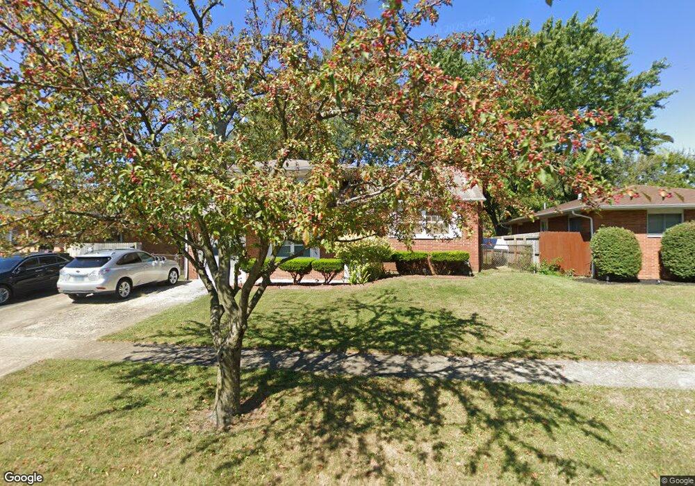
1755 Shady Lane Rd Columbus, OH 43227
Leawood NeighborhoodEstimated Value: $220,305 - $255,000
4
Beds
2
Baths
1,616
Sq Ft
$148/Sq Ft
Est. Value
About This Home
This home is located at 1755 Shady Lane Rd, Columbus, OH 43227 and is currently estimated at $239,826, approximately $148 per square foot. 1755 Shady Lane Rd is a home located in Franklin County with nearby schools including Leawood Elementary School, Sherwood Middle School, and Walnut Ridge High School.
Ownership History
Date
Name
Owned For
Owner Type
Purchase Details
Closed on
Jul 17, 2002
Sold by
Collins Nyemadi P and Collins Nyemadi P
Bought by
Mckind William
Current Estimated Value
Home Financials for this Owner
Home Financials are based on the most recent Mortgage that was taken out on this home.
Original Mortgage
$90,015
Outstanding Balance
$42,280
Interest Rate
8.25%
Mortgage Type
Purchase Money Mortgage
Estimated Equity
$197,546
Purchase Details
Closed on
Mar 26, 1999
Sold by
Baptista Virginia A
Bought by
Collins Nyemadi P
Home Financials for this Owner
Home Financials are based on the most recent Mortgage that was taken out on this home.
Original Mortgage
$97,920
Interest Rate
6.85%
Mortgage Type
VA
Purchase Details
Closed on
Feb 1, 1989
Bought by
Baptista Virginia A
Purchase Details
Closed on
Jul 15, 1988
Create a Home Valuation Report for This Property
The Home Valuation Report is an in-depth analysis detailing your home's value as well as a comparison with similar homes in the area
Home Values in the Area
Average Home Value in this Area
Purchase History
| Date | Buyer | Sale Price | Title Company |
|---|---|---|---|
| Mckind William | $105,900 | -- | |
| Collins Nyemadi P | $96,000 | Connor Title Co | |
| Baptista Virginia A | -- | -- | |
| -- | -- | -- |
Source: Public Records
Mortgage History
| Date | Status | Borrower | Loan Amount |
|---|---|---|---|
| Open | Mckind William | $90,015 | |
| Previous Owner | Collins Nyemadi P | $97,920 |
Source: Public Records
Tax History Compared to Growth
Tax History
| Year | Tax Paid | Tax Assessment Tax Assessment Total Assessment is a certain percentage of the fair market value that is determined by local assessors to be the total taxable value of land and additions on the property. | Land | Improvement |
|---|---|---|---|---|
| 2024 | $2,760 | $61,500 | $15,610 | $45,890 |
| 2023 | $2,725 | $61,495 | $15,610 | $45,885 |
| 2022 | $1,868 | $36,020 | $6,860 | $29,160 |
| 2021 | $1,871 | $36,020 | $6,860 | $29,160 |
| 2020 | $1,874 | $36,020 | $6,860 | $29,160 |
| 2019 | $1,710 | $28,180 | $5,500 | $22,680 |
| 2018 | $1,711 | $28,180 | $5,500 | $22,680 |
| 2017 | $1,708 | $28,180 | $5,500 | $22,680 |
| 2016 | $1,890 | $28,530 | $6,130 | $22,400 |
| 2015 | $1,716 | $28,530 | $6,130 | $22,400 |
| 2014 | $1,720 | $28,530 | $6,130 | $22,400 |
| 2013 | $998 | $33,565 | $7,210 | $26,355 |
Source: Public Records
Map
Nearby Homes
- 4589 Belfast Dr
- 4475 Ellery Dr
- 1691 Shady Lane Rd
- 1752 S Hamilton Rd
- 4701 Janis Dr
- 1607 Shady Lane Rd
- 1678 Huxley Dr
- 1563 Genoa Place
- 1571 Baxter Dr
- 1787 Lattimer Dr
- 4571 Aragon Ave
- 1618 S Hamilton Rd
- 4677 E Livingston Ave
- 1543 S Hamilton Rd
- 4467 Grimsby Rd
- 4484 Grimsby Rd
- 4501 Amesbury Rd
- 4530 Amesbury Rd
- 2173 Noe Bixby Rd
- 5036 Brinwood Place
- 1761 Shady Lane Rd
- 1747 Shady Lane Rd
- 1741 Shady Lane Rd
- 1767 Shady Lane Rd
- 1736 Simpson Dr
- 1730 Simpson Dr
- 1744 Simpson Dr
- 1735 Shady Lane Rd
- 1722 Simpson Dr
- 1773 Shady Lane Rd
- 4568 Belfast Dr
- 1756 Shady Lane Rd
- 1750 Simpson Dr
- 1716 Simpson Dr
- 1750 Shady Lane Rd
- 4561 Belfast Dr
- 1729 Shady Ln
- 1779 Shady Lane Rd
- 1729 Shady Lane Rd
- 1756 Simpson Dr