17553 E 645 Rd Tahlequah, OK 74464
Estimated Value: $353,123 - $442,000
3
Beds
3
Baths
2,550
Sq Ft
$153/Sq Ft
Est. Value
About This Home
This home is located at 17553 E 645 Rd, Tahlequah, OK 74464 and is currently estimated at $389,708, approximately $152 per square foot. 17553 E 645 Rd is a home located in Cherokee County with nearby schools including Lowrey School.
Ownership History
Date
Name
Owned For
Owner Type
Purchase Details
Closed on
Mar 21, 2025
Sold by
Schroeder Evelyn Ryals and Schroeder Living Trust
Bought by
Pierce Robbie A and Pierce Donna Kay
Current Estimated Value
Purchase Details
Closed on
Feb 5, 2025
Sold by
Pierce Robbie A and Pierce Donna K
Bought by
Miller Dillan and Miller Ashlee
Purchase Details
Closed on
Jun 23, 2008
Sold by
Barnes Thelbert T and Barnes Wanda
Bought by
Pierce Robbie A and Pierce Donna Kay
Create a Home Valuation Report for This Property
The Home Valuation Report is an in-depth analysis detailing your home's value as well as a comparison with similar homes in the area
Home Values in the Area
Average Home Value in this Area
Purchase History
| Date | Buyer | Sale Price | Title Company |
|---|---|---|---|
| Pierce Robbie A | $360,000 | Fidelity National Title | |
| Pierce Robbie A | $360,000 | Fidelity National Title | |
| Miller Dillan | -- | None Listed On Document | |
| Miller Dillan | -- | None Listed On Document | |
| Pierce Robbie A | -- | None Available |
Source: Public Records
Tax History Compared to Growth
Tax History
| Year | Tax Paid | Tax Assessment Tax Assessment Total Assessment is a certain percentage of the fair market value that is determined by local assessors to be the total taxable value of land and additions on the property. | Land | Improvement |
|---|---|---|---|---|
| 2025 | $1,768 | $23,579 | $1,430 | $22,149 |
| 2024 | $1,768 | $22,892 | $1,430 | $21,462 |
| 2023 | $1,768 | $21,802 | $1,430 | $20,372 |
| 2022 | $1,628 | $20,764 | $1,459 | $19,305 |
| 2021 | $1,621 | $20,764 | $1,459 | $19,305 |
| 2020 | $1,485 | $20,765 | $1,459 | $19,306 |
| 2019 | $1,634 | $20,500 | $1,440 | $19,060 |
| 2018 | $1,564 | $19,523 | $1,371 | $18,152 |
| 2017 | $1,506 | $18,595 | $1,046 | $17,549 |
| 2016 | $1,439 | $17,709 | $995 | $16,714 |
| 2015 | $1,172 | $16,866 | $1,430 | $15,436 |
| 2014 | $1,116 | $16,063 | $1,430 | $14,633 |
Source: Public Records
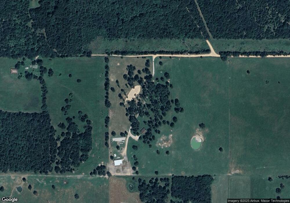
Map
Nearby Homes
- 0 N 510 Rd Unit 2543283
- 0 N 510 Rd Unit 2543284
- 0 N 510 Rd Unit 2543190
- 0 N 510 Rd Unit 2543294
- 0 N 510 Rd Unit 2543293
- 0 N 510 Rd Unit 2546232
- 0 N 510 Rd Unit 2543297
- 17413 E 626 Rd
- 16246 E 647 Rd
- 8195 Highway 82a
- 7373 N 485 Rd
- 14000 Highway 82c
- 18079 E 680 Rd
- 00000 E 660 Rd
- 8268 N Shiloh Rd
- 4422 Highway 82a
- 14311 E 668 Rd
- 8030 N Shiloh Rd
- 17844 E 688 Rd
- 8119 N 544 Rd
- 0 E 645 Rd Unit 1916783
- 17209 E 645 Rd
- 17508 E 650 Rd
- 17782 E 650 Rd
- 0 N 510 Rd Unit 2518919
- 0 N 510 Rd Unit 2510807
- 0 N 510 Rd Unit 2443575
- 0 N 510 Rd Unit 2443572
- 0 N 510 Rd Unit 2443401
- 0 N 510 Rd Unit 2443399
- 0 N 510 Rd Unit 2443397
- 0 N 510 Rd Unit 2443394
- 0 N 510 Rd Unit 2432738
- 0 N 510 Rd Unit 2416349
- 0 N 510 Rd Unit 2416347
- 0 N 510 Rd Unit 2339573
- 0 N 510 Rd Unit 2339231
- 0 N 510 Rd Unit 2339223
- 0 N 510 Rd Unit 2339203
- 0 N 510 Rd Unit 2338449