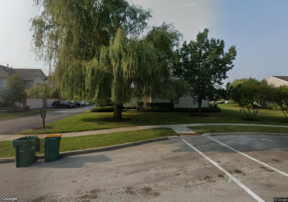
17559 Gilbert Dr Lockport, IL 60441
Estimated Value: $300,000 - $323,000
2
Beds
3
Baths
1,650
Sq Ft
$188/Sq Ft
Est. Value
About This Home
This home is located at 17559 Gilbert Dr, Lockport, IL 60441 and is currently estimated at $310,095, approximately $187 per square foot. 17559 Gilbert Dr is a home located in Will County with nearby schools including William J. Butler, Hadley Middle School, and Homer Jr High School.
Ownership History
Date
Name
Owned For
Owner Type
Purchase Details
Closed on
Apr 23, 2013
Sold by
Becker Patrick P and Becker Emily
Bought by
Hall Peter V
Current Estimated Value
Home Financials for this Owner
Home Financials are based on the most recent Mortgage that was taken out on this home.
Original Mortgage
$126,400
Outstanding Balance
$89,825
Interest Rate
3.62%
Mortgage Type
New Conventional
Estimated Equity
$220,270
Purchase Details
Closed on
Oct 3, 2005
Sold by
Marquette Bank
Bought by
Becker Patrick P
Home Financials for this Owner
Home Financials are based on the most recent Mortgage that was taken out on this home.
Original Mortgage
$195,600
Interest Rate
5.83%
Mortgage Type
FHA
Purchase Details
Closed on
Sep 30, 2003
Sold by
The Ryland Group Inc
Bought by
Marquette Bank and Trust #15741
Create a Home Valuation Report for This Property
The Home Valuation Report is an in-depth analysis detailing your home's value as well as a comparison with similar homes in the area
Home Values in the Area
Average Home Value in this Area
Purchase History
| Date | Buyer | Sale Price | Title Company |
|---|---|---|---|
| Hall Peter V | $158,000 | Premier Title | |
| Becker Patrick P | $202,000 | Ticor Title | |
| Marquette Bank | $189,000 | -- |
Source: Public Records
Mortgage History
| Date | Status | Borrower | Loan Amount |
|---|---|---|---|
| Open | Hall Peter V | $126,400 | |
| Previous Owner | Becker Patrick P | $195,600 |
Source: Public Records
Tax History Compared to Growth
Tax History
| Year | Tax Paid | Tax Assessment Tax Assessment Total Assessment is a certain percentage of the fair market value that is determined by local assessors to be the total taxable value of land and additions on the property. | Land | Improvement |
|---|---|---|---|---|
| 2024 | $6,777 | $85,381 | $12,038 | $73,343 |
| 2023 | $6,777 | $77,394 | $10,912 | $66,482 |
| 2022 | $6,235 | $72,264 | $10,189 | $62,075 |
| 2021 | $5,942 | $68,464 | $9,653 | $58,811 |
| 2020 | $5,911 | $65,945 | $9,298 | $56,647 |
| 2019 | $5,680 | $63,439 | $8,945 | $54,494 |
| 2018 | $5,541 | $61,142 | $8,842 | $52,300 |
| 2017 | $5,448 | $59,430 | $8,594 | $50,836 |
| 2016 | $5,321 | $57,448 | $8,307 | $49,141 |
| 2015 | $5,174 | $55,291 | $7,995 | $47,296 |
| 2014 | $5,174 | $54,149 | $7,830 | $46,319 |
| 2013 | $5,174 | $54,149 | $7,830 | $46,319 |
Source: Public Records
Map
Nearby Homes
- 17612 S Gilbert Dr
- 17542 Gilbert Dr Unit 404D
- 17526 S Gilbert Dr Unit 302D
- 17694 S Gilbert Dr
- 16335 Cagwin Dr Unit 2
- 17437 Yakima Dr
- 16125-45 Bruce Rd
- 17825 S Alta Dr
- 16530 Willow Walk Dr
- 16146 W Oak Ave
- 16556 Willow Walk Dr
- 17302 Long Bow Dr
- 17237 Arrow Head Dr
- 17234 Long Bow Dr
- 15959 Prairie View Ct Unit T6
- 15949 Prairie View Ct Unit T5
- The Lauren Plan at Prairie Ridge North
- The Katherine Front Porch Elevation Plan at Prairie Ridge North
- The Grace Plan at Prairie Ridge North
- 17211 S Huron Ct
- 17563 Gilbert Dr Unit 2204K
- 17567 Gilbert Dr Unit 2202D
- 17569 Gilbert Dr Unit 2201L
- 17561 Gilbert Dr Unit 2205D
- 17565 Gilbert Dr Unit 2203K
- 17563 S Gilbert Dr
- 17573 Gilbert Dr Unit 2305D
- 17579 Gilbert Dr
- 17575 Gilbert Dr Unit 2304K
- 17577 Gilbert Dr Unit 2303K
- 17571 Gilbert Dr Unit 2306E
- 17581 Gilbert Dr Unit 2301L
- 17573 Gilbert Dr Unit 1
- 17579 Gilbert Dr Unit 2
- 17549 Gilbert Dr
- 17547 Gilbert Dr Unit 2106L
- 17553 Gilbert Dr
- 17551 Gilbert Dr
- 17555 Gilbert Dr
- 17557 Gilbert Dr Unit 21013