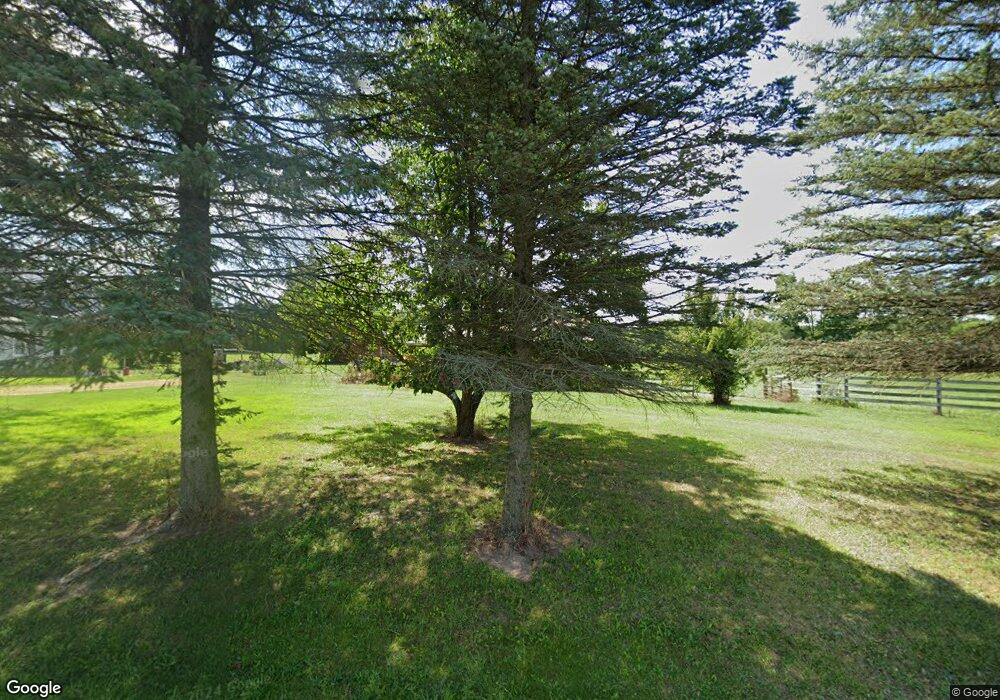
17561 Manitou Rd Addison, MI 49220
Estimated Value: $279,000 - $368,000
3
Beds
2
Baths
1,403
Sq Ft
$240/Sq Ft
Est. Value
About This Home
This home is located at 17561 Manitou Rd, Addison, MI 49220 and is currently estimated at $336,401, approximately $239 per square foot. 17561 Manitou Rd is a home located in Lenawee County with nearby schools including Addison Elementary School, Addison Middle School, and Addison High School.
Ownership History
Date
Name
Owned For
Owner Type
Purchase Details
Closed on
Jul 2, 2019
Sold by
Bowman Amanda E
Bought by
Bowman David C
Current Estimated Value
Purchase Details
Closed on
Jun 27, 2006
Sold by
Bowman Sherri L
Bought by
Bowman David C
Purchase Details
Closed on
May 6, 2004
Bought by
Bowman David C
Create a Home Valuation Report for This Property
The Home Valuation Report is an in-depth analysis detailing your home's value as well as a comparison with similar homes in the area
Home Values in the Area
Average Home Value in this Area
Purchase History
| Date | Buyer | Sale Price | Title Company |
|---|---|---|---|
| Bowman David C | -- | -- | |
| Bowman David C | -- | None Available | |
| Bowman David C | -- | -- |
Source: Public Records
Tax History Compared to Growth
Tax History
| Year | Tax Paid | Tax Assessment Tax Assessment Total Assessment is a certain percentage of the fair market value that is determined by local assessors to be the total taxable value of land and additions on the property. | Land | Improvement |
|---|---|---|---|---|
| 2025 | $1,640 | $178,200 | $0 | $0 |
| 2024 | $774 | $134,300 | $0 | $0 |
| 2022 | $1,575 | $115,300 | $0 | $0 |
| 2021 | $2,527 | $121,300 | $0 | $0 |
| 2020 | $2,499 | $115,100 | $0 | $0 |
| 2019 | $162,737 | $115,100 | $0 | $0 |
| 2018 | $1,386 | $82,938 | $0 | $0 |
| 2017 | $1,340 | $79,748 | $0 | $0 |
| 2016 | $1,337 | $83,302 | $0 | $0 |
| 2014 | -- | $83,504 | $0 | $0 |
Source: Public Records
Map
Nearby Homes
- 6482 Sorby Hwy
- 0
- 0 Manitou Beach Rd Lot B
- VL Manitou Beach Road Proposed
- 5875 U S 127
- 360 Park St
- 348 Lenawee St
- 1100 Elm Blk St
- 5087 Townley Hwy
- 236 S Steer St
- 400 Manitou Rd
- 135 S Steer St
- 9254 Cherry Point Rd
- 305 N Steer St
- 8676 Cherry Point Dr
- 9265 Devils Lake Hwy
- 2951 N Meridian Rd
- 1220 Round Lake Hwy
- 1930 Geneva Hwy
- Lots 4 & 5 Elm Park Dr
- 17421 Manitou Rd
- 17000 Manitou Rd Unit BLK
- 17000 Manitou Rd Unit BLK
- 17000 Manitou Rd Unit BLK
- 17000 Manitou Rd Unit BLK
- 17000 Manitou Rd Unit BLK
- 17000 Manitou Rd Unit BLK
- 17239 Manitou Rd
- 17140 Manitou Rd
- 17440 Manitou Rd
- 17600 Manitou Rd
- 17088 Manitou Rd
- 17697 Manitou Rd
- 17110 Manitou Rd
- 17701 Manitou Rd
- 17713 Manitou Rd
- 5445 Sorby Hwy
- 17725 Manitou Rd
- 5644 N Rollin Hwy