Estimated Value: $200,000 - $264,000
3
Beds
2
Baths
1,596
Sq Ft
$139/Sq Ft
Est. Value
About This Home
This home is located at 17566 Schroeder Rd, Brant, MI 48614 and is currently estimated at $222,518, approximately $139 per square foot. 17566 Schroeder Rd is a home located in Saginaw County with nearby schools including Big Rock Elementary School, Chesaning Middle School, and Chesaning Union High School.
Ownership History
Date
Name
Owned For
Owner Type
Purchase Details
Closed on
Apr 13, 2011
Sold by
Gilbert Emerson D and Gilbert Carol D
Bought by
Luplow Gregory J and Luplow Gloria J
Current Estimated Value
Home Financials for this Owner
Home Financials are based on the most recent Mortgage that was taken out on this home.
Original Mortgage
$87,200
Outstanding Balance
$4,571
Interest Rate
4.4%
Mortgage Type
FHA
Estimated Equity
$217,947
Purchase Details
Closed on
Jun 5, 2009
Sold by
Benzenberg Karen R
Bought by
Gilbert Emerson D and Gilbert Carol D
Purchase Details
Closed on
Nov 1, 2005
Sold by
Benzenberg Brad A
Bought by
Benzenberg Karen R
Purchase Details
Closed on
Mar 1, 1994
Sold by
Curtis Karen R
Bought by
Benzenberg Brad A
Create a Home Valuation Report for This Property
The Home Valuation Report is an in-depth analysis detailing your home's value as well as a comparison with similar homes in the area
Home Values in the Area
Average Home Value in this Area
Purchase History
| Date | Buyer | Sale Price | Title Company |
|---|---|---|---|
| Luplow Gregory J | $109,000 | -- | |
| Gilbert Emerson D | $72,250 | -- | |
| Benzenberg Karen R | -- | -- | |
| Benzenberg Brad A | $65,000 | -- |
Source: Public Records
Mortgage History
| Date | Status | Borrower | Loan Amount |
|---|---|---|---|
| Open | Luplow Gregory J | $87,200 |
Source: Public Records
Tax History Compared to Growth
Tax History
| Year | Tax Paid | Tax Assessment Tax Assessment Total Assessment is a certain percentage of the fair market value that is determined by local assessors to be the total taxable value of land and additions on the property. | Land | Improvement |
|---|---|---|---|---|
| 2025 | $2,517 | $104,600 | $0 | $0 |
| 2024 | $765 | $108,800 | $0 | $0 |
| 2023 | $729 | $93,700 | $0 | $0 |
| 2022 | $2,233 | $75,600 | $0 | $0 |
| 2021 | $2,062 | $68,200 | $0 | $0 |
| 2020 | $2,015 | $70,500 | $0 | $0 |
| 2019 | $1,929 | $70,900 | $22,800 | $48,100 |
| 2018 | $636 | $67,000 | $0 | $0 |
| 2017 | $1,731 | $65,900 | $0 | $0 |
| 2016 | $1,717 | $59,700 | $0 | $0 |
| 2014 | -- | $55,800 | $0 | $33,000 |
| 2013 | -- | $56,200 | $0 | $0 |
Source: Public Records
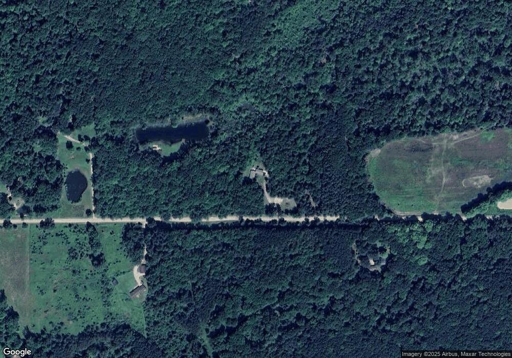
Map
Nearby Homes
- 10210 S Brennan Rd
- 10854 S Hemlock Rd
- 8700 S Hemlock Rd
- 7585 S Steel Rd
- 19465 Grabowski Rd
- 19725 W Burt Rd
- 00 Raucholz Rd
- 13165 Ithaca Rd
- 9847 Oakley Rd
- 20100 Nelson Rd
- 12465 Fergus Rd
- 10462 S Graham Rd
- 14454 Raucholz Rd
- V/L W Walnut St
- 0 W Walnut St Unit 50159593
- 12000 W Townline Rd
- 15530 Fowler Rd
- 12091 S Meridian Rd
- 7899 Beaver Rd
- 10001 Carr Rd
- 17493 Schroeder Rd
- 17493 Schroeder Rd
- 17695 Schroeder Rd
- 17695 Schroeder Rd
- 17752 Schroeder Rd
- 17746 Schroeder Rd
- 17850 Schroeder Rd
- 17600 Schroeder Rd
- 17600 Schroeder Rd
- 17600 Schroeder Rd
- 17900 Schroeder Rd
- 17900 Schroeder Rd
- 17000 Schroeder Rd
- 17915 Schroeder Rd
- 17950 Schroeder Rd
- 17950 Schroeder Rd
- 17938 Schroeder Rd
- 17955 Schroeder Rd
- 17955 Schroeder Rd
- 17955 Schroeder Rd