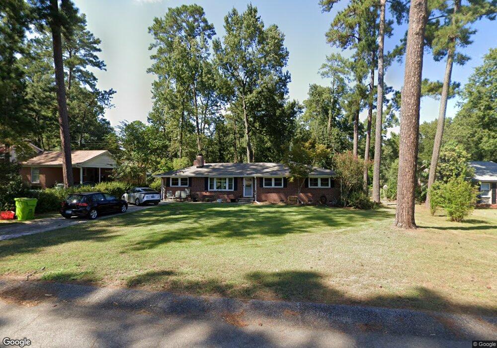
1757 Omarest Dr Columbia, SC 29210
Saint Andrews NeighborhoodEstimated Value: $201,000 - $214,241
3
Beds
2
Baths
1,596
Sq Ft
$131/Sq Ft
Est. Value
About This Home
This home is located at 1757 Omarest Dr, Columbia, SC 29210 and is currently estimated at $209,810, approximately $131 per square foot. 1757 Omarest Dr is a home located in Richland County with nearby schools including H. B. Rhame Elementary School, St. Andrews Middle School, and Columbia High School.
Ownership History
Date
Name
Owned For
Owner Type
Purchase Details
Closed on
Aug 13, 2013
Sold by
Whitd Michael Lee and Martell Allison Elizabeth
Bought by
Heath Michael Lee and Heath Allison Martell
Current Estimated Value
Purchase Details
Closed on
Jun 30, 2008
Sold by
Oxner Katie C and Oxner James Katie
Bought by
Whited Michael Lee and Martell Allison Elizabeth
Home Financials for this Owner
Home Financials are based on the most recent Mortgage that was taken out on this home.
Original Mortgage
$127,006
Outstanding Balance
$81,477
Interest Rate
5.96%
Mortgage Type
FHA
Estimated Equity
$128,333
Purchase Details
Closed on
Jun 27, 2003
Sold by
Ashe Jackie H and Holston Johnny D
Bought by
Oxner Katie C
Home Financials for this Owner
Home Financials are based on the most recent Mortgage that was taken out on this home.
Original Mortgage
$80,000
Interest Rate
5.29%
Mortgage Type
Purchase Money Mortgage
Create a Home Valuation Report for This Property
The Home Valuation Report is an in-depth analysis detailing your home's value as well as a comparison with similar homes in the area
Home Values in the Area
Average Home Value in this Area
Purchase History
| Date | Buyer | Sale Price | Title Company |
|---|---|---|---|
| Heath Michael Lee | -- | None Available | |
| Whited Michael Lee | $129,000 | -- | |
| Oxner Katie C | $83,000 | -- | |
| Ashe Jackie H | -- | -- |
Source: Public Records
Mortgage History
| Date | Status | Borrower | Loan Amount |
|---|---|---|---|
| Open | Whited Michael Lee | $127,006 | |
| Previous Owner | Oxner Katie C | $80,000 |
Source: Public Records
Tax History Compared to Growth
Tax History
| Year | Tax Paid | Tax Assessment Tax Assessment Total Assessment is a certain percentage of the fair market value that is determined by local assessors to be the total taxable value of land and additions on the property. | Land | Improvement |
|---|---|---|---|---|
| 2024 | $1,222 | $132,800 | $0 | $0 |
| 2023 | $1,222 | $4,620 | $0 | $0 |
| 2022 | $1,110 | $115,500 | $12,600 | $102,900 |
| 2021 | $1,106 | $4,620 | $0 | $0 |
| 2020 | $1,123 | $4,620 | $0 | $0 |
| 2019 | $1,097 | $4,620 | $0 | $0 |
| 2018 | $1,031 | $4,350 | $0 | $0 |
| 2017 | $1,009 | $4,350 | $0 | $0 |
| 2016 | $1,005 | $4,350 | $0 | $0 |
| 2015 | $979 | $4,350 | $0 | $0 |
| 2014 | $951 | $108,800 | $0 | $0 |
| 2013 | -- | $4,350 | $0 | $0 |
Source: Public Records
Map
Nearby Homes
- 1820 Omarest Dr
- 1712 Omarest Dr
- 1632 Romain Dr
- 1908 Grays Inn Rd
- 321 Cambout St
- 529 Cambout St
- 1514 Omarest Dr
- 201 Burbank St
- 232 Burbank St
- 1702 Elm Abode Terrace
- 1921 Spotswood Dr
- 214 River Bluff Way
- 209 Gateway Ln
- 2103 Marley Dr
- 105 River Bluff Ct
- 1850 Atlantic Dr Unit 612
- 1850 Atlantic Dr
- 1850 Atlantic Dr Unit 416
- 1850 Atlantic Dr Unit 415
- 1919 Marley Dr
- 1803 Omarest Dr
- 1743 Omarest Dr
- 1756 Romain Dr
- 1802 Romain Dr
- 1748 Romain Dr
- 1811 Omarest Dr
- 1758 Omarest Dr
- 1741 Omarest Dr
- 1804 Omarest Dr
- 1740 Romain Dr
- 1810 Romain Dr
- 1812 Omarest Dr
- 1819 Omarest Dr
- 1742 Omarest Dr
- 1733 Omarest Dr
- 1818 Romain Dr
- 1732 Romain Dr
- 1757 Romain Dr
- 1757 Koulter Dr
- 1749 Koulter Dr