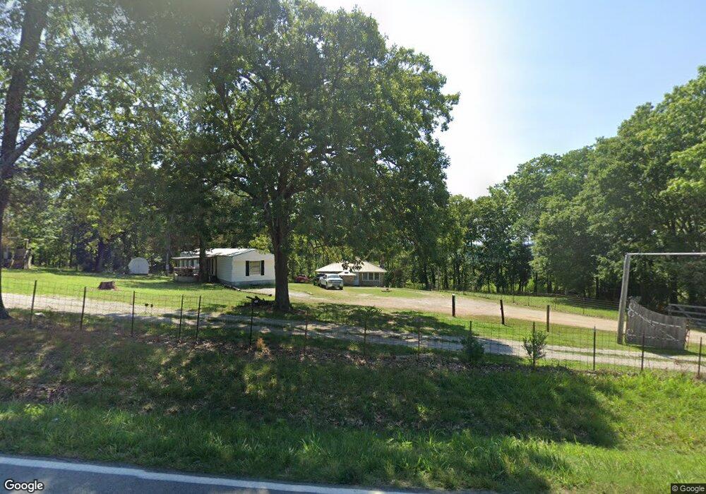
1757 State Highway Vv Powersite, MO 65731
Estimated Value: $166,105 - $524,000
2
Beds
--
Bath
2,797
Sq Ft
$98/Sq Ft
Est. Value
About This Home
This home is located at 1757 State Highway Vv, Powersite, MO 65731 and is currently estimated at $273,026, approximately $97 per square foot. 1757 State Highway Vv is a home located in Taney County with nearby schools including Forsyth Elementary School, Forsyth Middle School, and Forsyth High School.
Ownership History
Date
Name
Owned For
Owner Type
Purchase Details
Closed on
Jul 28, 2025
Sold by
Melton Carroll Robert
Bought by
Panzica Dawn
Current Estimated Value
Home Financials for this Owner
Home Financials are based on the most recent Mortgage that was taken out on this home.
Original Mortgage
$30,000
Outstanding Balance
$29,748
Interest Rate
8.44%
Mortgage Type
New Conventional
Estimated Equity
$243,278
Purchase Details
Closed on
Mar 30, 2023
Sold by
Loyal L Stewart And Donna J Stewart Trus
Bought by
Hti Enterprises Llc
Purchase Details
Closed on
Nov 14, 2019
Sold by
Melton Debra Kay
Bought by
Melton Carrol Robert
Purchase Details
Closed on
Apr 16, 2012
Sold by
Securian Llc
Bought by
Melton Robert and Melton Debbbie
Create a Home Valuation Report for This Property
The Home Valuation Report is an in-depth analysis detailing your home's value as well as a comparison with similar homes in the area
Home Values in the Area
Average Home Value in this Area
Purchase History
| Date | Buyer | Sale Price | Title Company |
|---|---|---|---|
| Panzica Dawn | -- | None Listed On Document | |
| Hti Enterprises Llc | -- | -- | |
| Melton Carrol Robert | -- | None Available | |
| Melton Robert | -- | None Available |
Source: Public Records
Mortgage History
| Date | Status | Borrower | Loan Amount |
|---|---|---|---|
| Open | Panzica Dawn | $30,000 |
Source: Public Records
Tax History Compared to Growth
Tax History
| Year | Tax Paid | Tax Assessment Tax Assessment Total Assessment is a certain percentage of the fair market value that is determined by local assessors to be the total taxable value of land and additions on the property. | Land | Improvement |
|---|---|---|---|---|
| 2025 | $590 | $10,870 | -- | -- |
| 2023 | $590 | $11,850 | $0 | $0 |
| 2022 | $584 | $11,850 | $0 | $0 |
| 2021 | $486 | $9,880 | $0 | $0 |
| 2019 | $385 | $8,000 | $0 | $0 |
| 2018 | $384 | $8,000 | $0 | $0 |
| 2017 | $390 | $8,130 | $0 | $0 |
| 2016 | $388 | $8,130 | $0 | $0 |
| 2015 | $388 | $8,130 | $0 | $0 |
| 2014 | $383 | $7,860 | $0 | $0 |
Source: Public Records
Map
Nearby Homes
- 315 Mccann Rd
- 302 Field Rd
- 2 Lookout
- 1 Lookout
- 721 Shore Rd
- 3 Lookout Rd
- 147 Lakeview Dr
- 2120 Rustic Acres Rd
- 136 Cook Rd
- 443 Newport Dr
- 421 Newport Dr
- 1615 Road 76-120
- 425 Edgewater Beach Cir
- 2304 State Highway Y
- 189 Harvard Dr
- 1370 State Highway Y
- 0 State Highway 76
- 451 Tranquil Ln
- 428 & 438 Prospect Rd
- 644 Wayland Dr
- 1757 St Hwy V
- 1647 State Highway Vv
- 181 Chase Rd
- 975 Ridge Cir
- 957 Ridge Cir
- 183 Chase Rd
- 1660 State Highway Vv
- 143 Ridge Cir
- 1882 State Highway Vv
- 213 Cliff House Rd
- 0 State Highway Vv
- 1907 State Highway Vv
- 1900 State Highway Vv
- 138 Cliff House Rd
- 117 Well Rd
- Lot 8 Belland
- 1936 State Highway Vv
- 1962 State Highway Vv
- 230 Cliff House Rd
- 1981 State Highway Vv