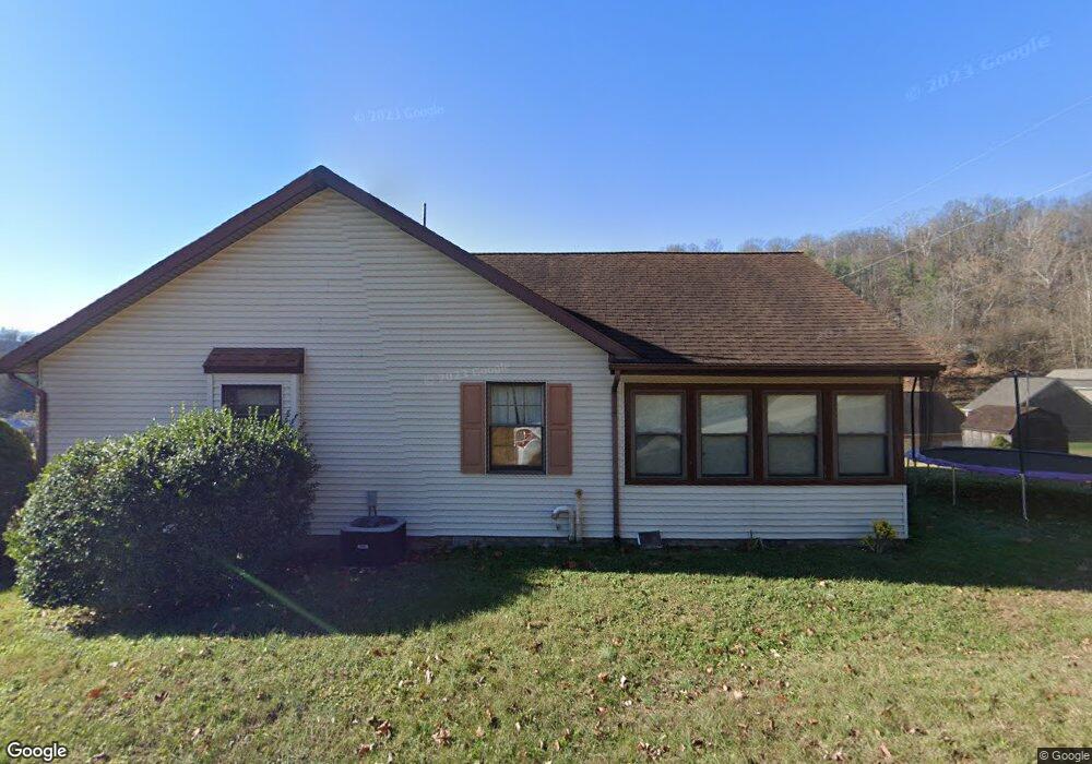
1758 State Route 141 Unit JO-1 Ironton, OH 45638
Estimated Value: $229,000 - $271,789
3
Beds
2
Baths
1,960
Sq Ft
$132/Sq Ft
Est. Value
About This Home
This home is located at 1758 State Route 141 Unit JO-1, Ironton, OH 45638 and is currently estimated at $259,197, approximately $132 per square foot. 1758 State Route 141 Unit JO-1 is a home located in Lawrence County with nearby schools including Ironton Elementary School, Ironton Middle School, and Ironton High School.
Ownership History
Date
Name
Owned For
Owner Type
Purchase Details
Closed on
May 28, 2018
Sold by
Zornes Herman E and Zornes Patricia R
Bought by
Turner Marcus D and Turner Saundra M
Current Estimated Value
Home Financials for this Owner
Home Financials are based on the most recent Mortgage that was taken out on this home.
Original Mortgage
$164,465
Outstanding Balance
$143,397
Interest Rate
4.87%
Mortgage Type
FHA
Estimated Equity
$115,800
Purchase Details
Closed on
May 24, 2007
Sold by
Waller Howard A and Waller Carol J
Bought by
Zornes Herman E and Zornes Patricia R
Home Financials for this Owner
Home Financials are based on the most recent Mortgage that was taken out on this home.
Original Mortgage
$134,400
Interest Rate
6.27%
Mortgage Type
Unknown
Purchase Details
Closed on
May 18, 1990
Sold by
Kitts Arnold J
Bought by
Waller Howard A and Waller Carol
Create a Home Valuation Report for This Property
The Home Valuation Report is an in-depth analysis detailing your home's value as well as a comparison with similar homes in the area
Home Values in the Area
Average Home Value in this Area
Purchase History
| Date | Buyer | Sale Price | Title Company |
|---|---|---|---|
| Turner Marcus D | -- | -- | |
| Zornes Herman E | $174,000 | Attorney | |
| Waller Howard A | $9,000 | -- |
Source: Public Records
Mortgage History
| Date | Status | Borrower | Loan Amount |
|---|---|---|---|
| Open | Turner Marcus D | $164,465 | |
| Previous Owner | Zornes Herman E | $134,400 |
Source: Public Records
Tax History Compared to Growth
Tax History
| Year | Tax Paid | Tax Assessment Tax Assessment Total Assessment is a certain percentage of the fair market value that is determined by local assessors to be the total taxable value of land and additions on the property. | Land | Improvement |
|---|---|---|---|---|
| 2024 | -- | $67,890 | $9,810 | $58,080 |
| 2023 | $2,430 | $67,890 | $9,810 | $58,080 |
| 2022 | $2,429 | $67,890 | $9,810 | $58,080 |
| 2021 | $2,059 | $54,790 | $8,170 | $46,620 |
| 2020 | $2,074 | $54,790 | $8,170 | $46,620 |
| 2019 | $2,066 | $54,790 | $8,170 | $46,620 |
| 2018 | $1,758 | $54,790 | $8,170 | $46,620 |
| 2017 | $1,754 | $54,790 | $8,170 | $46,620 |
| 2016 | $1,648 | $54,790 | $8,170 | $46,620 |
| 2015 | $1,543 | $50,340 | $8,990 | $41,350 |
| 2014 | $1,489 | $50,340 | $8,990 | $41,350 |
| 2013 | $1,485 | $50,340 | $8,990 | $41,350 |
Source: Public Records
Map
Nearby Homes
- 1917 Woodland Dr
- 1222 Osage Ct
- 1219 Penobscot Trail
- 2001 Liberty Ave
- 1324 S 10th St
- 914 Pine St
- 914 Pine St
- 0 S 10th St
- 2008 S 9th St
- 2008 S 9th St Unit KO-2
- 2418 S 12th St
- 707 Mastin Ave
- 1525 S 6th St
- 1619 S 6th St
- 1902 S 7th St
- 721 Chestnut St
- 721 Chestnut St Unit CO-1
- 1819 S 6th St
- 717 Chestnut St Unit IO-1
- 914 S 8th St Unit IO-2
- 1758 State Route 141 Unit JO-14
- 1758 State Route 141
- 1746 Campbell Dr
- 114 Woodlawn Dr
- 1743 Campbell Dr
- 1766 Campbell Dr Unit A
- 1766 Campbell Dr
- 1755 Campbell Dr
- 1742 Campbell Dr
- 1742 Campbell Dr Unit KO-6
- 110 Woodlawn Dr
- 1422 Woodlawn Dr
- 120 Woodlawn Dr
- 120 Woodlawn Dr
- 1770 Campbell Dr
- 1770 Campbell Dr Unit JO-25
- 1751 Campbell Dr
- 1750 Campbell Dr
- 1429 Woodlawn Dr
- 106 Scherer Rd