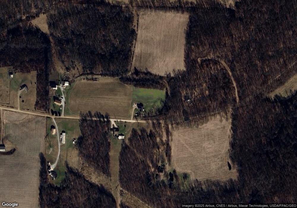
17587 Allen Rd Mount Vernon, OH 43050
Estimated Value: $321,000 - $443,000
3
Beds
2
Baths
1,488
Sq Ft
$269/Sq Ft
Est. Value
About This Home
This home is located at 17587 Allen Rd, Mount Vernon, OH 43050 and is currently estimated at $399,696, approximately $268 per square foot. 17587 Allen Rd is a home with nearby schools including Mount Vernon High School, St. Vincent de Paul School, and Christian Star Academy.
Ownership History
Date
Name
Owned For
Owner Type
Purchase Details
Closed on
Sep 26, 2022
Sold by
Stephens Danny
Bought by
Green Paul and Green Carrie
Current Estimated Value
Home Financials for this Owner
Home Financials are based on the most recent Mortgage that was taken out on this home.
Original Mortgage
$270,000
Outstanding Balance
$258,905
Interest Rate
5.55%
Mortgage Type
Balloon
Estimated Equity
$140,791
Purchase Details
Closed on
Jan 25, 2022
Sold by
Green and Carrie
Bought by
Green Paul and Green Carrie
Purchase Details
Closed on
Oct 14, 2021
Sold by
Green Paul and Green Carrie
Bought by
Green Paul and Green Carrie
Create a Home Valuation Report for This Property
The Home Valuation Report is an in-depth analysis detailing your home's value as well as a comparison with similar homes in the area
Home Values in the Area
Average Home Value in this Area
Purchase History
| Date | Buyer | Sale Price | Title Company |
|---|---|---|---|
| Green Paul | -- | -- | |
| Green Paul | -- | Giles Law Group | |
| Green Paul | -- | None Available |
Source: Public Records
Mortgage History
| Date | Status | Borrower | Loan Amount |
|---|---|---|---|
| Open | Green Paul | $270,000 |
Source: Public Records
Tax History Compared to Growth
Tax History
| Year | Tax Paid | Tax Assessment Tax Assessment Total Assessment is a certain percentage of the fair market value that is determined by local assessors to be the total taxable value of land and additions on the property. | Land | Improvement |
|---|---|---|---|---|
| 2024 | $4,850 | $111,700 | $22,240 | $89,460 |
| 2023 | $4,850 | $111,700 | $22,240 | $89,460 |
| 2022 | $564 | $11,290 | $11,290 | $0 |
| 2021 | $537 | $11,290 | $11,290 | $0 |
| 2020 | $309 | $6,600 | $6,600 | $0 |
| 2019 | $102 | $1,950 | $1,950 | $0 |
| 2018 | $103 | $1,950 | $1,950 | $0 |
| 2017 | $101 | $1,950 | $1,950 | $0 |
| 2016 | $237 | $1,810 | $1,810 | $0 |
Source: Public Records
Map
Nearby Homes
- 14499 Wooster Rd
- 14702 Wooster Rd
- 13999 Wooster Rd
- 13618 Gilchrist Rd
- 12627 Upper Gilchrist Rd
- 14021 Gilchrist Rd
- 14914 N Liberty Rd
- 17970 Scott Rd
- 1737 Vernonview Dr
- 188 Plymouth Rd
- 117 Colonial Woods Dr
- 0 N Liberty Rd
- 104 Colonial Woods Dr Unit 4
- 17421 Coshocton Rd
- 15770 Pleasant View Rd
- 17 Upland Terrace
- 6 Fairway Dr
- 0 Venture Dr Unit 20240369
- 11791 McManis Rd
- 16 Eagle Dr
- 17659 Allen Rd
- 17626 Allen Rd
- 17560 Allen Rd
- 17315 Allen Rd
- 17265 Allen Rd
- 17700 Proper Rd
- 17767 Proper Rd
- 17861 Proper Rd
- 17482 Proper Rd
- 17381 Paige Rd
- 17539 Proper Rd
- 17465 Proper Rd
- 0 Paige Rd Unit 218735
- 0 Paige Rd Unit 4486919
- 0 Paige Rd Unit 4486913
- 0 Paige Rd Unit 9033368
- 0 Paige Rd Unit 2827469
- 0 Paige Rd Unit 20210088
- 0 Paige Rd Unit 221005002
- 0 Paige Rd
