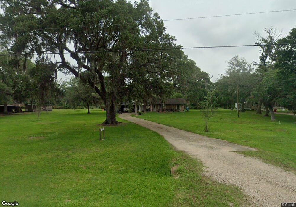
17587 County Road 945 Brazoria, TX 77422
Estimated Value: $282,513 - $607,000
--
Bed
1
Bath
1,876
Sq Ft
$204/Sq Ft
Est. Value
About This Home
This home is located at 17587 County Road 945, Brazoria, TX 77422 and is currently estimated at $382,128, approximately $203 per square foot. 17587 County Road 945 is a home with nearby schools including Sweeny Elementary School, Sweeny Junior High School, and Sweeny High School.
Ownership History
Date
Name
Owned For
Owner Type
Purchase Details
Closed on
Dec 6, 2018
Sold by
Cooley Anita and Estate Of Sandra Lea Welborn
Bought by
First Baptist Church Of Shady Acres
Current Estimated Value
Purchase Details
Closed on
Sep 22, 2000
Sold by
Holley Larry Ray
Bought by
Knight Sharon
Home Financials for this Owner
Home Financials are based on the most recent Mortgage that was taken out on this home.
Original Mortgage
$44,000
Interest Rate
7.97%
Create a Home Valuation Report for This Property
The Home Valuation Report is an in-depth analysis detailing your home's value as well as a comparison with similar homes in the area
Home Values in the Area
Average Home Value in this Area
Purchase History
| Date | Buyer | Sale Price | Title Company |
|---|---|---|---|
| First Baptist Church Of Shady Acres | -- | None Available | |
| Knight Sharon | -- | Alamo Title 03 |
Source: Public Records
Mortgage History
| Date | Status | Borrower | Loan Amount |
|---|---|---|---|
| Previous Owner | Knight Sharon | $44,000 |
Source: Public Records
Tax History Compared to Growth
Tax History
| Year | Tax Paid | Tax Assessment Tax Assessment Total Assessment is a certain percentage of the fair market value that is determined by local assessors to be the total taxable value of land and additions on the property. | Land | Improvement |
|---|---|---|---|---|
| 2025 | $4,202 | $239,390 | $76,300 | $163,090 |
| 2023 | $4,202 | $274,500 | $85,930 | $188,570 |
| 2022 | $2,067 | $107,320 | $44,840 | $62,480 |
| 2021 | $3,115 | $148,180 | $38,430 | $109,750 |
| 2020 | $3,216 | $143,820 | $38,430 | $105,390 |
| 2019 | $3,009 | $129,010 | $21,980 | $107,030 |
| 2018 | $2,023 | $87,840 | $18,320 | $69,520 |
| 2017 | $2,826 | $132,160 | $23,820 | $108,340 |
| 2016 | $2,569 | $122,770 | $21,980 | $100,790 |
| 2015 | $454 | $100,760 | $18,320 | $82,440 |
| 2014 | $454 | $103,000 | $15,240 | $87,760 |
Source: Public Records
Map
Nearby Homes
- 16227 County Road 489
- 17251 County Road 945d
- 4261 County Road 506
- 5431 County Road 506
- 5205 County Road 803
- 4799 Cr 652
- 4799 County Road 652
- 0 Cr-506 Unit 88472236
- 4701 County Road 747a
- 0 County Road 506 Unit 90697040
- 3992 County Road 244
- 4306 County Road 244
- 4 County Road 344
- 5463 County Road 961
- 3862 Farm To Market Road 521
- 0000 County Road 802
- 6018 County Road 802
- 5096 Buck Rd
- 3559 Farm To Market Road 521
- 5401 County Road 334 Unit 10
- 3258 County Road 945
- 17531 County Road 945
- 17570 County Road 945
- 3256 County Road 945
- 17542 County Road 945
- 17620 County Road 945
- 17701 County Road 945
- 4518 County Road 945a
- 17433 County Road 945
- 3261 County Road 945
- 4522 County Road 945a
- 3261 Cr-945
- 3315 County Road 945
- 17804 County Road 945
- 3316 County Road 945
- 17288 County Road 945b
- 4519 County Road 945a
- 4519 County Road 945a
- 17818 County Road 945
- 4521 County Road 945a