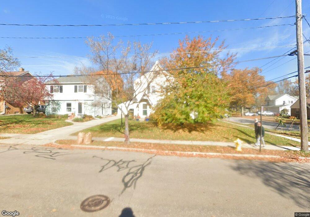
1759 Lyon St NE Grand Rapids, MI 49503
Fulton Heights NeighborhoodEstimated Value: $344,000 - $363,033
3
Beds
2
Baths
1,700
Sq Ft
$206/Sq Ft
Est. Value
About This Home
This home is located at 1759 Lyon St NE, Grand Rapids, MI 49503 and is currently estimated at $350,258, approximately $206 per square foot. 1759 Lyon St NE is a home located in Kent County with nearby schools including Congress Elementary, Alger Middle School, and Ottawa Hills High School.
Ownership History
Date
Name
Owned For
Owner Type
Purchase Details
Closed on
Sep 22, 2016
Sold by
Krause Jamie M and Brinks Jamie M
Bought by
Tgk3 Properties Llc
Current Estimated Value
Purchase Details
Closed on
Jan 21, 2013
Sold by
Brinks Dale A and Brinks Julie
Bought by
Brinks Jamie M
Home Financials for this Owner
Home Financials are based on the most recent Mortgage that was taken out on this home.
Original Mortgage
$83,852
Interest Rate
3.38%
Mortgage Type
New Conventional
Purchase Details
Closed on
Mar 26, 2010
Sold by
Mccarty Joline J
Bought by
Brinks Jamie M and Brinks Dale A
Home Financials for this Owner
Home Financials are based on the most recent Mortgage that was taken out on this home.
Original Mortgage
$92,948
Interest Rate
4.96%
Mortgage Type
FHA
Create a Home Valuation Report for This Property
The Home Valuation Report is an in-depth analysis detailing your home's value as well as a comparison with similar homes in the area
Home Values in the Area
Average Home Value in this Area
Purchase History
| Date | Buyer | Sale Price | Title Company |
|---|---|---|---|
| Tgk3 Properties Llc | -- | None Available | |
| Brinks Jamie M | -- | Chicago Title | |
| Brinks Jamie M | $105,000 | Chicago Title |
Source: Public Records
Mortgage History
| Date | Status | Borrower | Loan Amount |
|---|---|---|---|
| Previous Owner | Brinks Jamie M | $83,852 | |
| Previous Owner | Brinks Jamie M | $92,948 |
Source: Public Records
Tax History Compared to Growth
Tax History
| Year | Tax Paid | Tax Assessment Tax Assessment Total Assessment is a certain percentage of the fair market value that is determined by local assessors to be the total taxable value of land and additions on the property. | Land | Improvement |
|---|---|---|---|---|
| 2025 | $4,359 | $150,700 | $0 | $0 |
| 2024 | $4,359 | $136,700 | $0 | $0 |
| 2023 | $4,523 | $115,100 | $0 | $0 |
| 2022 | $4,295 | $105,600 | $0 | $0 |
| 2021 | $160 | $100,000 | $0 | $0 |
| 2020 | $4,049 | $98,700 | $0 | $0 |
| 2019 | $4,145 | $87,700 | $0 | $0 |
| 2018 | $4,019 | $76,900 | $0 | $0 |
| 2017 | $3,920 | $68,700 | $0 | $0 |
| 2016 | $3,068 | $65,000 | $0 | $0 |
| 2015 | $2,923 | $65,000 | $0 | $0 |
| 2013 | -- | $59,200 | $0 | $0 |
Source: Public Records
Map
Nearby Homes
- 1822 Mayfair Dr NE
- 315 Lawndale Ave NE
- 352 Holmdene Blvd NE
- 31 Mayfair Dr NE
- 12 Wallinwood Ave NE
- 228 Baynton Ave NE
- 145 Baynton Ave NE
- 3 Woodward Ln SE
- 250 Mayfield Ave NE
- 345 Mayfield Ave NE
- 250 Plymouth Ave SE
- 1950 Robinson Rd SE
- 270 Lakeside Dr SE
- 40 Stormzand Place NE
- 1659 Mason St NE
- 1118 Fulton St E
- 437 Rosewood Ave SE
- 1432 Matilda St NE
- 1435 Matilda St NE
- 2350 Elinor Ln SE Unit Lot 7
- 1751 Lyon St NE
- 215 Plymouth Ave NE
- 1747 Lyon St NE
- 221 Plymouth Ave NE
- 202 Plymouth Ave NE
- 1741 Lyon St NE
- 212 Plymouth Ave NE
- 1756 Lyon St NE
- 225 Plymouth Ave NE
- 214 Lawndale Ave NE
- 200 Lawndale Ave NE
- 166 Plymouth Ave NE
- 216 Plymouth Ave NE
- 220 Lawndale Ave NE
- 231 Plymouth Ave NE
- 226 Lawndale Ave NE
- 226 Plymouth Ave NE
- 157 Plymouth Ave NE
- 235 Plymouth Ave NE
- 230 Lawndale Ave NE