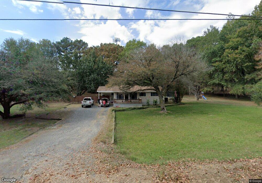
1759 N 9th St de Queen, AR 71832
Estimated Value: $95,546 - $159,000
Studio
2
Baths
1,056
Sq Ft
$119/Sq Ft
Est. Value
About This Home
This home is located at 1759 N 9th St, de Queen, AR 71832 and is currently estimated at $125,137, approximately $118 per square foot. 1759 N 9th St is a home located in Sevier County with nearby schools including Dequeen Primary School, Dequeen Elementary School, and Dequeen Junior High School.
Ownership History
Date
Name
Owned For
Owner Type
Purchase Details
Closed on
Apr 13, 2018
Sold by
Jeffrey Terry
Bought by
Brice Higgins
Current Estimated Value
Home Financials for this Owner
Home Financials are based on the most recent Mortgage that was taken out on this home.
Original Mortgage
$80,808
Outstanding Balance
$69,178
Interest Rate
4.43%
Mortgage Type
New Conventional
Estimated Equity
$55,959
Purchase Details
Closed on
Apr 14, 1982
Bought by
Davis Stephen and Davis Carmel
Create a Home Valuation Report for This Property
The Home Valuation Report is an in-depth analysis detailing your home's value as well as a comparison with similar homes in the area
Home Values in the Area
Average Home Value in this Area
Purchase History
| Date | Buyer | Sale Price | Title Company |
|---|---|---|---|
| Brice Higgins | $79,100 | Attorney Only | |
| Davis Stephen | -- | -- |
Source: Public Records
Mortgage History
| Date | Status | Borrower | Loan Amount |
|---|---|---|---|
| Open | Brice Higgins | $80,808 |
Source: Public Records
Tax History
| Year | Tax Paid | Tax Assessment Tax Assessment Total Assessment is a certain percentage of the fair market value that is determined by local assessors to be the total taxable value of land and additions on the property. | Land | Improvement |
|---|---|---|---|---|
| 2025 | -- | $12,490 | $2,000 | $10,490 |
| 2024 | -- | $12,490 | $2,000 | $10,490 |
| 2023 | $0 | $12,490 | $2,000 | $10,490 |
| 2022 | $0 | $12,490 | $2,000 | $10,490 |
| 2021 | $278 | $12,490 | $2,000 | $10,490 |
| 2020 | $278 | $12,490 | $2,000 | $10,490 |
| 2019 | $278 | $6,190 | $800 | $5,390 |
| 2018 | $278 | $6,190 | $800 | $5,390 |
| 2017 | $248 | $6,190 | $800 | $5,390 |
| 2016 | $248 | $6,190 | $800 | $5,390 |
| 2015 | $248 | $6,190 | $800 | $5,390 |
| 2014 | $248 | $8,400 | $1,000 | $7,400 |
Source: Public Records
Map
Nearby Homes
- 181 Craig Ln
- TBD Collin Raye Dr
- 100 Long Meadow Dr
- 115 Heritage Place
- 0 To Be Determined Unit 23001783
- 407 N 4th St
- 132 E Robinson Rd
- 608 W Eighty Thousand Rd
- 117 N Rolling Oaks Dr
- 125 Rolling Oaks Dr
- 118 Rolling Oaks Dr
- 325 Crosstrails Rd
- 904 E Collin Raye Dr
- 109 Jt Cir
- 107 Jt Cir
- 105 Jt Cir
- 108 Jt Cir
- 143 N Rolling Oaks Dr
- 110 Rolling Oaks Dr
- 139 Leopard Dr
Your Personal Tour Guide
Ask me questions while you tour the home.