Estimated Value: $123,000 - $208,000
3
Beds
1
Bath
1,008
Sq Ft
$167/Sq Ft
Est. Value
About This Home
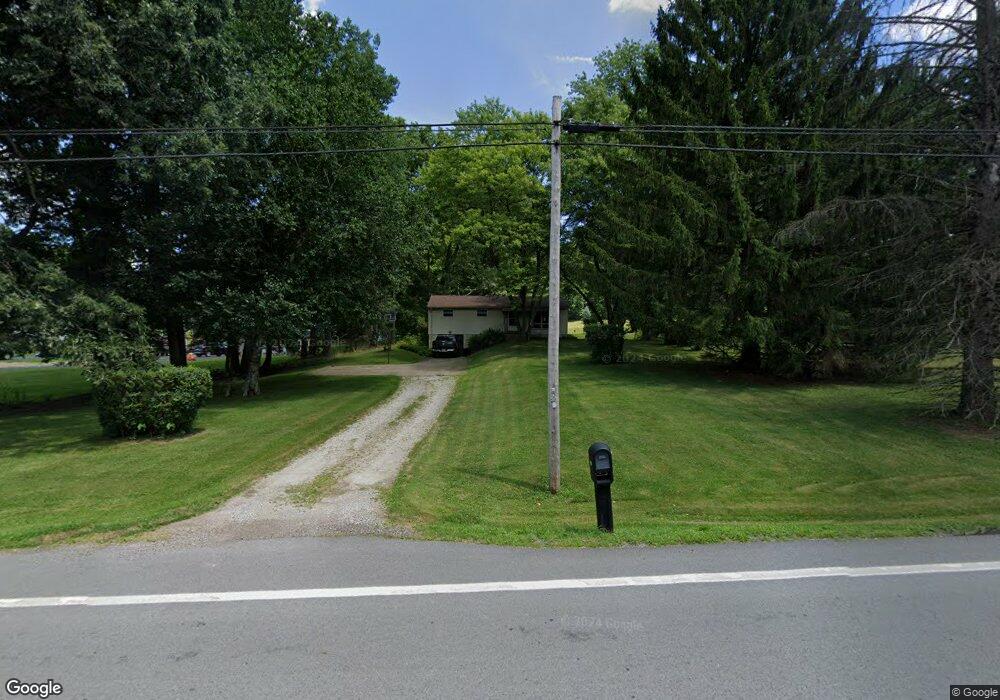
This home is located at 1759 State Route 39, Lucas, OH 44843 and is currently estimated at $168,408, approximately $167 per square foot. 1759 State Route 39 is a home located in Richland County with nearby schools including Lucas Elementary School, Lucas Heritage Middle School, and Lucas High School.
Ownership History
Date
Name
Owned For
Owner Type
Purchase Details
Closed on
Sep 28, 2009
Sold by
Porter Christine Kay
Bought by
Porter John G
Current Estimated Value
Purchase Details
Closed on
Jul 30, 1993
Sold by
Porter John G
Bought by
Porter John G
Purchase Details
Closed on
Mar 11, 1993
Sold by
Alexander Mary E
Bought by
Alexander Timothy R
Create a Home Valuation Report for This Property
The Home Valuation Report is an in-depth analysis detailing your home's value as well as a comparison with similar homes in the area
Home Values in the Area
Average Home Value in this Area
Purchase History
| Date | Buyer | Sale Price | Title Company |
|---|---|---|---|
| Porter John G | -- | None Available | |
| Porter John G | -- | -- | |
| Alexander Timothy R | -- | -- |
Source: Public Records
Tax History Compared to Growth
Tax History
| Year | Tax Paid | Tax Assessment Tax Assessment Total Assessment is a certain percentage of the fair market value that is determined by local assessors to be the total taxable value of land and additions on the property. | Land | Improvement |
|---|---|---|---|---|
| 2024 | $1,293 | $30,850 | $5,710 | $25,140 |
| 2023 | $1,293 | $30,850 | $5,710 | $25,140 |
| 2022 | $1,116 | $23,790 | $5,100 | $18,690 |
| 2021 | $1,119 | $23,790 | $5,100 | $18,690 |
| 2020 | $1,137 | $23,790 | $5,100 | $18,690 |
| 2019 | $1,025 | $20,170 | $4,330 | $15,840 |
| 2018 | $1,055 | $20,170 | $4,330 | $15,840 |
| 2017 | $1,078 | $20,170 | $4,330 | $15,840 |
| 2016 | $1,094 | $21,010 | $4,330 | $16,680 |
| 2015 | $1,094 | $21,010 | $4,330 | $16,680 |
| 2014 | $1,099 | $21,010 | $4,330 | $16,680 |
| 2012 | $541 | $21,010 | $4,330 | $16,680 |
Source: Public Records
Map
Nearby Homes
- 1679 Pulver Rd
- 174 W Main St
- 1875 Mansfield Lucas Rd
- 0 State Route 39 & I-71 Northeast Quadrant
- 0 State Route 39 & I-71 Southeast Quadrant
- 0 Moffett Rd
- 2061 Washington North Rd
- 929 Antionette Dr
- 1135 E Hanley Rd
- 0 Peterson Rd
- 0 Garver Washington Rd S
- 0 Garver Rd Washington Rd S Unit 20253648
- 0 Woodville Rd Unit Lot 14952, 14953
- 0 Woodville Rd Unit Lot 14954, 14955
- 0 Woodville Rd Unit Lot 14956, 14957,
- 0 Mount Zion Rd Unit 9069748
- 2905 Tucker Rd
- 76 Ford Rd N
- 0 Mcelroy Rd
- 794 Mansfield Washington Rd
- 1755 State Route 39
- 1771 State Route 39
- 1751 State Route 39
- 1775 State Route 39
- 1779 Ohio 39
- 1796 Lucas Rd
- 1779 State Route 39
- 1765 State Route 39
- 1783 State Route 39
- 1787 State Route 39
- 1795 State Route 39
- 1547 Rummel Rd
- 1621 Rummel Rd
- 1803 State Route 39
- 1803 State Route 39
- 1803 State Route 39
- 1803 State Route 39
- 1605 Rummel Rd
- 1649 Rummel Rd
- 1726 Lucas Rd