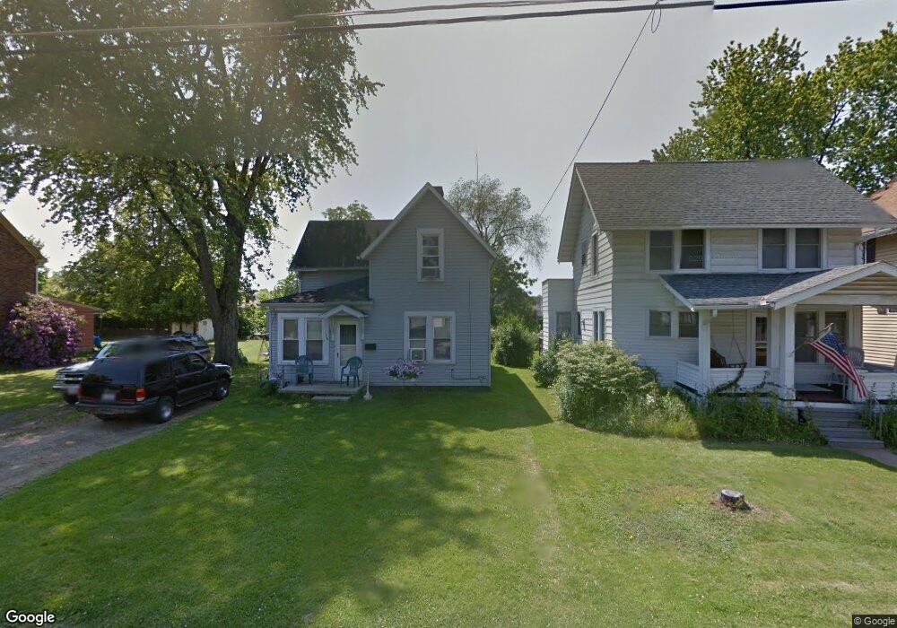
176 Bartley Ave Mansfield, OH 44903
Estimated Value: $77,000 - $387,000
Studio
--
Bath
--
Sq Ft
6,403
Sq Ft
About This Home
This home is located at 176 Bartley Ave, Mansfield, OH 44903 and is currently estimated at $187,400. 176 Bartley Ave is a home located in Richland County with nearby schools including St. Peter's Elementary/Montessori School, Discovery School, and St. Peter's Junior High / High School.
Ownership History
Date
Name
Owned For
Owner Type
Purchase Details
Closed on
Jul 27, 2010
Sold by
Fugitt Mary E and Fugitt Guy L
Bought by
Fugitt Pamela S
Current Estimated Value
Purchase Details
Closed on
May 18, 2004
Sold by
Fugitt Guy L
Bought by
Fugitt Guy L and Fugitt Mary E
Purchase Details
Closed on
Jan 6, 2000
Sold by
Hutchinson Thomas L
Bought by
Corwin Robbie A and Corwin Kimberly A
Home Financials for this Owner
Home Financials are based on the most recent Mortgage that was taken out on this home.
Original Mortgage
$34,400
Outstanding Balance
$13,494
Interest Rate
10.99%
Mortgage Type
New Conventional
Estimated Equity
$173,906
Create a Home Valuation Report for This Property
The Home Valuation Report is an in-depth analysis detailing your home's value as well as a comparison with similar homes in the area
Home Values in the Area
Average Home Value in this Area
Purchase History
| Date | Buyer | Sale Price | Title Company |
|---|---|---|---|
| Fugitt Pamela S | -- | Attorney | |
| Fugitt Mary E | -- | Attorney | |
| Fugitt Guy L | -- | -- | |
| Corwin Robbie A | $43,000 | -- |
Source: Public Records
Mortgage History
| Date | Status | Borrower | Loan Amount |
|---|---|---|---|
| Open | Corwin Robbie A | $34,400 |
Source: Public Records
Tax History
| Year | Tax Paid | Tax Assessment Tax Assessment Total Assessment is a certain percentage of the fair market value that is determined by local assessors to be the total taxable value of land and additions on the property. | Land | Improvement |
|---|---|---|---|---|
| 2024 | $108 | $2,250 | $1,010 | $1,240 |
| 2023 | $108 | $2,250 | $1,010 | $1,240 |
| 2022 | $120 | $2,100 | $860 | $1,240 |
| 2021 | $121 | $2,100 | $860 | $1,240 |
| 2020 | $124 | $2,100 | $860 | $1,240 |
| 2019 | $137 | $2,100 | $860 | $1,240 |
| 2018 | $135 | $2,100 | $860 | $1,240 |
| 2017 | $101 | $2,100 | $860 | $1,240 |
| 2016 | $70 | $1,080 | $210 | $870 |
| 2015 | $67 | $1,080 | $210 | $870 |
| 2014 | $66 | $1,080 | $210 | $870 |
| 2012 | $117 | $5,010 | $3,350 | $1,660 |
Source: Public Records
Map
Nearby Homes
- 487 Davey Ave
- 158 Vennum Ave
- 455 Marion Ave
- 133 Stewart Ave S
- 189 Westwood Ave
- 116 Stewart Ave S
- 108 Stewart Ave S
- 282 Vennum Ave
- 31 Bartley Ave
- 30 Douglas Ave
- 119 Carpenter Rd
- 24 Stewart Ave S
- 135 Wood St
- 679 Coleman Rd
- 81 Penn Ave
- 458 W West Dickson Ave
- 616 Cline Ave
- 131 Sturges Ave
- 143 Fairlawn Ave
- 135 Fairlawn Ave
- 176 Bartley Ave
- 172 Bartley Ave
- 168 Bartley Ave
- 184 Bartley Ave
- 188 Bartley Ave
- 156 Bartley Ave
- 181 Bartley Ave
- 185 Bartley Ave
- 175 Bartley Ave
- 173 Bartley Ave
- 171 Bartley Ave
- 159 Bartley Ave
- 189 Bartley Ave
- 480 Glessner Ave
- 153 Bartley Ave
- 148 Bartley Ave
- 448 Glessner Ave
- 440 Glessner Ave
- 371 Marion Ave
- 144 Bartley Ave
Your Personal Tour Guide
Ask me questions while you tour the home.