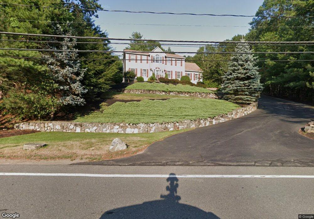
176 Boston St Middleton, MA 01949
Estimated Value: $1,132,162 - $1,315,000
4
Beds
3
Baths
2,900
Sq Ft
$419/Sq Ft
Est. Value
About This Home
This home is located at 176 Boston St, Middleton, MA 01949 and is currently estimated at $1,215,541, approximately $419 per square foot. 176 Boston St is a home located in Essex County with nearby schools including Howe-Manning Elementary School, Fuller Meadow Elementary School, and Masconomet Regional Middle School.
Ownership History
Date
Name
Owned For
Owner Type
Purchase Details
Closed on
Apr 22, 2016
Sold by
Servizio Carl and Servizio Tanya S
Bought by
Prifti Filgen and Prifti Nerejda
Current Estimated Value
Home Financials for this Owner
Home Financials are based on the most recent Mortgage that was taken out on this home.
Original Mortgage
$523,250
Outstanding Balance
$414,562
Interest Rate
3.68%
Mortgage Type
Purchase Money Mortgage
Estimated Equity
$800,979
Create a Home Valuation Report for This Property
The Home Valuation Report is an in-depth analysis detailing your home's value as well as a comparison with similar homes in the area
Home Values in the Area
Average Home Value in this Area
Purchase History
| Date | Buyer | Sale Price | Title Company |
|---|---|---|---|
| Prifti Filgen | $672,500 | -- | |
| Prifti Filgen | $672,500 | -- |
Source: Public Records
Mortgage History
| Date | Status | Borrower | Loan Amount |
|---|---|---|---|
| Open | Prifti Filgen | $523,250 | |
| Closed | Prifti Filgen | $523,250 |
Source: Public Records
Tax History
| Year | Tax Paid | Tax Assessment Tax Assessment Total Assessment is a certain percentage of the fair market value that is determined by local assessors to be the total taxable value of land and additions on the property. | Land | Improvement |
|---|---|---|---|---|
| 2025 | $11,112 | $934,600 | $344,300 | $590,300 |
| 2024 | $10,923 | $926,500 | $344,300 | $582,200 |
| 2023 | $10,008 | $777,600 | $344,300 | $433,300 |
| 2022 | $9,402 | $709,600 | $310,200 | $399,400 |
| 2021 | $9,058 | $660,200 | $276,200 | $384,000 |
| 2020 | $8,724 | $640,500 | $252,200 | $388,300 |
| 2019 | $8,737 | $638,200 | $260,200 | $378,000 |
| 2018 | $8,647 | $619,400 | $256,200 | $363,200 |
| 2017 | $8,150 | $584,200 | $226,200 | $358,000 |
| 2016 | $7,624 | $548,900 | $196,200 | $352,700 |
| 2015 | $7,554 | $548,200 | $200,200 | $348,000 |
Source: Public Records
Map
Nearby Homes
- 6 White Ln
- 6 Cabral Dr
- 12 Couture Way
- 1 Couture Way
- 7 Wedge Ct Unit 7
- 2 Wedge Ct Unit 2
- 2 Tyler Ln
- 7 James Ave
- 40 Glen Dr
- 14 Niblick Way
- 34 Spoon Way
- 1 Mills Point Unit 1
- 1466 Main St
- 19 Peachey Cir
- 23 Hamilton Rd
- 9 Stableford Ct Unit 9
- 7 Stableford Ct Unit 10
- 5 Stableford Ct Unit 11
- 19 Fairway Ln Unit 53
- 1 Stableford Ct Unit 13
Your Personal Tour Guide
Ask me questions while you tour the home.