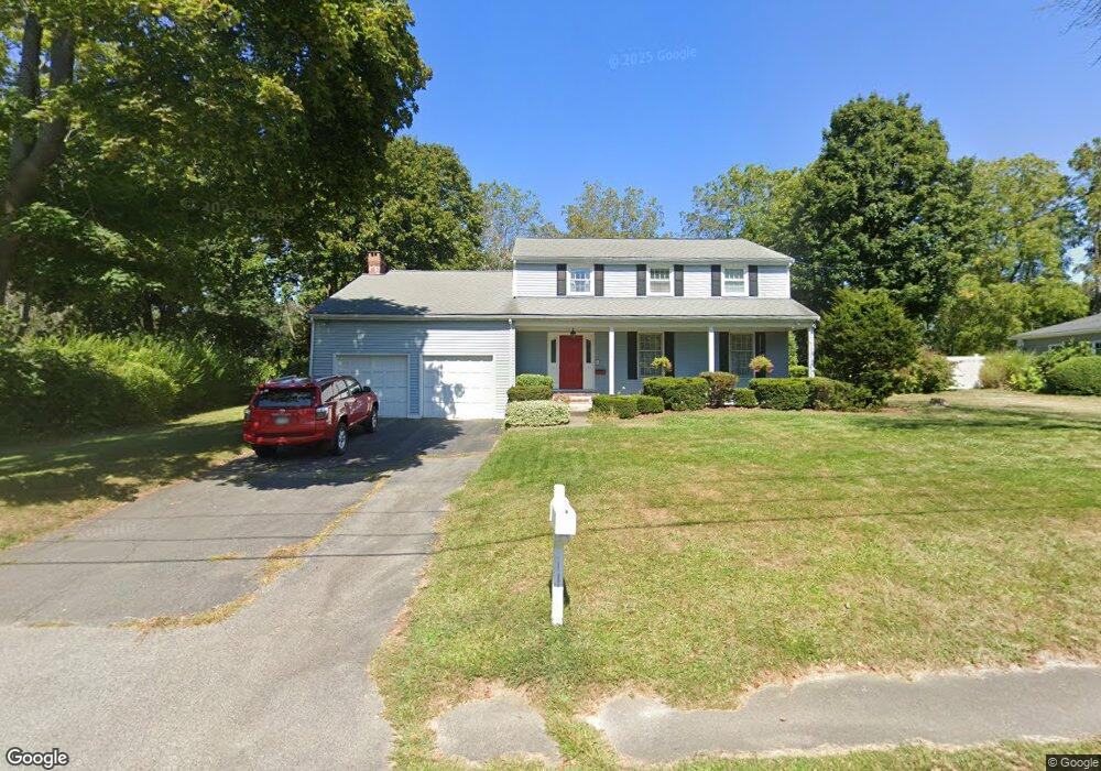
176 Bulrush Farm Rd Scituate, MA 02066
Estimated Value: $1,107,000 - $1,343,000
5
Beds
3
Baths
2,600
Sq Ft
$463/Sq Ft
Est. Value
About This Home
This home is located at 176 Bulrush Farm Rd, Scituate, MA 02066 and is currently estimated at $1,204,950, approximately $463 per square foot. 176 Bulrush Farm Rd is a home located in Plymouth County with nearby schools including Hatherly Elementary School, Lester J. Gates Middle School, and Scituate High School.
Ownership History
Date
Name
Owned For
Owner Type
Purchase Details
Closed on
Jan 26, 1996
Sold by
Ransom Marquand S and Ransom Maureen O
Bought by
Matson David S and Matson Diana M
Current Estimated Value
Home Financials for this Owner
Home Financials are based on the most recent Mortgage that was taken out on this home.
Original Mortgage
$120,000
Interest Rate
7.13%
Mortgage Type
Purchase Money Mortgage
Create a Home Valuation Report for This Property
The Home Valuation Report is an in-depth analysis detailing your home's value as well as a comparison with similar homes in the area
Home Values in the Area
Average Home Value in this Area
Purchase History
| Date | Buyer | Sale Price | Title Company |
|---|---|---|---|
| Matson David S | $253,000 | -- |
Source: Public Records
Mortgage History
| Date | Status | Borrower | Loan Amount |
|---|---|---|---|
| Open | Matson David S | $108,000 | |
| Closed | Matson David S | $120,000 | |
| Previous Owner | Matson David S | $50,000 |
Source: Public Records
Tax History Compared to Growth
Tax History
| Year | Tax Paid | Tax Assessment Tax Assessment Total Assessment is a certain percentage of the fair market value that is determined by local assessors to be the total taxable value of land and additions on the property. | Land | Improvement |
|---|---|---|---|---|
| 2025 | $9,245 | $925,400 | $415,500 | $509,900 |
| 2024 | $9,094 | $877,800 | $377,700 | $500,100 |
| 2023 | $8,886 | $813,900 | $343,400 | $470,500 |
| 2022 | $8,886 | $704,100 | $309,600 | $394,500 |
| 2021 | $8,784 | $659,000 | $308,900 | $350,100 |
| 2020 | $8,573 | $635,000 | $297,000 | $338,000 |
| 2019 | $8,383 | $610,100 | $291,200 | $318,900 |
| 2018 | $8,000 | $573,500 | $287,000 | $286,500 |
| 2017 | $7,759 | $550,700 | $276,000 | $274,700 |
| 2016 | $7,474 | $528,600 | $253,900 | $274,700 |
| 2015 | $6,779 | $517,500 | $242,800 | $274,700 |
Source: Public Records
Map
Nearby Homes
- 112 Hollett St
- 16 3 Ring Rd
- 7 Border St
- 26 Mordecai Lincoln Rd
- 29 Country Club Cir
- 46 Marys Ln
- 53 Border St
- 59 Captain Peirce Rd
- 1 Hillside Rd
- 54 Woodland Rd
- 14 Aberdeen Dr
- 11 Forest Ln
- 9 Forest Ln Unit 9
- 817 Country Way
- 2 Windward Ln
- 378 Tilden Rd
- 392 S Main St
- 84 Booth Hill Rd
- 355 Tilden Rd
- 9 Kyle Path
- 170 Bulrush Farm Rd
- 182 Bulrush Farm Rd
- 179 Bulrush Farm Rd
- 169 Bulrush Farm Rd
- 188 Bulrush Farm Rd
- 8 Battles Hill Ln
- 85 Hollett St
- 93 Hollett St
- 12 Battles Hill Ln
- 14 Battles Hill Ln
- 6 Battles Hill Ln
- 75 Hollett St
- 163 Bulrush Farm Rd
- 162 Bulrush Farm Rd
- 97 Hollett St
- 10 Battles Hill Ln
- 88 Hollett St
- 16 Battles Hill Ln
- 92 Hollett St
- 69 Hollett St