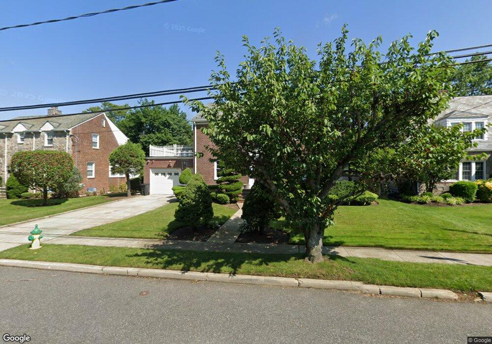
176 California Ave Freeport, NY 11520
Estimated Value: $794,000 - $857,677
3
Beds
3
Baths
2,032
Sq Ft
$406/Sq Ft
Est. Value
About This Home
This home is located at 176 California Ave, Freeport, NY 11520 and is currently estimated at $825,839, approximately $406 per square foot. 176 California Ave is a home located in Nassau County with nearby schools including Baldwin Senior High School.
Ownership History
Date
Name
Owned For
Owner Type
Purchase Details
Closed on
Apr 12, 2021
Sold by
Thigpen Gary and Thigpen Darlene
Bought by
Appoleon Elie E and Dolin Sherline E
Current Estimated Value
Home Financials for this Owner
Home Financials are based on the most recent Mortgage that was taken out on this home.
Original Mortgage
$646,475
Outstanding Balance
$584,621
Interest Rate
3.1%
Mortgage Type
New Conventional
Estimated Equity
$241,218
Purchase Details
Closed on
Dec 10, 2003
Sold by
Albanese Luisa
Bought by
Thigpen Gary
Purchase Details
Closed on
Jan 26, 2001
Create a Home Valuation Report for This Property
The Home Valuation Report is an in-depth analysis detailing your home's value as well as a comparison with similar homes in the area
Home Values in the Area
Average Home Value in this Area
Purchase History
| Date | Buyer | Sale Price | Title Company |
|---|---|---|---|
| Appoleon Elie E | $680,500 | First American Title | |
| Thigpen Gary | $455,000 | -- | |
| -- | -- | -- |
Source: Public Records
Mortgage History
| Date | Status | Borrower | Loan Amount |
|---|---|---|---|
| Open | Appoleon Elie E | $646,475 |
Source: Public Records
Tax History Compared to Growth
Tax History
| Year | Tax Paid | Tax Assessment Tax Assessment Total Assessment is a certain percentage of the fair market value that is determined by local assessors to be the total taxable value of land and additions on the property. | Land | Improvement |
|---|---|---|---|---|
| 2025 | $13,022 | $553 | $155 | $398 |
| 2024 | $1,125 | $522 | $155 | $367 |
| 2023 | $11,604 | $522 | $155 | $367 |
| 2022 | $11,604 | $522 | $155 | $367 |
| 2021 | $13,874 | $542 | $161 | $381 |
| 2020 | $10,121 | $663 | $331 | $332 |
| 2019 | $1,100 | $663 | $331 | $332 |
| 2018 | $5,355 | $663 | $0 | $0 |
| 2017 | $6,482 | $663 | $331 | $332 |
| 2016 | $7,477 | $663 | $325 | $338 |
| 2015 | $975 | $675 | $331 | $344 |
| 2014 | $975 | $675 | $331 | $344 |
| 2013 | $921 | $675 | $331 | $344 |
Source: Public Records
Map
Nearby Homes
- 154 California Ave
- 215 N Brookside Ave
- 345 W Seaman Ave
- 142 Maryland Ave
- 1 Willowbrook Ln
- 1850 Voshage St
- 107 California Ave
- 89 Delaware Ave
- 174 Delaware Ave
- 139 New York Ave
- 187 Moore Ave
- 396 Maryland Ave
- 15 Mckenna Ave
- 254 Lena Ave
- 36 New York Ave
- 2 Twain St
- 152 Evans Ave
- 1014 Kings Pkwy
- 319 Maryland Ave
- 915 Wallace Ave
- 172 California Ave
- 182 California Ave
- 19 Willowbrook Ln
- 21 Willowbrook Ln
- 162 California Ave
- 132 Virginia Ave
- 181 California Ave
- 15 Willowbrook Ln
- 251 N Brookside Ave
- 157 California Ave
- 123 Virginia Ave
- 261 N Brookside Ave
- 20 Willowbrook Ln
- 22 Willowbrook Ln
- 257 N Brookside Ave
- 244 N Brookside Ave
- 128 Virginia Ave
- 13 Willowbrook Ln
- 18 Willowbrook Ln
- 117 Virginia Ave