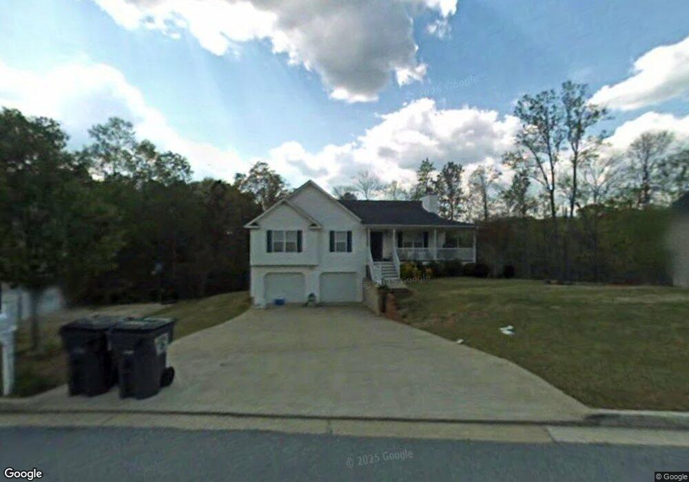
176 Cannon Trail Dallas, GA 30157
Estimated Value: $291,036 - $304,000
3
Beds
2
Baths
1,427
Sq Ft
$209/Sq Ft
Est. Value
About This Home
This home is located at 176 Cannon Trail, Dallas, GA 30157 and is currently estimated at $298,509, approximately $209 per square foot. 176 Cannon Trail is a home located in Paulding County with nearby schools including Lillian C. Poole Elementary School, South Paulding Middle School, and Paulding County High School.
Ownership History
Date
Name
Owned For
Owner Type
Purchase Details
Closed on
Mar 15, 2002
Sold by
Amc Constrcution Inc
Bought by
Coltrane Wayne P and Coltrane Nicole M
Current Estimated Value
Home Financials for this Owner
Home Financials are based on the most recent Mortgage that was taken out on this home.
Original Mortgage
$116,065
Interest Rate
6.92%
Mortgage Type
FHA
Purchase Details
Closed on
Aug 16, 2001
Sold by
Devco Development Inc
Home Financials for this Owner
Home Financials are based on the most recent Mortgage that was taken out on this home.
Original Mortgage
$90,500
Interest Rate
7.18%
Mortgage Type
New Conventional
Purchase Details
Closed on
Aug 7, 2001
Sold by
Devco Dev Inc
Bought by
Amc Construction Inc
Home Financials for this Owner
Home Financials are based on the most recent Mortgage that was taken out on this home.
Original Mortgage
$90,500
Interest Rate
7.18%
Mortgage Type
New Conventional
Create a Home Valuation Report for This Property
The Home Valuation Report is an in-depth analysis detailing your home's value as well as a comparison with similar homes in the area
Home Values in the Area
Average Home Value in this Area
Purchase History
| Date | Buyer | Sale Price | Title Company |
|---|---|---|---|
| Coltrane Wayne P | $117,900 | -- | |
| Coltrane Wayne P | $117,900 | -- | |
| -- | $25,000 | -- | |
| Amc Construction Inc | $375,000 | -- |
Source: Public Records
Mortgage History
| Date | Status | Borrower | Loan Amount |
|---|---|---|---|
| Previous Owner | Coltrane Wayne P | $116,065 | |
| Previous Owner | Amc Construction Inc | $90,500 |
Source: Public Records
Tax History Compared to Growth
Tax History
| Year | Tax Paid | Tax Assessment Tax Assessment Total Assessment is a certain percentage of the fair market value that is determined by local assessors to be the total taxable value of land and additions on the property. | Land | Improvement |
|---|---|---|---|---|
| 2024 | $2,936 | $121,288 | $12,000 | $109,288 |
| 2023 | $2,826 | $110,924 | $12,000 | $98,924 |
| 2022 | $2,422 | $94,784 | $12,000 | $82,784 |
| 2021 | $2,264 | $79,784 | $8,000 | $71,784 |
| 2020 | $1,996 | $69,044 | $8,000 | $61,044 |
| 2019 | $1,810 | $61,932 | $8,000 | $53,932 |
| 2016 | $1,380 | $47,512 | $8,000 | $39,512 |
Source: Public Records
Map
Nearby Homes
- 47 Whitley Ct
- 1136 Cole Lake Rd
- 216 McMichen Rd
- 380 Buchanan Hwy
- 298 Buchanan Hwy
- 60 Westside Cir
- +/-1.0 Cole Lake Rd
- 140 Cyrilla Walk
- 128 Cyrilla Walk
- 000 Villa Rica Hwy
- 196 Pope Place
- 0 Cole Lake Rd Unit 10607141
- 0 Cole Lake Rd Unit 7651259
- 120 Remington Place Blvd
- 205 Arbor Creek Dr
- 102 Natalie Ct
- 212 Remington Place Blvd
- 305 Remington Place Blvd
- 98 Shawnee Trail
- 158 Cannon Trail
- 181 Cannon Trail
- 218 Cannon Trail
- 211 Cannon Trail
- 119 Cannon Trail
- 136 Cannon Trail
- 240 Cannon Trail
- 116 Cannon Trail
- 116 Cannon Trail Unit GA12809
- 116 Cannon Trail
- 116 Cannon Trail Unit Ga1280
- 99 Cannon Trail
- 231 Cannon Trail
- 96 Cannon Trail
- 270 Cannon Trail
- 79 Cannon Trail
- 140 Dare Ln
- 76 Cannon Trail
- 118 Dare Ln
- 290 Cannon Trail