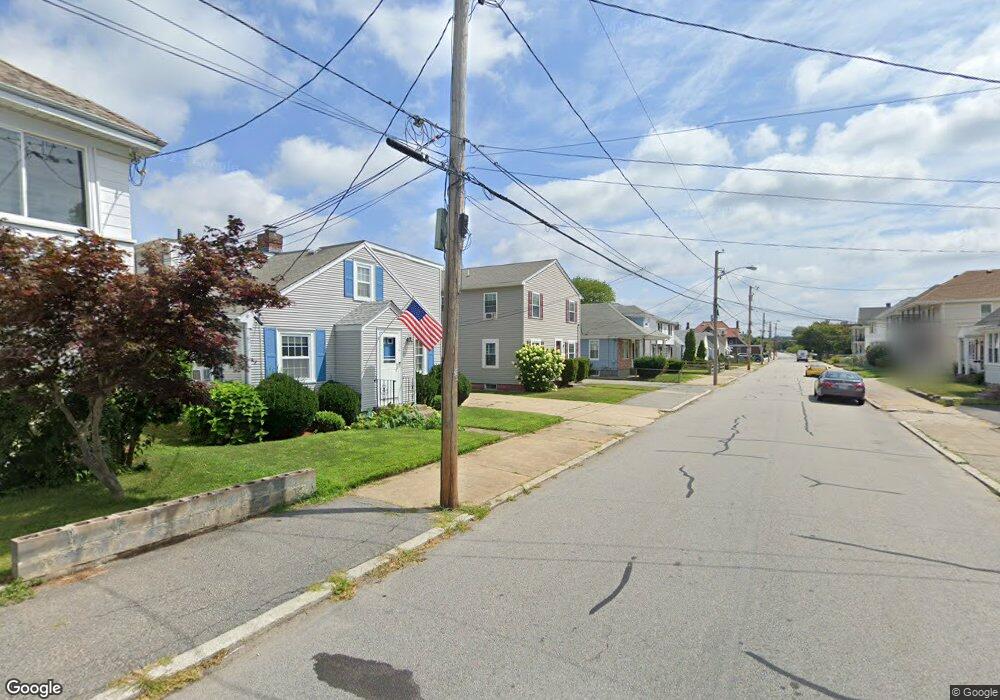
176 Carter Ave Pawtucket, RI 02861
Darlington NeighborhoodEstimated Value: $356,000 - $458,000
2
Beds
1
Bath
936
Sq Ft
$446/Sq Ft
Est. Value
About This Home
This home is located at 176 Carter Ave, Pawtucket, RI 02861 and is currently estimated at $417,486, approximately $446 per square foot. 176 Carter Ave is a home located in Providence County with nearby schools including St Cecilia School and Saint Teresa Catholic Elementary School.
Ownership History
Date
Name
Owned For
Owner Type
Purchase Details
Closed on
Oct 1, 2001
Sold by
Ribeiro Agostinoho M
Bought by
Robert Michael B and Robert Julie M
Current Estimated Value
Purchase Details
Closed on
Oct 13, 1988
Sold by
Boyer Alice
Bought by
Ribeiro Agostinho
Create a Home Valuation Report for This Property
The Home Valuation Report is an in-depth analysis detailing your home's value as well as a comparison with similar homes in the area
Home Values in the Area
Average Home Value in this Area
Purchase History
| Date | Buyer | Sale Price | Title Company |
|---|---|---|---|
| Robert Michael B | $125,000 | -- | |
| Ribeiro Agostinho | $97,000 | -- |
Source: Public Records
Mortgage History
| Date | Status | Borrower | Loan Amount |
|---|---|---|---|
| Open | Ribeiro Agostinho | $175,000 | |
| Closed | Ribeiro Agostinho | $50,000 | |
| Closed | Ribeiro Agostinho | $38,000 |
Source: Public Records
Tax History Compared to Growth
Tax History
| Year | Tax Paid | Tax Assessment Tax Assessment Total Assessment is a certain percentage of the fair market value that is determined by local assessors to be the total taxable value of land and additions on the property. | Land | Improvement |
|---|---|---|---|---|
| 2025 | $4,985 | $379,100 | $145,400 | $233,700 |
| 2024 | $4,678 | $379,100 | $145,400 | $233,700 |
| 2023 | $4,902 | $289,400 | $76,700 | $212,700 |
| 2022 | $4,798 | $289,400 | $76,700 | $212,700 |
| 2021 | $4,798 | $289,400 | $76,700 | $212,700 |
| 2020 | $4,414 | $211,300 | $64,000 | $147,300 |
| 2019 | $4,414 | $211,300 | $64,000 | $147,300 |
| 2018 | $4,253 | $211,300 | $64,000 | $147,300 |
| 2017 | $3,992 | $175,700 | $49,600 | $126,100 |
| 2016 | $3,846 | $175,700 | $49,600 | $126,100 |
| 2015 | $3,846 | $175,700 | $49,600 | $126,100 |
| 2014 | $3,604 | $156,300 | $49,600 | $106,700 |
Source: Public Records
Map
Nearby Homes
- 180 Carter Ave
- 174 Carter Ave
- 184 Carter Ave
- 195 Saratoga Ave
- 191 Saratoga Ave
- 203 Saratoga Ave
- 168 Carter Ave
- 175 Carter Ave
- 209 Saratoga Ave
- 177 Carter Ave
- 188 Carter Ave
- 179 Carter Ave
- 181 Saratoga Ave
- 181 Saratoga Ave Unit 2
- 173 Carter Ave
- 185 Carter Ave
- 95 Perrin Ave
- 187 Carter Ave
- 192 Carter Ave
- 161 Carter Ave