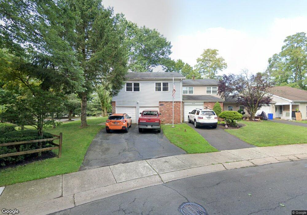
176 Commonwealth Dr Newtown, PA 18940
Estimated Value: $426,000 - $462,625
3
Beds
3
Baths
1,148
Sq Ft
$392/Sq Ft
Est. Value
About This Home
This home is located at 176 Commonwealth Dr, Newtown, PA 18940 and is currently estimated at $449,656, approximately $391 per square foot. 176 Commonwealth Dr is a home located in Bucks County with nearby schools including Goodnoe Elementary School, Newtown Middle School, and Council Rock High School North.
Ownership History
Date
Name
Owned For
Owner Type
Purchase Details
Closed on
Aug 30, 1995
Sold by
Woodward Robert M and Woodward Darleen M
Bought by
Appert Michael J and Appert Geraldine K
Current Estimated Value
Home Financials for this Owner
Home Financials are based on the most recent Mortgage that was taken out on this home.
Original Mortgage
$122,550
Interest Rate
6.75%
Purchase Details
Closed on
Mar 9, 1989
Bought by
Woodward Robert M
Create a Home Valuation Report for This Property
The Home Valuation Report is an in-depth analysis detailing your home's value as well as a comparison with similar homes in the area
Home Values in the Area
Average Home Value in this Area
Purchase History
| Date | Buyer | Sale Price | Title Company |
|---|---|---|---|
| Appert Michael J | $129,000 | -- | |
| Woodward Robert M | -- | -- |
Source: Public Records
Mortgage History
| Date | Status | Borrower | Loan Amount |
|---|---|---|---|
| Closed | Appert Michael J | $122,550 |
Source: Public Records
Tax History
| Year | Tax Paid | Tax Assessment Tax Assessment Total Assessment is a certain percentage of the fair market value that is determined by local assessors to be the total taxable value of land and additions on the property. | Land | Improvement |
|---|---|---|---|---|
| 2025 | $4,585 | $25,800 | $4,000 | $21,800 |
| 2024 | $4,585 | $25,800 | $4,000 | $21,800 |
| 2023 | $4,387 | $25,800 | $4,000 | $21,800 |
| 2022 | $4,302 | $25,800 | $4,000 | $21,800 |
| 2021 | $4,235 | $25,800 | $4,000 | $21,800 |
| 2020 | $4,031 | $25,800 | $4,000 | $21,800 |
| 2019 | $3,936 | $25,800 | $4,000 | $21,800 |
| 2018 | $3,861 | $25,800 | $4,000 | $21,800 |
| 2017 | $3,727 | $25,800 | $4,000 | $21,800 |
| 2016 | $3,702 | $25,800 | $4,000 | $21,800 |
| 2015 | -- | $25,800 | $4,000 | $21,800 |
| 2014 | -- | $25,800 | $4,000 | $21,800 |
Source: Public Records
Map
Nearby Homes
- 144 Leedom Way Unit 31
- 163 Leedom Way Unit 25
- 205 High St
- 41 Ardsley Ct
- 104 Cornell Rd
- 36 Fieldstone Dr
- 27 Seedling Dr
- 293 Sydney Rd
- 54 German Ave
- 810 Diamond Dr Unit 810
- 33 E Park Rd
- 440 S State St Unit D7
- 111 S State St
- 113 Thorton Ln
- 496 Revere Dr Unit 662B
- 32 Skyview Way
- 365 Independence Dr Unit 793A
- 1808 Beacon Hill Dr Unit 4
- 3476 Coventry Place
- 203 Cliveden Dr
- 174 Commonwealth Dr
- 172 Commonwealth Dr
- 180 Commonwealth Dr
- 170 Commonwealth Dr
- 182 Commonwealth Dr
- 165 Commonwealth Dr
- 184 Commonwealth Dr
- 163 Commonwealth Dr
- 166 Commonwealth Dr
- 186 Commonwealth Dr
- 161 Commonwealth Dr
- 181 Commonwealth Dr
- 200 Leedom Way Unit 136
- 162 Commonwealth Dr
- 201 Leedom Way Unit 135
- 183 Commonwealth Dr
- 202 Leedom Way Unit 134
- 160 Commonwealth Dr
- 203 Leedom Way Unit V133
- 190 Commonwealth Dr
Your Personal Tour Guide
Ask me questions while you tour the home.