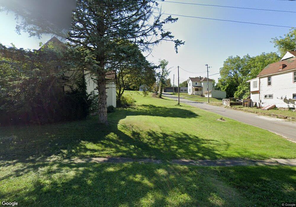
176 Crouse St Mansfield, OH 44902
Estimated Value: $34,669 - $284,000
--
Bed
1
Bath
--
Sq Ft
3,615
Sq Ft Lot
About This Home
This home is located at 176 Crouse St, Mansfield, OH 44902 and is currently estimated at $122,223. 176 Crouse St is a home located in Richland County with nearby schools including St. Peter's High School/Junior High, St. Peter's Elementary/Montessori School, and Discovery School.
Ownership History
Date
Name
Owned For
Owner Type
Purchase Details
Closed on
Mar 30, 2015
Sold by
State Of Ohio
Bought by
Richland County Land Reutilization Corpo
Current Estimated Value
Purchase Details
Closed on
May 10, 2005
Sold by
Rose Eddie Wayne and Rose Elizabeth E
Bought by
Harriger Paul and Harriger Penny
Purchase Details
Closed on
May 6, 2005
Sold by
Shelton Cathy and Shelton David
Bought by
Rose Eddie Wayne
Purchase Details
Closed on
Apr 1, 2005
Sold by
Rose John and Rose John H
Bought by
Rose Eddie Wayne
Purchase Details
Closed on
Sep 18, 2000
Sold by
Pfizenmayer Thomas D
Bought by
Jere Shanks
Purchase Details
Closed on
Jan 29, 1990
Create a Home Valuation Report for This Property
The Home Valuation Report is an in-depth analysis detailing your home's value as well as a comparison with similar homes in the area
Home Values in the Area
Average Home Value in this Area
Purchase History
| Date | Buyer | Sale Price | Title Company |
|---|---|---|---|
| Richland County Land Reutilization Corpo | -- | Attorney | |
| Harriger Paul | -- | -- | |
| Rose Eddie Wayne | -- | -- | |
| Rose Eddie Wayne | -- | -- | |
| Rose Eddie Wayne | -- | -- | |
| Jere Shanks | $15,000 | -- | |
| -- | $10,000 | -- |
Source: Public Records
Tax History Compared to Growth
Tax History
| Year | Tax Paid | Tax Assessment Tax Assessment Total Assessment is a certain percentage of the fair market value that is determined by local assessors to be the total taxable value of land and additions on the property. | Land | Improvement |
|---|---|---|---|---|
| 2024 | $12 | $250 | $250 | $0 |
| 2023 | $12 | $250 | $250 | $0 |
| 2022 | $12 | $210 | $210 | $0 |
| 2021 | $12 | $210 | $210 | $0 |
| 2020 | $12 | $210 | $210 | $0 |
| 2019 | $14 | $210 | $210 | $0 |
| 2018 | $14 | $0 | $0 | $0 |
| 2017 | $8 | $210 | $210 | $0 |
| 2016 | $3 | $40 | $40 | $0 |
| 2015 | $22 | $360 | $40 | $320 |
| 2014 | $22 | $360 | $40 | $320 |
| 2012 | -- | $6,800 | $2,440 | $4,360 |
Source: Public Records
Map
Nearby Homes
- 186 S Mulberry St
- 96 Glenwood Heights
- 37 W Arch St
- 212 S Main St
- 131 Sturges Ave
- 259 S Main St
- 116 W 2nd St
- 286 S Main St
- 188 S Franklin Ave
- 137 Lexington Ave
- 135 Wood St
- 120 Grover St
- 172 -172 1 2 Lexington Ave
- 257 Wood St
- 353 Sturges Ave
- 0 N Adams St
- 375 Sturges Ave
- 327 Hammond Ave
- 119 Carpenter Rd
- 394 S Main St
- 180 Crouse St
- 184 Crouse St
- 101 Spruce St
- 172 Crouse St
- 166 Crouse St
- 104 Glessner Ave
- 110 Spruce St
- 162 Crouse St
- 110 Glessner Ave
- 81 Ohio St
- 95 Glessner Ave Unit 97
- 116 Glessner Ave
- 174 S Mulberry St
- 79 Glessner Ave
- 115 Glessner Ave
- 196 S Mulberry St
- 145 Distl Ave
- 150 Crouse St
- 76 Ohio St
- 117 Glessner Ave