Estimated Value: $152,000
--
Bed
--
Bath
2,065
Sq Ft
$74/Sq Ft
Est. Value
About This Home
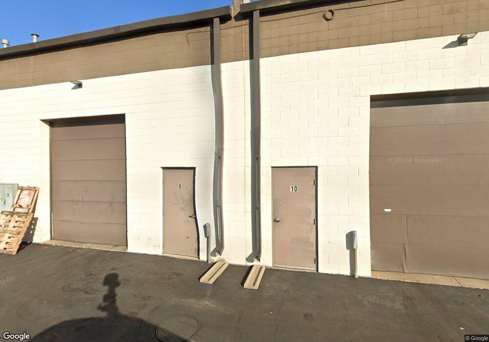
This home is located at 176 Detroit St Unit 17, Cary, IL 60013 and is currently priced at $152,000, approximately $73 per square foot. 176 Detroit St Unit 17 is a home located in McHenry County with nearby schools including Briargate Elementary School, Cary Jr High School, and Cary Grove High School.
Ownership History
Date
Name
Owned For
Owner Type
Purchase Details
Closed on
Oct 19, 2009
Sold by
Citizens Community Bank Of Illinois
Bought by
Oak International Llc
Current Estimated Value
Purchase Details
Closed on
Jun 19, 2009
Sold by
Mass Media Inc
Bought by
Citizens Community Bank Of Illinois
Purchase Details
Closed on
Oct 7, 2003
Sold by
Cardunal Savings Bank Fsb
Bought by
Mass Media Inc
Home Financials for this Owner
Home Financials are based on the most recent Mortgage that was taken out on this home.
Original Mortgage
$118,000
Interest Rate
6%
Mortgage Type
Commercial
Create a Home Valuation Report for This Property
The Home Valuation Report is an in-depth analysis detailing your home's value as well as a comparison with similar homes in the area
Home Values in the Area
Average Home Value in this Area
Purchase History
| Date | Buyer | Sale Price | Title Company |
|---|---|---|---|
| Oak International Llc | $140,000 | Chicago Title | |
| Citizens Community Bank Of Illinois | -- | None Available | |
| Mass Media Inc | $105,500 | Ticor |
Source: Public Records
Mortgage History
| Date | Status | Borrower | Loan Amount |
|---|---|---|---|
| Previous Owner | Mass Media Inc | $118,000 |
Source: Public Records
Tax History Compared to Growth
Tax History
| Year | Tax Paid | Tax Assessment Tax Assessment Total Assessment is a certain percentage of the fair market value that is determined by local assessors to be the total taxable value of land and additions on the property. | Land | Improvement |
|---|---|---|---|---|
| 2024 | $5,811 | $68,998 | $8,738 | $60,260 |
| 2023 | $5,712 | $61,710 | $7,815 | $53,895 |
| 2022 | $5,215 | $55,695 | $7,053 | $48,642 |
| 2021 | $4,993 | $51,887 | $6,571 | $45,316 |
| 2020 | $4,856 | $50,050 | $6,338 | $43,712 |
| 2019 | $4,775 | $47,904 | $6,066 | $41,838 |
| 2018 | $4,528 | $44,253 | $5,604 | $38,649 |
| 2017 | $4,462 | $41,689 | $5,279 | $36,410 |
| 2016 | $4,452 | $39,100 | $4,951 | $34,149 |
| 2013 | -- | $32,830 | $4,619 | $28,211 |
Source: Public Records
Map
Nearby Homes
- 2016 Grove Ln
- 2108 Beach Dr
- 215 S Northwest Hwy
- 101 Beachway Dr
- 208 S River Rd
- 341 Cold Spring St
- 331 Cold Spring St
- 321 Cold Spring St
- 1200 Hillcrest Ave
- 1221 Lincoln Ave
- 209 Gladys Ave
- 1006 Pine St
- 111 Grace Ln
- 124 E Main St Unit 2-3
- 422 Lincoln Ave Unit A
- 400 Crestview Rd
- 60 S Seebert St
- 305 Pearl St
- 326 Alicia Dr
- 727 Old Hunt Rd
- 176 Detroit St Unit 13
- 176 Detroit St Unit 3
- 176 Detroit St Unit 4
- 176 Detroit St Unit 6
- 176 Detroit St Unit 5
- 176 Detroit St Unit 10
- 176 Detroit St Unit 1
- 176 Detroit St Unit 11
- 176 Detroit St Unit 18
- 180 Detroit St Unit C
- 180 Detroit St
- 80 Detroit St Unit 102
- 60 Detroit St Unit B-D
- 60 Detroit St Unit E+F
- 60 Detroit St Unit B-C-E
- 60 Detroit St Unit C
- 100 Detroit St Unit 105-106
- 100 Detroit St Unit 104
- 100 Detroit St Unit 102
- 100 Detroit St Unit 101