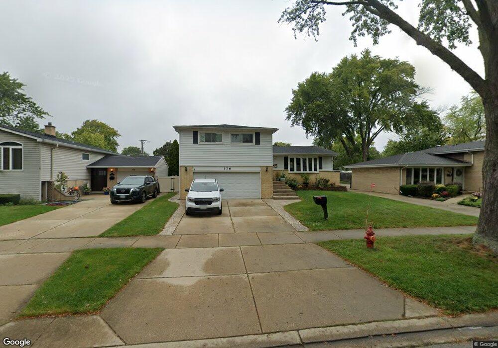
176 Dulles Rd Des Plaines, IL 60016
Estimated Value: $451,490 - $501,000
4
Beds
3
Baths
1,595
Sq Ft
$302/Sq Ft
Est. Value
About This Home
This home is located at 176 Dulles Rd, Des Plaines, IL 60016 and is currently estimated at $481,873, approximately $302 per square foot. 176 Dulles Rd is a home located in Cook County with nearby schools including Brentwood Elementary School, Friendship Jr High School, and Elk Grove High School.
Ownership History
Date
Name
Owned For
Owner Type
Purchase Details
Closed on
Jun 1, 1996
Sold by
Hall Dorothy J
Bought by
Gandhi Mukesh P and Gandhi Falguni M
Current Estimated Value
Purchase Details
Closed on
Jun 4, 1990
Sold by
American National Bank
Bought by
Hall Dorothy J
Create a Home Valuation Report for This Property
The Home Valuation Report is an in-depth analysis detailing your home's value as well as a comparison with similar homes in the area
Home Values in the Area
Average Home Value in this Area
Purchase History
| Date | Buyer | Sale Price | Title Company |
|---|---|---|---|
| Gandhi Mukesh P | $185,000 | -- | |
| Hall Dorothy J | -- | -- |
Source: Public Records
Tax History Compared to Growth
Tax History
| Year | Tax Paid | Tax Assessment Tax Assessment Total Assessment is a certain percentage of the fair market value that is determined by local assessors to be the total taxable value of land and additions on the property. | Land | Improvement |
|---|---|---|---|---|
| 2024 | $7,406 | $32,545 | $6,754 | $25,791 |
| 2023 | $7,055 | $32,545 | $6,754 | $25,791 |
| 2022 | $7,055 | $32,545 | $6,754 | $25,791 |
| 2021 | $5,716 | $23,904 | $4,502 | $19,402 |
| 2020 | $5,653 | $23,904 | $4,502 | $19,402 |
| 2019 | $5,719 | $26,561 | $4,502 | $22,059 |
| 2018 | $5,889 | $24,507 | $3,752 | $20,755 |
| 2017 | $5,798 | $24,507 | $3,752 | $20,755 |
| 2016 | $5,981 | $25,667 | $3,752 | $21,915 |
| 2015 | $6,281 | $25,416 | $3,376 | $22,040 |
| 2014 | $6,225 | $25,416 | $3,376 | $22,040 |
| 2013 | $6,077 | $25,416 | $3,376 | $22,040 |
Source: Public Records
Map
Nearby Homes
- 900 E Golfview Dr
- 356 W Millers Rd
- 47 S Josephine Ct
- 266 Columbia Ave
- 147 Lance Dr
- 681 S Mount Prospect Rd
- 301 Lance Dr
- 866 Clark Ln
- 474 E Washington St
- 913 Ingram Place
- 103 E Berkshire Ln
- 479 Munroe Cir S
- 508 Crestwood Dr
- 434 E Thacker St
- 543 Columbia Ave
- 321 Woodbridge St
- 706 E Shabonee Trail
- 725 W Dempster St Unit 101
- 520 E Thacker St
- 549 E Lincoln St Unit 549
- 184 Dulles Rd
- 168 Dulles Rd Unit 2
- 192 Dulles Rd
- 414 Wilkins Dr
- 181 Michael Rd
- 173 Michael Rd
- 189 Michael Rd
- 196 Dulles Rd
- 384 Wilkins Dr Unit 1
- 171 Dulles Rd
- 179 Dulles Rd
- 163 Dulles Rd
- 195 Michael Rd
- 187 Dulles Rd
- 420 Wilkins Dr
- 415 Wilkins Dr
- 200 Dulles Rd
- 195 Dulles Rd
- 205 Michael Rd
- 395 Wilkins Dr