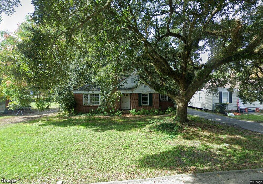
176 Dunn Ave Mobile, AL 36606
Midtown Mobile NeighborhoodEstimated Value: $75,129 - $134,000
Studio
1
Bath
969
Sq Ft
$104/Sq Ft
Est. Value
About This Home
This home is located at 176 Dunn Ave, Mobile, AL 36606 and is currently estimated at $100,782, approximately $104 per square foot. 176 Dunn Ave is a home located in Mobile County with nearby schools including Westlawn Elementary School, Booker T. Washington Middle School, and Murphy High School.
Ownership History
Date
Name
Owned For
Owner Type
Purchase Details
Closed on
Mar 12, 2024
Sold by
State Of Alabama
Bought by
Austal Usa Llc
Current Estimated Value
Purchase Details
Closed on
Apr 14, 2005
Sold by
Webb Shirley M
Bought by
Freeman Cinda Lou
Home Financials for this Owner
Home Financials are based on the most recent Mortgage that was taken out on this home.
Original Mortgage
$57,008
Interest Rate
9.2%
Mortgage Type
Unknown
Create a Home Valuation Report for This Property
The Home Valuation Report is an in-depth analysis detailing your home's value as well as a comparison with similar homes in the area
Home Values in the Area
Average Home Value in this Area
Purchase History
| Date | Buyer | Sale Price | Title Company |
|---|---|---|---|
| Austal Usa Llc | $9,219,500 | None Listed On Document | |
| Freeman Cinda Lou | -- | Surety Land Title Inc |
Source: Public Records
Mortgage History
| Date | Status | Borrower | Loan Amount |
|---|---|---|---|
| Previous Owner | Freeman Cinda Lou | $57,008 |
Source: Public Records
Tax History
| Year | Tax Paid | Tax Assessment Tax Assessment Total Assessment is a certain percentage of the fair market value that is determined by local assessors to be the total taxable value of land and additions on the property. | Land | Improvement |
|---|---|---|---|---|
| 2025 | $715 | $11,100 | $3,000 | $8,100 |
| 2024 | $715 | $10,620 | $2,800 | $7,820 |
| 2023 | $584 | $9,200 | $2,640 | $6,560 |
| 2022 | $538 | $8,480 | $2,200 | $6,280 |
| 2021 | $538 | $8,480 | $2,200 | $6,280 |
| 2020 | $538 | $8,480 | $2,200 | $6,280 |
| 2019 | $612 | $9,640 | $0 | $0 |
| 2018 | $612 | $9,640 | $0 | $0 |
| 2017 | $240 | $4,840 | $0 | $0 |
| 2016 | $284 | $5,520 | $0 | $0 |
| 2013 | -- | $6,740 | $0 | $0 |
Source: Public Records
Map
Nearby Homes
- 2851 Potter Dr
- 162 Glenn Ave
- 2852 Thornhill Dr
- 2858 Thornhill Dr
- 2808 Emogene St
- 2715 Briley St
- 2713 Briley St
- 2905 S Sherwood Dr
- 2867 Thornhill Dr
- 178 Rhea Ave
- 341 S Sage Ave
- 50 Maury Dr
- 2757 S Sherwood Dr
- 2663 Foreman Cir
- 2667 Emogene St
- 2850 Exter Dr
- 2806 Exter Dr
- 2756 Jennings Dr
- 2656 Foreman Cir
- 32 Sherwood Dr
Your Personal Tour Guide
Ask me questions while you tour the home.