176 Herndon Rd Herndon, PA 17830
Estimated Value: $211,000 - $330,804
--
Bed
--
Bath
--
Sq Ft
4.55
Acres
About This Home
This home is located at 176 Herndon Rd, Herndon, PA 17830 and is currently estimated at $269,201. 176 Herndon Rd is a home located in Northumberland County with nearby schools including Line Mountain Elementary School, Line Mountain Middle School, and Line Mountain Junior/Senior High School.
Ownership History
Date
Name
Owned For
Owner Type
Purchase Details
Closed on
Oct 13, 2016
Sold by
Delgado Adrian and Delgado Connie L
Bought by
Miller Phillip A and Miller Kathleen E
Current Estimated Value
Home Financials for this Owner
Home Financials are based on the most recent Mortgage that was taken out on this home.
Original Mortgage
$186,500
Outstanding Balance
$149,609
Interest Rate
3.48%
Mortgage Type
VA
Estimated Equity
$119,592
Purchase Details
Closed on
May 31, 2007
Sold by
Henry Eric and Henry Valerie A
Bought by
Delgado Adrian and Delgado Connie L
Home Financials for this Owner
Home Financials are based on the most recent Mortgage that was taken out on this home.
Original Mortgage
$40,000
Interest Rate
6.17%
Mortgage Type
New Conventional
Create a Home Valuation Report for This Property
The Home Valuation Report is an in-depth analysis detailing your home's value as well as a comparison with similar homes in the area
Home Values in the Area
Average Home Value in this Area
Purchase History
| Date | Buyer | Sale Price | Title Company |
|---|---|---|---|
| Miller Phillip A | $186,500 | None Available | |
| Delgado Adrian | $155,000 | None Available |
Source: Public Records
Mortgage History
| Date | Status | Borrower | Loan Amount |
|---|---|---|---|
| Open | Miller Phillip A | $186,500 | |
| Previous Owner | Delgado Adrian | $40,000 |
Source: Public Records
Tax History Compared to Growth
Tax History
| Year | Tax Paid | Tax Assessment Tax Assessment Total Assessment is a certain percentage of the fair market value that is determined by local assessors to be the total taxable value of land and additions on the property. | Land | Improvement |
|---|---|---|---|---|
| 2025 | $2,854 | $23,940 | $3,030 | $20,910 |
| 2024 | $2,734 | $23,940 | $3,030 | $20,910 |
| 2023 | $2,734 | $23,940 | $3,030 | $20,910 |
| 2022 | $2,734 | $23,940 | $3,030 | $20,910 |
| 2021 | $2,734 | $23,940 | $3,030 | $20,910 |
| 2020 | $2,734 | $23,940 | $3,030 | $20,910 |
| 2019 | $2,659 | $23,940 | $3,030 | $20,910 |
| 2018 | $2,601 | $23,940 | $3,030 | $20,910 |
| 2017 | $2,460 | $23,940 | $3,030 | $20,910 |
| 2016 | -- | $23,940 | $3,030 | $20,910 |
| 2015 | -- | $23,940 | $3,030 | $20,910 |
| 2014 | -- | $23,940 | $3,030 | $20,910 |
Source: Public Records
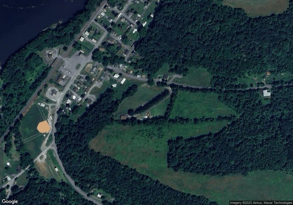
Map
Nearby Homes
- 369 S Main St
- 344 S Main St
- 132 4th St
- 1985 Main St
- 1894 N Main St
- 136 Camp Meeting Cir
- 703 Dauva Luch Rd
- 0 Roosters Rd
- 4185 Pennsylvania 225
- 761 Small Cut Rd
- 349 River Rd
- 1666 Urban Rd
- 272 River Rd
- 252 River Rd
- 114 N Pine Alley
- 434 Winding Hollow Rd
- 387 Neitz Valley Rd
- 0 Neitz Valley Rd
- 6888 State Route 225
- 0 Market St Unit PASY2002452