176 Hudson Dr Strang, OK 74367
Estimated Value: $140,803 - $312,000
3
Beds
2
Baths
2,092
Sq Ft
$116/Sq Ft
Est. Value
About This Home
This home is located at 176 Hudson Dr, Strang, OK 74367 and is currently estimated at $242,451, approximately $115 per square foot. 176 Hudson Dr is a home located in Mayes County with nearby schools including Bernita Hughes Elementary School, Adair Middle School, and Adair High School.
Ownership History
Date
Name
Owned For
Owner Type
Purchase Details
Closed on
May 6, 2019
Sold by
Wilmington Savings Fund Society Fsb
Bought by
Gilpin William
Current Estimated Value
Purchase Details
Closed on
Jul 26, 2005
Sold by
Crumm Bobby D and Crumm Corriene L
Bought by
Smith Earnest E and Smith Glenda L
Purchase Details
Closed on
Jul 28, 2003
Sold by
Bank One Na
Bought by
Crumm Bobby
Purchase Details
Closed on
Oct 31, 2002
Sold by
Deloughary Brian
Bought by
Bank One, Na
Purchase Details
Closed on
Feb 16, 1999
Sold by
Thompson Charles
Bought by
Deloughary Brian
Create a Home Valuation Report for This Property
The Home Valuation Report is an in-depth analysis detailing your home's value as well as a comparison with similar homes in the area
Home Values in the Area
Average Home Value in this Area
Purchase History
| Date | Buyer | Sale Price | Title Company |
|---|---|---|---|
| Gilpin William | $16,150 | First American Title | |
| Smith Earnest E | $4,000 | None Available | |
| Crumm Bobby | $36,500 | -- | |
| Bank One, Na | -- | -- | |
| Deloughary Brian | $17,000 | -- |
Source: Public Records
Tax History Compared to Growth
Tax History
| Year | Tax Paid | Tax Assessment Tax Assessment Total Assessment is a certain percentage of the fair market value that is determined by local assessors to be the total taxable value of land and additions on the property. | Land | Improvement |
|---|---|---|---|---|
| 2025 | $759 | $8,823 | $1,400 | $7,423 |
| 2023 | $737 | $8,317 | $1,400 | $6,917 |
| 2022 | $622 | $8,075 | $1,400 | $6,675 |
| 2021 | $518 | $7,855 | $1,400 | $6,455 |
| 2020 | $683 | $7,626 | $1,400 | $6,226 |
| 2019 | $867 | $9,573 | $3,503 | $6,070 |
| 2018 | $823 | $9,118 | $3,150 | $5,968 |
| 2017 | $619 | $7,099 | $7,056 | $43 |
| 2016 | $618 | $7,056 | $7,056 | $0 |
| 2015 | $1,356 | $16,382 | $6,365 | $10,017 |
| 2014 | $1,314 | $15,904 | $6,179 | $9,725 |
Source: Public Records
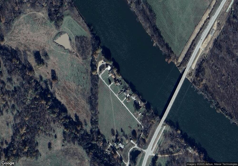
Map
Nearby Homes
- 116 Hudson Dr
- 9212 N 447 Rd
- 10010 N Highway 82
- 1 Maple Brook Ln
- 2 Maple Brook Ln
- 362 W Quapah Ave
- 511 S Second St
- 163 W Cheyenne Ave
- 9207 N 447 Rd
- 137 W Cheyenne Ave
- 1120 Coleman
- 440 Murray Ln
- Unassigned W Broadway Ave Unit 7, 8, 9 &10
- 264 Third and Church St
- 0 Lakeview Dr Unit 2544578
- 444561 Robin Dr
- 0 Tbd Blue Bird Ln
- 15152 N Hwy 82
- 444596 E Cardinal Ln
- 870 Morrow Dr
- 202 Hudson Dr
- 212 Hudson Dr
- 5 Hudson Dr
- 7 Hudson Dr
- 1 Hudson Dr
- 15 Hudson Dr
- 140 Meadow Dr
- 16358 S Highway 82
- 15941 S Highway 82
- 95 Meadow Ln
- 0 N State Highway 82 Hwy Unit 2142014
- 0 N State Highway 82 Hwy Unit 2142013
- 0 N State Highway 82 Hwy Unit 2142012
- 0 N State Highway 82 Hwy Unit 2142010
- 9211 N 446 Rd
- 9211 N 4460 Rd
- 9211 N 446
- 9596 N 447 Rd
- 9052 N 446
- 00000 N 447