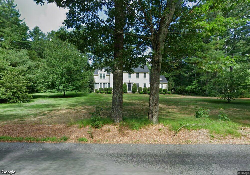
176 King Phillips Path Duxbury, MA 02332
Estimated Value: $965,592 - $1,258,000
4
Beds
3
Baths
2,568
Sq Ft
$420/Sq Ft
Est. Value
About This Home
This home is located at 176 King Phillips Path, Duxbury, MA 02332 and is currently estimated at $1,077,898, approximately $419 per square foot. 176 King Phillips Path is a home located in Plymouth County with nearby schools including Chandler Elementary School, Alden School, and Duxbury Middle School.
Ownership History
Date
Name
Owned For
Owner Type
Purchase Details
Closed on
Sep 30, 1998
Sold by
Harriman Nathan and Harriman Kim K
Bought by
Harrington Robert M and Harrington Heidi
Current Estimated Value
Purchase Details
Closed on
Dec 1, 1997
Sold by
Dowling Richard E and Dowling Cheryl D
Bought by
Harriman Nathan and Harriman Kim K
Purchase Details
Closed on
Mar 25, 1992
Sold by
Gourley William G and Gourley Jean D
Bought by
Dowling Richard E
Create a Home Valuation Report for This Property
The Home Valuation Report is an in-depth analysis detailing your home's value as well as a comparison with similar homes in the area
Home Values in the Area
Average Home Value in this Area
Purchase History
| Date | Buyer | Sale Price | Title Company |
|---|---|---|---|
| Harrington Robert M | $295,000 | -- | |
| Harriman Nathan | $245,000 | -- | |
| Dowling Richard E | $190,000 | -- |
Source: Public Records
Mortgage History
| Date | Status | Borrower | Loan Amount |
|---|---|---|---|
| Open | Dowling Richard E | $171,000 | |
| Closed | Dowling Richard E | $218,500 |
Source: Public Records
Tax History Compared to Growth
Tax History
| Year | Tax Paid | Tax Assessment Tax Assessment Total Assessment is a certain percentage of the fair market value that is determined by local assessors to be the total taxable value of land and additions on the property. | Land | Improvement |
|---|---|---|---|---|
| 2025 | $8,586 | $846,700 | $350,700 | $496,000 |
| 2024 | $8,438 | $838,800 | $350,700 | $488,100 |
| 2023 | $7,879 | $737,000 | $364,700 | $372,300 |
| 2022 | $8,242 | $641,900 | $300,600 | $341,300 |
| 2021 | $8,113 | $560,300 | $250,500 | $309,800 |
| 2020 | $8,268 | $564,000 | $252,500 | $311,500 |
| 2019 | $7,716 | $525,600 | $210,400 | $315,200 |
| 2018 | $7,663 | $505,500 | $195,600 | $309,900 |
| 2017 | $7,510 | $484,200 | $182,700 | $301,500 |
| 2016 | $7,529 | $484,200 | $182,700 | $301,500 |
| 2015 | $6,572 | $421,300 | $159,500 | $261,800 |
Source: Public Records
Map
Nearby Homes
- 18 King Phillips Path
- 600 Summer St Unit 7
- 600 Summer St Unit 6
- 45 Elis Ln
- 346 Summer St
- 225 Lincoln St Unit A3
- 110 Keene St
- 16 Fieldstone Farm Way
- 15 Fieldstone Farm Way Unit 8
- 131 East St
- 0 East St
- 512 Lincoln St
- 45 Summer St
- 249 High St
- 26 Winter St
- 202 Birch St
- 0 Kingstown Way
- 47 Teakettle Ln
- 62 Teakettle Ln
- 61 Chapel St
- 18 Stonegate Ln
- 175 King Phillips Path
- 158 King Phillips Path
- 191 King Phillips Path
- 157 King Phillips Path
- 19 Stonegate Ln
- 30 Stonegate Ln
- 199 King Phillips Path
- 27 Stonegate Ln
- 45 Lewis Farm Rd
- 147 King Phillips Path
- 50 Lewis Farm Rd
- "A" Indian Cove Rd
- LOT 17 Tussock Brook Rd
- LOT 12 Rogers Way
- LOT 1 Birch & Lake Shore Dri
- 213 King Phillips Path
- 42 Stonegate Ln
- 35 Lewis Farm Rd
- 40 Lewis Farm Rd