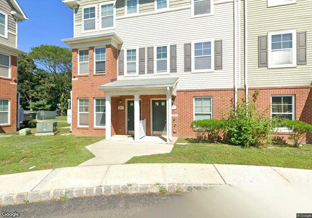
176 Liberty St Long Branch, NJ 07740
Estimated Value: $356,000 - $509,000
3
Beds
2
Baths
1,066
Sq Ft
$417/Sq Ft
Est. Value
About This Home
This home is located at 176 Liberty St, Long Branch, NJ 07740 and is currently estimated at $444,710, approximately $417 per square foot. 176 Liberty St is a home located in Monmouth County with nearby schools including Long Branch High School and Holy Trinity School.
Ownership History
Date
Name
Owned For
Owner Type
Purchase Details
Closed on
May 9, 2018
Sold by
Monmouth County Sheriff
Bought by
176 Liberty Llc
Current Estimated Value
Purchase Details
Closed on
Jul 24, 2012
Sold by
Moreno Jefferson
Bought by
Moreno Freddy
Purchase Details
Closed on
Dec 18, 2006
Sold by
Sanchez Cresencia
Bought by
Moreno Freddy and Moreno Jefferson
Home Financials for this Owner
Home Financials are based on the most recent Mortgage that was taken out on this home.
Original Mortgage
$149,350
Interest Rate
6.24%
Mortgage Type
New Conventional
Create a Home Valuation Report for This Property
The Home Valuation Report is an in-depth analysis detailing your home's value as well as a comparison with similar homes in the area
Home Values in the Area
Average Home Value in this Area
Purchase History
| Date | Buyer | Sale Price | Title Company |
|---|---|---|---|
| 176 Liberty Llc | $105,000 | None Available | |
| Moreno Freddy | -- | None Available | |
| Moreno Freddy | $149,350 | -- |
Source: Public Records
Mortgage History
| Date | Status | Borrower | Loan Amount |
|---|---|---|---|
| Previous Owner | Moreno Freddy | $149,350 |
Source: Public Records
Tax History Compared to Growth
Tax History
| Year | Tax Paid | Tax Assessment Tax Assessment Total Assessment is a certain percentage of the fair market value that is determined by local assessors to be the total taxable value of land and additions on the property. | Land | Improvement |
|---|---|---|---|---|
| 2025 | $4,837 | $372,100 | $178,700 | $193,400 |
| 2024 | $4,365 | $314,700 | $129,700 | $185,000 |
| 2023 | $4,365 | $281,100 | $113,700 | $167,400 |
| 2022 | $3,464 | $221,200 | $73,700 | $147,500 |
| 2021 | $3,464 | $173,100 | $35,200 | $137,900 |
| 2020 | $3,501 | $167,500 | $30,400 | $137,100 |
| 2019 | $3,403 | $161,900 | $31,200 | $130,700 |
| 2018 | $3,256 | $154,000 | $28,000 | $126,000 |
| 2017 | $3,092 | $150,000 | $26,400 | $123,600 |
| 2016 | $2,983 | $147,600 | $27,200 | $120,400 |
| 2015 | $2,730 | $122,600 | $32,000 | $90,600 |
| 2014 | $2,561 | $121,200 | $40,800 | $80,400 |
Source: Public Records
Map
Nearby Homes
- 40 University Dr
- 211 Rockwell Ave
- 151 N 5th Ave
- 184 N 5th Ave
- 148 Sixth Ave
- 231 Long Branch Ave
- 40 Seaview Ave Unit A
- 188 Chelton Ave
- 40 N 5th Ave
- 172 Chelton Ave
- 138 Rosewood Ave
- 323 Florence Ave
- 190 Spruce St Unit 4
- 401 Joline Ave
- 78 Ocean Terrace
- 33 Cooper Ave Unit 213
- 33 Cooper Ave Unit 410
- 22 Cooper Ave Unit 113
- 22 Cooper Ave Unit 309
- 22 Cooper Ave Unit 110
- 180 Liberty St
- 184 Liberty St
- 172 Liberty St
- 188 Liberty St
- 170 Liberty St
- 194 Liberty St
- 17 Eastwood Ave
- 164 Liberty St
- 198 Liberty St
- 198 Liberty St Unit WINTER
- 15 Eastwood Ave
- 160 Liberty St
- 13 Eastwood Ave
- 202 Liberty St
- 156 Liberty St
- 224 Joline Ave
- 173 Liberty St
- 222 Joline Ave
- 187 Liberty St
- 167 Liberty St