176 N 600 W Valparaiso, IN 46385
Porter County NeighborhoodEstimated Value: $349,000 - $658,000
3
Beds
3
Baths
2,422
Sq Ft
$221/Sq Ft
Est. Value
About This Home
This home is located at 176 N 600 W, Valparaiso, IN 46385 and is currently estimated at $536,090, approximately $221 per square foot. 176 N 600 W is a home located in Porter County with nearby schools including Union Township Middle School and Wheeler High School.
Ownership History
Date
Name
Owned For
Owner Type
Purchase Details
Closed on
Oct 20, 2008
Sold by
Gratkowski David
Bought by
Gratkowski David and Gratkowski Lisa
Current Estimated Value
Purchase Details
Closed on
Aug 18, 2008
Sold by
Dykstra William and Gaylewind Homes Ii
Bought by
Gratkowski David
Home Financials for this Owner
Home Financials are based on the most recent Mortgage that was taken out on this home.
Original Mortgage
$360,000
Outstanding Balance
$236,046
Interest Rate
6.31%
Mortgage Type
Purchase Money Mortgage
Estimated Equity
$300,044
Purchase Details
Closed on
Jan 24, 2008
Sold by
Kaminski Margaret A and Battaglia Magararet
Bought by
Grimes Kathryn S
Home Financials for this Owner
Home Financials are based on the most recent Mortgage that was taken out on this home.
Original Mortgage
$82,400
Interest Rate
6.11%
Mortgage Type
Purchase Money Mortgage
Create a Home Valuation Report for This Property
The Home Valuation Report is an in-depth analysis detailing your home's value as well as a comparison with similar homes in the area
Home Values in the Area
Average Home Value in this Area
Purchase History
| Date | Buyer | Sale Price | Title Company |
|---|---|---|---|
| Gratkowski David | -- | None Available | |
| Gratkowski David | -- | Ticor Title Insurance | |
| Dykstra William | -- | Ticor Title Insurance | |
| Grimes Kathryn S | -- | Community Title Company |
Source: Public Records
Mortgage History
| Date | Status | Borrower | Loan Amount |
|---|---|---|---|
| Open | Gratkowski David | $360,000 | |
| Previous Owner | Grimes Kathryn S | $82,400 |
Source: Public Records
Tax History Compared to Growth
Tax History
| Year | Tax Paid | Tax Assessment Tax Assessment Total Assessment is a certain percentage of the fair market value that is determined by local assessors to be the total taxable value of land and additions on the property. | Land | Improvement |
|---|---|---|---|---|
| 2024 | $4,281 | $550,800 | $67,400 | $483,400 |
| 2023 | $4,128 | $495,400 | $58,900 | $436,500 |
| 2022 | $3,988 | $460,200 | $58,900 | $401,300 |
| 2021 | $3,556 | $398,700 | $58,900 | $339,800 |
| 2020 | $3,449 | $377,300 | $51,500 | $325,800 |
| 2019 | $3,190 | $345,200 | $51,500 | $293,700 |
| 2018 | $3,352 | $333,700 | $51,500 | $282,200 |
| 2017 | $3,004 | $330,900 | $51,500 | $279,400 |
| 2016 | $2,986 | $328,400 | $54,300 | $274,100 |
| 2014 | $2,803 | $298,200 | $50,800 | $247,400 |
| 2013 | -- | $310,800 | $56,200 | $254,600 |
Source: Public Records
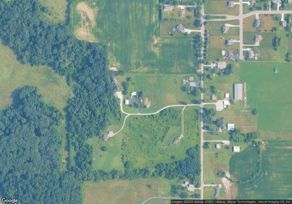
Map
Nearby Homes
- 242 N 600 W
- 0 Freedom Lake Ct N
- 105 N 687 W
- 220 N 500 W
- 536 W Us Highway 30
- 84 Liberty Lakes Dr
- 194 Wexford Rd
- 148 Timber Point Ct
- 528 W 100 N
- 143 N 500 W
- 720 W 100 N
- 38-1 N 600 W
- 459 Amhurst Rd
- 464 Roxbury Rd
- 460 Roxbury Rd
- 454 Roxbury Rd
- 459 Surrey Hill Ln
- 71 N 500 W
- 447 Scarborough Rd
- 175 Shorewood Dr
- 178 N 600 W
- 172 N 600 W
- 170 N 600 W
- 183 N 600 W
- 190 N 600 W
- 173 N 600 W
- 171 N 600 W
- 160 N 600 W
- 184 Pheasant Hills Ct
- 184 Pheasant Hills Ct
- 192 N 600 W
- 169 N 600 W
- 186 Pheasant Hills Ct
- 186 Pheasant Hills Ct
- 188 Pheasant Hills Ct
- 188 Pheasant Hills Ct
- 159 N 600 W
- 158 N 600 W
- 185 Pheasant Hills Ct
- 185 Pheasant Hills Ct