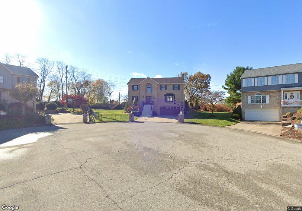
176 Parkside Dr West Mifflin, PA 15122
Estimated Value: $390,000 - $512,000
4
Beds
2
Baths
2,696
Sq Ft
$168/Sq Ft
Est. Value
About This Home
This home is located at 176 Parkside Dr, West Mifflin, PA 15122 and is currently estimated at $453,559, approximately $168 per square foot. 176 Parkside Dr is a home located in Allegheny County with nearby schools including West Mifflin Area High School, St. Therese School, and Walnut Grove Christian School.
Ownership History
Date
Name
Owned For
Owner Type
Purchase Details
Closed on
Jun 12, 2006
Sold by
Martonik Richard A
Bought by
Tomasic Brian W
Current Estimated Value
Home Financials for this Owner
Home Financials are based on the most recent Mortgage that was taken out on this home.
Original Mortgage
$167,100
Outstanding Balance
$98,516
Interest Rate
6.62%
Mortgage Type
New Conventional
Estimated Equity
$355,043
Create a Home Valuation Report for This Property
The Home Valuation Report is an in-depth analysis detailing your home's value as well as a comparison with similar homes in the area
Home Values in the Area
Average Home Value in this Area
Purchase History
| Date | Buyer | Sale Price | Title Company |
|---|---|---|---|
| Tomasic Brian W | $269,100 | -- |
Source: Public Records
Mortgage History
| Date | Status | Borrower | Loan Amount |
|---|---|---|---|
| Open | Tomasic Brian W | $167,100 |
Source: Public Records
Tax History Compared to Growth
Tax History
| Year | Tax Paid | Tax Assessment Tax Assessment Total Assessment is a certain percentage of the fair market value that is determined by local assessors to be the total taxable value of land and additions on the property. | Land | Improvement |
|---|---|---|---|---|
| 2025 | $12,137 | $274,200 | $30,900 | $243,300 |
| 2024 | $12,137 | $274,200 | $30,900 | $243,300 |
| 2023 | $11,977 | $274,200 | $30,900 | $243,300 |
| 2022 | $11,628 | $274,200 | $30,900 | $243,300 |
| 2021 | $10,825 | $274,200 | $30,900 | $243,300 |
| 2020 | $11,196 | $274,200 | $30,900 | $243,300 |
| 2019 | $11,050 | $274,200 | $30,900 | $243,300 |
| 2018 | $1,297 | $274,200 | $30,900 | $243,300 |
| 2017 | $10,175 | $274,200 | $30,900 | $243,300 |
| 2016 | $1,297 | $274,200 | $30,900 | $243,300 |
| 2015 | $1,297 | $256,500 | $30,900 | $225,600 |
| 2014 | $9,434 | $256,500 | $30,900 | $225,600 |
Source: Public Records
Map
Nearby Homes
- 1323 Leaside Dr
- 5606 Century Ave
- 4803 Aspen St
- 5719 Keefe St
- 4829 Lougean Ave
- 4800 Brierly Dr W
- 1161 Cox Place
- 1204 Mifflin Rd
- 1222 Rodgers St
- 1835 Orchid Place
- 4647 W Run Rd
- 5838 Rodgers St
- 1141 Stock St
- 5920 Rodgers St
- 5354 Cox Ave
- 1105 Stock St
- 5937 Apdale St
- 437 Green St
- LOT 2 Muldowney Ave
- LOT 1 Muldowney Ave
- 179 Parkside Dr
- 175 Parkside Dr
- 168 Parkside Dr
- 171 Parkside Dr
- 1717 Mcbride St
- 1707 Mcbride St
- 1703 Mcbride St
- 1703 Mcbride St
- 1713 Mcbride St
- 167 Parkside Dr
- 35 Ashwood Court Dr
- 33 Ashwood Court Dr
- 1701 Mcbride St
- 163 Parkside Dr
- 4956 Aspen St
- 1647 Mcbride St
- 1393 Leaside Dr
- 1381 Leaside Dr
- 1385 Leaside Dr
- 1708 Mcbride St