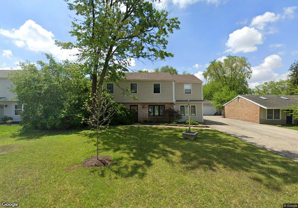
176 Queenswood Rd Bolingbrook, IL 60440
East Bolingbrook NeighborhoodEstimated Value: $334,000 - $376,000
3
Beds
2
Baths
2,064
Sq Ft
$168/Sq Ft
Est. Value
About This Home
This home is located at 176 Queenswood Rd, Bolingbrook, IL 60440 and is currently estimated at $347,775, approximately $168 per square foot. 176 Queenswood Rd is a home located in Will County with nearby schools including John R Tibbott Elementary School, Hubert H Humphrey Middle School, and Bolingbrook High School.
Ownership History
Date
Name
Owned For
Owner Type
Purchase Details
Closed on
Jun 19, 2000
Sold by
Fries Robert G and Fries Laurene T
Bought by
Ramos Margaret L
Current Estimated Value
Home Financials for this Owner
Home Financials are based on the most recent Mortgage that was taken out on this home.
Original Mortgage
$137,000
Outstanding Balance
$49,810
Interest Rate
8.66%
Mortgage Type
VA
Estimated Equity
$297,965
Create a Home Valuation Report for This Property
The Home Valuation Report is an in-depth analysis detailing your home's value as well as a comparison with similar homes in the area
Home Values in the Area
Average Home Value in this Area
Purchase History
| Date | Buyer | Sale Price | Title Company |
|---|---|---|---|
| Ramos Margaret L | $137,000 | -- |
Source: Public Records
Mortgage History
| Date | Status | Borrower | Loan Amount |
|---|---|---|---|
| Open | Ramos Margaret L | $137,000 |
Source: Public Records
Tax History Compared to Growth
Tax History
| Year | Tax Paid | Tax Assessment Tax Assessment Total Assessment is a certain percentage of the fair market value that is determined by local assessors to be the total taxable value of land and additions on the property. | Land | Improvement |
|---|---|---|---|---|
| 2024 | $7,124 | $106,285 | $19,575 | $86,710 |
| 2023 | $7,124 | $95,632 | $17,613 | $78,019 |
| 2022 | $7,188 | $86,217 | $15,879 | $70,338 |
| 2021 | $6,757 | $80,614 | $14,847 | $65,767 |
| 2020 | $7,026 | $77,963 | $14,359 | $63,604 |
| 2019 | $6,891 | $72,794 | $13,407 | $59,387 |
| 2018 | $6,332 | $66,966 | $12,333 | $54,633 |
| 2017 | $6,024 | $63,475 | $11,690 | $51,785 |
| 2016 | $5,595 | $58,100 | $10,700 | $47,400 |
| 2015 | $5,374 | $55,800 | $10,300 | $45,500 |
| 2014 | $5,374 | $53,100 | $9,800 | $43,300 |
| 2013 | $5,374 | $55,900 | $10,300 | $45,600 |
Source: Public Records
Map
Nearby Homes
- 564 White Oak Rd
- 520 White Oak Rd
- 144 N Pinecrest Rd
- 101 Seabury Rd
- 304 N Pinecrest Rd
- 308 Homewood Dr
- 157 Vernon Dr Unit 6
- 129 Oxford Rd Unit 5
- 220 N Ashbury Ave
- 208 S Pinecrest Rd
- 338 Stafford Way
- 113 Cedarwood Ave
- 325 Rockhurst Rd
- 168 Bedford Rd
- 316 Bedford Rd
- 451 Alcester Ct
- 255 Braemar Glen
- 308 Pacific Dr
- 219 Monterey Dr
- 220 Braemar Glen
- 178 Queenswood Rd
- 174 Queenswood Rd
- 554 White Oak Rd
- 180 Queenswood Rd
- 172 Queenswood Rd
- 556 White Oak Rd
- 552 White Oak Rd
- 558 White Oak Rd
- 550 White Oak Rd
- 177 Queenswood Rd
- 179 Queenswood Rd
- 175 Queenswood Rd
- 182 Queenswood Rd
- 170 Queenswood Rd
- 181 Queenswood Rd
- 560 White Oak Rd
- 548 White Oak Rd Unit 4
- 184 Queenswood Rd
- 168 Queenswood Rd
- 183 Queenswood Rd