176 Scraggy Neck Rd Bourne, MA 2532
Cataumet NeighborhoodEstimated Value: $1,028,000 - $14,602,643
1
Bed
1
Bath
526
Sq Ft
$12,113/Sq Ft
Est. Value
About This Home
This home is located at 176 Scraggy Neck Rd, Bourne, MA 2532 and is currently estimated at $6,371,548, approximately $12,113 per square foot. 176 Scraggy Neck Rd is a home located in Barnstable County with nearby schools including Bourne High School and Heritage Christian Academy.
Ownership History
Date
Name
Owned For
Owner Type
Purchase Details
Closed on
Nov 8, 2024
Sold by
Point Reyes T and Jacoby
Bought by
Long Point T and Bisson
Current Estimated Value
Purchase Details
Closed on
Dec 19, 2007
Sold by
Worcester Ft and Worcester
Bought by
Long Point T and Bisson
Create a Home Valuation Report for This Property
The Home Valuation Report is an in-depth analysis detailing your home's value as well as a comparison with similar homes in the area
Home Values in the Area
Average Home Value in this Area
Purchase History
| Date | Buyer | Sale Price | Title Company |
|---|---|---|---|
| Long Point T | -- | None Available | |
| Long Point T | -- | None Available | |
| Long Point T | $7,000,000 | -- | |
| Long Point T | $7,000,000 | -- |
Source: Public Records
Tax History Compared to Growth
Tax History
| Year | Tax Paid | Tax Assessment Tax Assessment Total Assessment is a certain percentage of the fair market value that is determined by local assessors to be the total taxable value of land and additions on the property. | Land | Improvement |
|---|---|---|---|---|
| 2025 | $27,710 | $3,548,000 | $3,492,200 | $55,800 |
| 2024 | $27,104 | $3,379,600 | $3,326,500 | $53,100 |
| 2023 | $26,340 | $2,989,800 | $2,942,800 | $47,000 |
| 2022 | $26,632 | $2,639,400 | $2,602,100 | $37,300 |
| 2021 | $32,470 | $3,014,900 | $2,980,900 | $34,000 |
| 2020 | $32,066 | $2,985,700 | $2,953,500 | $32,200 |
| 2019 | $31,361 | $2,983,900 | $2,953,500 | $30,400 |
| 2018 | $30,000 | $2,846,300 | $2,817,400 | $28,900 |
| 2017 | $29,020 | $2,817,500 | $2,791,100 | $26,400 |
| 2016 | $28,580 | $2,813,000 | $2,791,100 | $21,900 |
| 2015 | $28,327 | $2,813,000 | $2,791,100 | $21,900 |
Source: Public Records
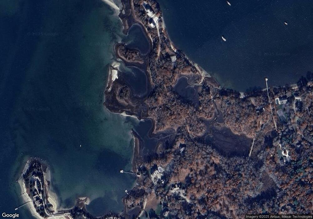
Map
Nearby Homes
- 75 Winsor Rd
- 10 Squeteague Harbor Rd
- 250 Scraggy Neck Rd
- 22 Nairn Rd
- 48 Red Brook Harbor Rd
- 3 Red Brook Pond Dr
- 1094 County Rd
- 31 Baxendale Rd
- 1234 Route 28a
- 48 Garnet Ave
- 1234 Route 28a
- 23 Wohelo Dr
- 171 Bellavista Dr
- 289 Old Main Rd
- 940 County Rd
- 89 Harbor Dr
- 34 Kenwood Rd
- 45 Kenwood Rd
- 24 Fiddlers Cove Rd
- 178 -180 Scraggy Neck Rd
- 180 Scraggy Neck Rd
- 178 Scraggy Neck Rd
- 18 Winsor Rd
- 178-180 Scraggy Neck Rd
- 168 Scraggy Neck Rd
- 172 Scraggy Neck Rd
- 25 Winsor Rd
- 25 Winsor Rd
- 25 Wolf Rd Unit Seasonal
- 7 Winsor Rd
- 17 Scotch Pine Rd
- 17 Scotch House Cove Rd
- 1 Winsor Rd
- 5 Winsor Rd
- 1 Catskill Rd
- 25 Winsor Rd
- 16 Scotch House Cove Rd
- 188 Scraggy Neck Rd
- 15 Scotch Pine Rd