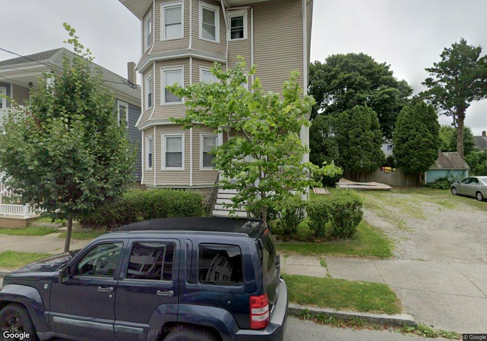
176 Shaw St Unit 178 New Bedford, MA 02745
Acushnet Station NeighborhoodEstimated Value: $653,000 - $752,000
3
Beds
1
Bath
1,198
Sq Ft
$582/Sq Ft
Est. Value
About This Home
This home is located at 176 Shaw St Unit 178, New Bedford, MA 02745 and is currently estimated at $696,710, approximately $581 per square foot. 176 Shaw St Unit 178 is a home located in Bristol County with nearby schools including Abraham Lincoln Elementary School, Normandin Middle School, and New Bedford High School.
Ownership History
Date
Name
Owned For
Owner Type
Purchase Details
Closed on
Nov 15, 2024
Sold by
Teixeira Ann M and Teixeira Joseph
Bought by
Alam Mohammed M
Current Estimated Value
Home Financials for this Owner
Home Financials are based on the most recent Mortgage that was taken out on this home.
Original Mortgage
$483,750
Outstanding Balance
$478,934
Interest Rate
6.12%
Mortgage Type
Purchase Money Mortgage
Estimated Equity
$217,776
Purchase Details
Closed on
Sep 4, 2024
Sold by
Teizeira Anne M
Bought by
Teixeira Ann M and Teixeira Joseph
Create a Home Valuation Report for This Property
The Home Valuation Report is an in-depth analysis detailing your home's value as well as a comparison with similar homes in the area
Home Values in the Area
Average Home Value in this Area
Purchase History
| Date | Buyer | Sale Price | Title Company |
|---|---|---|---|
| Alam Mohammed M | $645,000 | None Available | |
| Alam Mohammed M | $645,000 | None Available | |
| Teixeira Ann M | -- | None Available |
Source: Public Records
Mortgage History
| Date | Status | Borrower | Loan Amount |
|---|---|---|---|
| Open | Alam Mohammed M | $483,750 | |
| Closed | Alam Mohammed M | $483,750 |
Source: Public Records
Tax History Compared to Growth
Tax History
| Year | Tax Paid | Tax Assessment Tax Assessment Total Assessment is a certain percentage of the fair market value that is determined by local assessors to be the total taxable value of land and additions on the property. | Land | Improvement |
|---|---|---|---|---|
| 2025 | $6,784 | $599,800 | $107,600 | $492,200 |
| 2024 | $6,293 | $524,400 | $104,200 | $420,200 |
| 2023 | $5,893 | $412,400 | $87,500 | $324,900 |
| 2022 | $5,425 | $349,100 | $83,300 | $265,800 |
| 2021 | $5,296 | $339,700 | $83,300 | $256,400 |
| 2020 | $5,236 | $324,000 | $85,100 | $238,900 |
| 2019 | $4,516 | $274,200 | $85,100 | $189,100 |
| 2018 | $4,222 | $253,900 | $85,100 | $168,800 |
| 2017 | $3,730 | $223,500 | $78,100 | $145,400 |
| 2016 | $3,517 | $213,300 | $74,600 | $138,700 |
| 2015 | $3,280 | $208,500 | $74,600 | $133,900 |
| 2014 | $3,135 | $206,800 | $72,900 | $133,900 |
Source: Public Records
Map
Nearby Homes
- 1840 1846 Acushnet Ave
- 135-137 Query St
- 42 Princeton St
- 250-252 Shaw St
- 42 Query St
- 40 Glennon St Unit 42
- 162 Princeton St
- 113 Eugenia St
- 209-211 Eugenia St
- 208 Princeton St
- 128 Nash Rd
- 223 225 Prinston
- 228 Eugenia St
- 125 +135 Tinkham St
- 203-205 Tinkham St
- 11 Moynan St
- 18 Edison St
- 1566-1570 Acushnet Ave
- 263 Hersom St
- 301 Davis St
- 172 Shaw St Unit 174
- 186 Shaw St Unit 188
- 168-170 Shaw St
- 168 Shaw St Unit 170
- 103 Central Ave
- 34 Concord St
- 162 Shaw St
- 40 Concord St
- 28 Concord St
- 107 Central Ave
- 169 Shaw St Unit 171
- 26 Concord St
- 173 Shaw St Unit 175
- 165 Shaw St Unit 167
- 163 Shaw St
- 1837 Acushnet Ave
- 1847 Acushnet Ave
- 1843 Acushnet Ave
- 1839 Acushnet Ave
- 24 Concord St