176 Sherbert Rd Ashburnham, MA 01430
Estimated Value: $411,000 - $488,000
2
Beds
1
Bath
1,419
Sq Ft
$313/Sq Ft
Est. Value
About This Home
This home is located at 176 Sherbert Rd, Ashburnham, MA 01430 and is currently estimated at $444,343, approximately $313 per square foot. 176 Sherbert Rd is a home located in Worcester County with nearby schools including Oakmont Regional High School.
Create a Home Valuation Report for This Property
The Home Valuation Report is an in-depth analysis detailing your home's value as well as a comparison with similar homes in the area
Home Values in the Area
Average Home Value in this Area
Tax History
| Year | Tax Paid | Tax Assessment Tax Assessment Total Assessment is a certain percentage of the fair market value that is determined by local assessors to be the total taxable value of land and additions on the property. | Land | Improvement |
|---|---|---|---|---|
| 2025 | $6,333 | $425,900 | $120,400 | $305,500 |
| 2024 | $6,193 | $393,200 | $120,400 | $272,800 |
| 2023 | $5,812 | $351,200 | $120,400 | $230,800 |
| 2022 | $5,096 | $269,900 | $102,100 | $167,800 |
| 2021 | $8,911 | $233,400 | $102,100 | $131,300 |
| 2020 | $96 | $233,400 | $102,100 | $131,300 |
| 2019 | $4,668 | $207,000 | $96,300 | $110,700 |
| 2018 | $29,538 | $196,200 | $91,600 | $104,600 |
| 2017 | $4,578 | $199,300 | $98,600 | $100,700 |
| 2016 | $5,082 | $223,400 | $96,700 | $126,700 |
| 2015 | $5,006 | $224,700 | $96,700 | $128,000 |
Source: Public Records
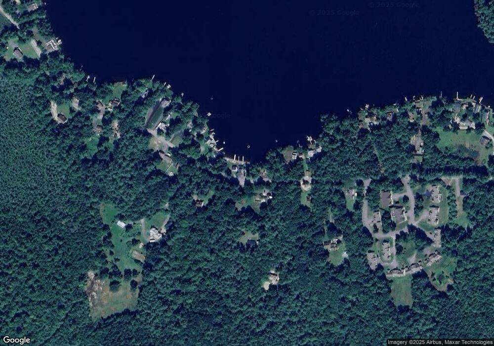
Map
Nearby Homes
- 6 Wyman Rd
- 207 Sherbert Rd
- 8 Laurel Dr
- 358 Winchendon Rd
- 0 Winding Cove Rd Unit 73431444
- Lot 40C Winchendon Rd
- 495 Winchendon Rd
- Lot 3 W State Rd
- 199 Tuckerman Rd
- 119 W Shore Dr
- 98 Goldmine Rd
- 750 Teel Rd
- 1 Roberts Way
- - Gardner Rd
- 18 Corey Hill Rd
- 100 Main St
- 36 Hillandale Rd
- 57 Ashby Rd
- 431 Teel Rd
- 152 Ashby Rd
- 174 Sherbert Rd
- 178 Sherbert Rd
- 172 Sherbert Rd
- 180 Sherbert Rd
- 173 Sherbert Rd
- 182 Sherbert Rd
- 164 Sherbert Rd
- 166 Sherbert Rd
- 184 Sherbert Rd
- 181 Sherbert Rd
- 162 Sherbert Rd
- 186 Sherbert Rd
- 163 Sherbert Rd
- 28 Wyman Rd
- 30 Wyman Rd
- 187 Sherbert Rd
- 190 Sherbert Rd
- 26 Wyman Rd
- 189 Sherbert Rd
- 24 Wyman Rd