176 Tucker Cir Lagrange, GA 30240
Estimated Value: $84,011 - $230,000
2
Beds
1
Bath
640
Sq Ft
$238/Sq Ft
Est. Value
About This Home
This home is located at 176 Tucker Cir, Lagrange, GA 30240 and is currently estimated at $152,253, approximately $237 per square foot. 176 Tucker Cir is a home located in Troup County with nearby schools including Long Cane Elementary School, Berta Weathersbee Elementary School, and Whitesville Road Elementary School.
Ownership History
Date
Name
Owned For
Owner Type
Purchase Details
Closed on
Dec 12, 2002
Sold by
Bank Of New York
Bought by
Heard Lulamae
Current Estimated Value
Purchase Details
Closed on
May 7, 2002
Sold by
Arthur Sellars
Bought by
Bank Of New York
Purchase Details
Closed on
Feb 3, 1997
Sold by
Mattie Sellars
Bought by
Arthur Sellars
Purchase Details
Closed on
Sep 19, 1974
Bought by
Mattie Sellars
Create a Home Valuation Report for This Property
The Home Valuation Report is an in-depth analysis detailing your home's value as well as a comparison with similar homes in the area
Home Values in the Area
Average Home Value in this Area
Purchase History
| Date | Buyer | Sale Price | Title Company |
|---|---|---|---|
| Heard Lulamae | $18,000 | -- | |
| Bank Of New York | $20,100 | -- | |
| Arthur Sellars | -- | -- | |
| Mattie Sellars | $1,000 | -- |
Source: Public Records
Tax History Compared to Growth
Tax History
| Year | Tax Paid | Tax Assessment Tax Assessment Total Assessment is a certain percentage of the fair market value that is determined by local assessors to be the total taxable value of land and additions on the property. | Land | Improvement |
|---|---|---|---|---|
| 2024 | $459 | $18,824 | $3,560 | $15,264 |
| 2023 | $2 | $15,548 | $3,560 | $11,988 |
| 2022 | $361 | $14,908 | $3,560 | $11,348 |
| 2021 | $348 | $13,516 | $2,680 | $10,836 |
| 2020 | $348 | $13,516 | $2,680 | $10,836 |
| 2019 | $304 | $12,084 | $2,080 | $10,004 |
| 2018 | $277 | $11,160 | $2,080 | $9,080 |
| 2017 | $277 | $11,160 | $2,080 | $9,080 |
| 2016 | $268 | $10,876 | $2,080 | $8,796 |
| 2015 | $314 | $12,376 | $2,080 | $10,296 |
| 2014 | $314 | $12,364 | $2,080 | $10,284 |
| 2013 | -- | $12,352 | $2,080 | $10,272 |
Source: Public Records
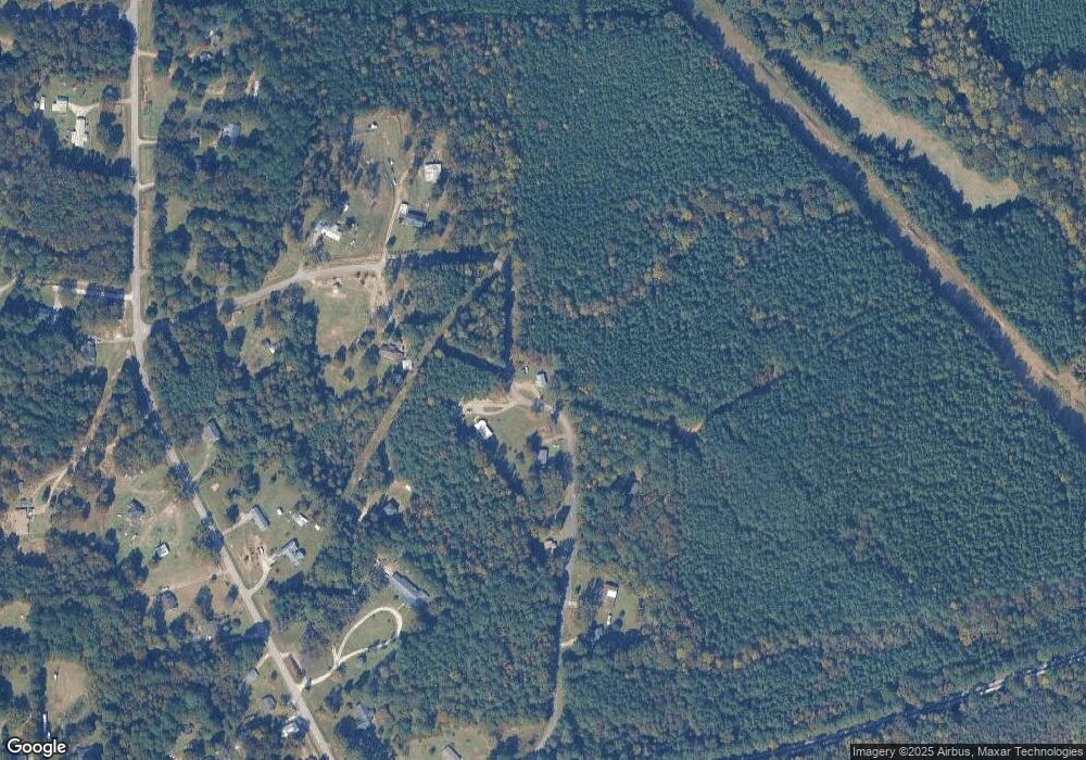
Map
Nearby Homes
- 1248 Cannonville Rd
- 0 Robert Hayes Rd Unit 10611067
- 0 Cannonville Rd
- 3010 Old West Point Rd
- 135 AC Hanson Dr
- 797 Gabbettville Rd
- 5714 W Point Rd
- 0 Lower Glass Bridge Rd Unit 10507389
- 0 Sandtown Rd Unit 10255987
- 687 Glass Bridge Rd
- 102 Hawthorne Cir
- 648 Warner Rd
- 333 Woodfield Cir
- 530 New Hutchinson Mill Rd
- 110 Hawthorne Cir
- 2790 Bartley Rd
- 141 Plymouth Dr
- 102 Franklin Place
- 119 Plymouth Dr
- 0 Bradfield Dr Unit 10568803
- 0 Tucker Cir Unit 10183405
- 0 Tucker Cir Unit 8354036
- 0 Tucker Cir Unit 8470783
- 0 Tucker Cir
- 179 Tucker Cir
- 151 Tucker Cir
- 259 Tucker Cir
- 125 Tucker Cir
- 250 Tucker Cir
- 1092 Cannonville Rd
- 114 Tucker Cir
- 274 Tucker Cir
- 1086 Cannonville Rd
- 98 Tucker Cir
- 1144 Cannonville Rd
- 1124 Cannonville Rd
- 305 Tucker Cir
- 1154 Cannonville Rd
- 1216 Cannonville Rd
- 1260 Cannonville Rd