1760 10 1/2 Rd MacK, CO 81525
Mack NeighborhoodEstimated Value: $868,471 - $1,047,000
4
Beds
4
Baths
3,724
Sq Ft
$258/Sq Ft
Est. Value
About This Home
This home is located at 1760 10 1/2 Rd, MacK, CO 81525 and is currently estimated at $959,824, approximately $257 per square foot. 1760 10 1/2 Rd is a home located in Mesa County with nearby schools including Loma Elementary School, Fruita Middle School, and Fruita 8/9 School.
Ownership History
Date
Name
Owned For
Owner Type
Purchase Details
Closed on
Aug 24, 2017
Sold by
Demerly Craig and Demerly Candice
Bought by
Marsh David A and Marsh Elizabeth A
Current Estimated Value
Purchase Details
Closed on
Jun 12, 2013
Sold by
Marsh David and Marsh Elizabeth
Bought by
Marsh David A and Marsh Elizabeth A
Home Financials for this Owner
Home Financials are based on the most recent Mortgage that was taken out on this home.
Original Mortgage
$391,500
Interest Rate
3.38%
Mortgage Type
New Conventional
Purchase Details
Closed on
Dec 16, 2011
Sold by
Over R Jeff and Over Denise
Bought by
Marsh David and Marsh Elizabeth
Home Financials for this Owner
Home Financials are based on the most recent Mortgage that was taken out on this home.
Original Mortgage
$400,000
Interest Rate
4%
Mortgage Type
Seller Take Back
Purchase Details
Closed on
Feb 3, 2000
Sold by
Loma Enterprises Llc
Bought by
Over R Jeff and Over Denise
Create a Home Valuation Report for This Property
The Home Valuation Report is an in-depth analysis detailing your home's value as well as a comparison with similar homes in the area
Home Values in the Area
Average Home Value in this Area
Purchase History
| Date | Buyer | Sale Price | Title Company |
|---|---|---|---|
| Marsh David A | -- | None Available | |
| Marsh David A | -- | Clt Closing & Title Services | |
| Marsh David | $400,000 | Fidelity National Title Insu | |
| Over R Jeff | -- | -- |
Source: Public Records
Mortgage History
| Date | Status | Borrower | Loan Amount |
|---|---|---|---|
| Previous Owner | Marsh David A | $391,500 | |
| Previous Owner | Marsh David | $400,000 |
Source: Public Records
Tax History Compared to Growth
Tax History
| Year | Tax Paid | Tax Assessment Tax Assessment Total Assessment is a certain percentage of the fair market value that is determined by local assessors to be the total taxable value of land and additions on the property. | Land | Improvement |
|---|---|---|---|---|
| 2024 | $2,087 | $30,630 | $1,550 | $29,080 |
| 2023 | $2,087 | $30,630 | $1,550 | $29,080 |
| 2022 | $3,128 | $45,300 | $1,210 | $44,090 |
| 2021 | $3,147 | $46,690 | $1,330 | $45,360 |
| 2020 | $3,021 | $45,950 | $1,070 | $44,880 |
| 2019 | $2,851 | $45,950 | $1,070 | $44,880 |
| 2018 | $2,553 | $37,400 | $1,410 | $35,990 |
Source: Public Records
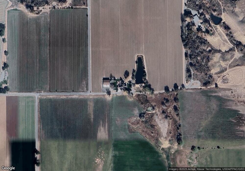
Map
Nearby Homes
- 1626 10 Rd
- 1777 9 Rd
- 1940 10 Rd
- 857 R Rd
- 830 Old 6 and 50
- 1525 Clarkton St
- 1018 1/2 Old Highway 6&50
- 1046 Carbonera
- 1346 Robinson Ct
- 1345 Robinson Ct
- 854 Slickrock Dr
- 716 Old Highway 6&50
- 710 Old Highway 6&50
- 1402 O Rd
- TBD Lot 4 O Rd
- TBD Lot 2 O Rd
- 1516 13 Rd
- 1256 Iron Vista Way
- 1268 Iron Vista Way
- 1262 Iron Vista Way