1760 Airport Rd Winchester, VA 22602
Estimated Value: $553,000 - $742,082
3
Beds
4
Baths
2,323
Sq Ft
$270/Sq Ft
Est. Value
About This Home
This home is located at 1760 Airport Rd, Winchester, VA 22602 and is currently estimated at $628,021, approximately $270 per square foot. 1760 Airport Rd is a home with nearby schools including Armel Elementary School, Admiral Richard E. Byrd Middle School, and Millbrook High School.
Ownership History
Date
Name
Owned For
Owner Type
Purchase Details
Closed on
Oct 14, 2022
Sold by
Hartman Jared
Bought by
Hartman Jared M and Snyder Avery K
Current Estimated Value
Home Financials for this Owner
Home Financials are based on the most recent Mortgage that was taken out on this home.
Original Mortgage
$342,188
Outstanding Balance
$328,319
Interest Rate
5.25%
Mortgage Type
Construction
Estimated Equity
$299,702
Purchase Details
Closed on
Sep 29, 2020
Sold by
Fauver Christopher and Fauver Barbara
Bought by
Hartman Jared
Purchase Details
Closed on
Oct 7, 2019
Sold by
Wilson Keith A
Bought by
Fauver Christopher and Fauver Barbara
Create a Home Valuation Report for This Property
The Home Valuation Report is an in-depth analysis detailing your home's value as well as a comparison with similar homes in the area
Home Values in the Area
Average Home Value in this Area
Purchase History
| Date | Buyer | Sale Price | Title Company |
|---|---|---|---|
| Hartman Jared M | -- | Fidelity National Title | |
| Hartman Jared | $80,000 | Attorney | |
| Fauver Christopher | $65,000 | Attorney |
Source: Public Records
Mortgage History
| Date | Status | Borrower | Loan Amount |
|---|---|---|---|
| Open | Hartman Jared M | $342,188 |
Source: Public Records
Tax History Compared to Growth
Tax History
| Year | Tax Paid | Tax Assessment Tax Assessment Total Assessment is a certain percentage of the fair market value that is determined by local assessors to be the total taxable value of land and additions on the property. | Land | Improvement |
|---|---|---|---|---|
| 2025 | $3,219 | $670,700 | $100,000 | $570,700 |
| 2024 | $1,455 | $570,700 | $81,500 | $489,200 |
| 2023 | $906 | $177,600 | $81,500 | $96,100 |
| 2022 | $409 | $67,000 | $67,000 | $0 |
| 2021 | $409 | $67,000 | $67,000 | $0 |
| 2020 | $409 | $67,000 | $67,000 | $0 |
| 2019 | $409 | $67,000 | $67,000 | $0 |
| 2018 | $407 | $66,800 | $66,800 | $0 |
| 2017 | $401 | $66,800 | $66,800 | $0 |
| 2016 | $341 | $56,800 | $56,800 | $0 |
| 2015 | $318 | $56,800 | $56,800 | $0 |
| 2014 | $166 | $56,800 | $56,800 | $0 |
Source: Public Records
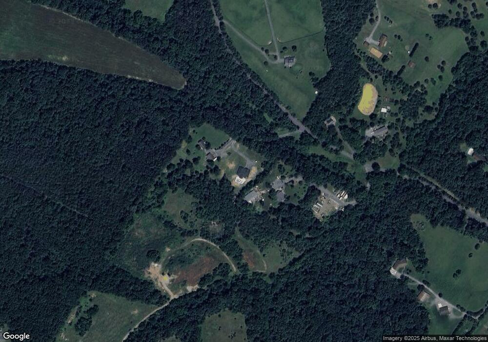
Map
Nearby Homes
- 206 Covey Ln
- 2983 Old Winchester Rd
- 1080 Airport Rd
- 1077 Ginns Rd
- 64 Salem Church Rd
- 109 Boone Ct
- Lot 1 WILDE Acres
- 368 Victory Rd
- 1327 Front Royal Pike
- 2294 Front Royal Pike
- 113 Maury Way
- 109 Shelby Ct
- 128 Longcroft Rd
- 125 Alliance Ct
- 0 Front Royal Pike
- 115 Blue Ridge Ln
- 103 Blue Ridge Ln
- 142 Woodford Dr
- 298 Bufflick Rd
- 0 Lakeside Dr Unit VAFV2038078