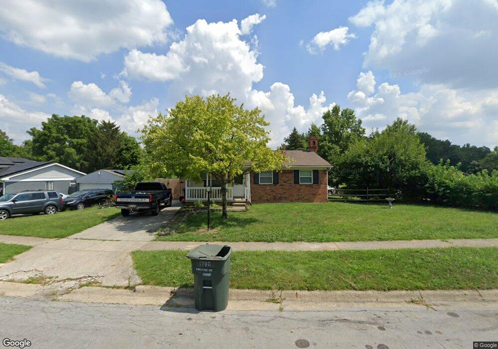
1760 Creekside Dr Columbus, OH 43223
Riverbend NeighborhoodEstimated Value: $219,000 - $243,000
3
Beds
1
Bath
1,050
Sq Ft
$217/Sq Ft
Est. Value
About This Home
This home is located at 1760 Creekside Dr, Columbus, OH 43223 and is currently estimated at $228,175, approximately $217 per square foot. 1760 Creekside Dr is a home located in Franklin County with nearby schools including James A Harmon Elementary School, Franklin Woods Intermediate School, and Finland Middle School.
Ownership History
Date
Name
Owned For
Owner Type
Purchase Details
Closed on
Oct 30, 2006
Sold by
Bryant Tina M and Bryant Paul Douglas
Bought by
Fabian Mark and Fabian Diane
Current Estimated Value
Home Financials for this Owner
Home Financials are based on the most recent Mortgage that was taken out on this home.
Original Mortgage
$102,900
Interest Rate
6.45%
Mortgage Type
Purchase Money Mortgage
Purchase Details
Closed on
Oct 6, 1999
Sold by
Snider Fred J
Bought by
Bryant Paul Douglas and Bryant Tina M
Home Financials for this Owner
Home Financials are based on the most recent Mortgage that was taken out on this home.
Original Mortgage
$85,787
Interest Rate
7.9%
Mortgage Type
FHA
Purchase Details
Closed on
Nov 27, 1989
Create a Home Valuation Report for This Property
The Home Valuation Report is an in-depth analysis detailing your home's value as well as a comparison with similar homes in the area
Home Values in the Area
Average Home Value in this Area
Purchase History
| Date | Buyer | Sale Price | Title Company |
|---|---|---|---|
| Fabian Mark | $102,900 | Stewart Tit | |
| Bryant Paul Douglas | $86,500 | Chicago Title | |
| -- | -- | -- |
Source: Public Records
Mortgage History
| Date | Status | Borrower | Loan Amount |
|---|---|---|---|
| Previous Owner | Fabian Mark | $102,900 | |
| Previous Owner | Bryant Paul Douglas | $85,787 |
Source: Public Records
Tax History Compared to Growth
Tax History
| Year | Tax Paid | Tax Assessment Tax Assessment Total Assessment is a certain percentage of the fair market value that is determined by local assessors to be the total taxable value of land and additions on the property. | Land | Improvement |
|---|---|---|---|---|
| 2024 | $2,410 | $66,090 | $17,540 | $48,550 |
| 2023 | $2,367 | $66,080 | $17,535 | $48,545 |
| 2022 | $1,979 | $40,540 | $11,660 | $28,880 |
| 2021 | $2,074 | $40,540 | $11,660 | $28,880 |
| 2020 | $2,007 | $40,540 | $11,660 | $28,880 |
| 2019 | $1,816 | $32,380 | $9,700 | $22,680 |
| 2018 | $1,723 | $32,380 | $9,700 | $22,680 |
| 2017 | $1,800 | $32,380 | $9,700 | $22,680 |
| 2016 | $1,637 | $27,060 | $5,040 | $22,020 |
| 2015 | $1,637 | $27,060 | $5,040 | $22,020 |
| 2014 | $1,639 | $27,060 | $5,040 | $22,020 |
| 2013 | $903 | $30,065 | $5,600 | $24,465 |
Source: Public Records
Map
Nearby Homes
- 0 Glencreek Rd
- 2800 Alkire Rd
- 2894 Creith Ct
- 1520 Fall Brook Rd
- 2195 Big Run Ave
- 2255 Harrisburg Pike
- 2930 Alkire Rd
- 3326 Bluhm Ct
- 2103 Keller Place W
- 2937 Rundell Dr
- 3206 Andy Terrace
- 2856 Chesfield Dr
- 1657 Ripplebrook Rd
- 1465 Tall Meadows Dr
- 3488 Rocky Rd
- 2929 Briggs Rd
- 2500 Harrisburg Pike Unit Lot 8
- 1168 Racine Ave
- 2436 Onyx Ct
- 0 S Central Ave
- 1760 Creekside Dr Unit ROCK
- 1752 Creekside Dr Unit ROCK
- 1752 Creekside Dr
- 2992 Valley Creek Dr
- 1780 Creekside Dr
- 1763 Creekside Dr
- 1747 Creekside Dr
- 2991 Valley Creek Dr
- 1757 Creekside Dr
- 1740 Creekside Dr
- 1788 Creekside Dr
- 1781 Creekside Dr
- 1749 Creekside Dr
- 2985 Valley Creek Dr
- 1734 Creekside Dr
- 1737 Creekside Dr
- 1787 Creekside Dr
- 2976 Valley Creek Dr
- 3036 Valley Creek Dr
- 1800 Creekside Dr Unit ROCK