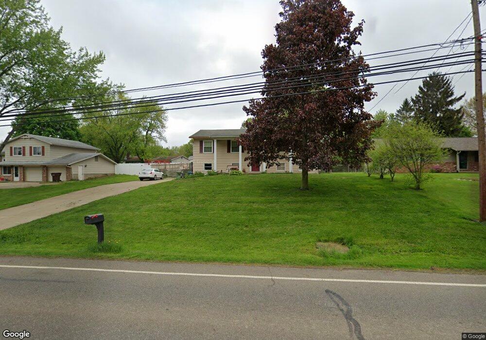
1760 Locust St S Canal Fulton, OH 44614
Estimated Value: $219,477 - $273,000
3
Beds
2
Baths
1,196
Sq Ft
$205/Sq Ft
Est. Value
About This Home
This home is located at 1760 Locust St S, Canal Fulton, OH 44614 and is currently estimated at $245,619, approximately $205 per square foot. 1760 Locust St S is a home located in Stark County with nearby schools including W.S. Stinson Elementary School, Northwest Primary School, and Northwest Middle School.
Ownership History
Date
Name
Owned For
Owner Type
Purchase Details
Closed on
Dec 18, 2018
Sold by
Estate Of Margaret R Smit
Bought by
Smith David A
Current Estimated Value
Purchase Details
Closed on
May 27, 1988
Create a Home Valuation Report for This Property
The Home Valuation Report is an in-depth analysis detailing your home's value as well as a comparison with similar homes in the area
Home Values in the Area
Average Home Value in this Area
Purchase History
| Date | Buyer | Sale Price | Title Company |
|---|---|---|---|
| Smith David A | -- | None Available | |
| -- | $42,000 | -- |
Source: Public Records
Tax History Compared to Growth
Tax History
| Year | Tax Paid | Tax Assessment Tax Assessment Total Assessment is a certain percentage of the fair market value that is determined by local assessors to be the total taxable value of land and additions on the property. | Land | Improvement |
|---|---|---|---|---|
| 2025 | -- | $54,330 | $20,900 | $33,430 |
| 2024 | -- | $54,330 | $20,900 | $33,430 |
| 2023 | $1,906 | $49,640 | $14,110 | $35,530 |
| 2022 | $1,924 | $49,640 | $14,110 | $35,530 |
| 2021 | $1,885 | $49,640 | $14,110 | $35,530 |
| 2020 | $1,691 | $39,840 | $10,960 | $28,880 |
| 2019 | $1,711 | $40,050 | $10,960 | $29,090 |
| 2018 | $1,714 | $40,050 | $10,960 | $29,090 |
| 2017 | $1,607 | $35,990 | $9,770 | $26,220 |
| 2016 | $1,625 | $35,990 | $9,770 | $26,220 |
| 2015 | $1,838 | $41,550 | $9,770 | $31,780 |
| 2014 | $1,657 | $34,970 | $8,230 | $26,740 |
| 2013 | $836 | $34,970 | $8,230 | $26,740 |
Source: Public Records
Map
Nearby Homes
- 1808 Pauli St
- 782 Beverly Ave
- 837 Colonial Ave
- 786 Beverly Ave
- 768 Beverly Ave
- 797 Goodland Cir NW
- 912 Tamwood Dr
- 963 Saint Brendan Dr
- 539 E Lakewood Dr
- S/L 32 Lakewood Dr E
- S/L 27 Lakewood Dr E
- 537 E Lakewood Dr
- 542 E Lakewood Dr
- 11912 Packets St NW
- 760 Longview Ave
- 752 Poplar St
- 0 Lafayette Dr NW
- Ballenger w/ Basement Plan at Heritage Village
- Columbia w/ Basement Plan at Heritage Village
- Allegheny w/ Basement Plan at Heritage Village
- 1744 Locust St S
- 1812 Locust St S
- 443 Gloria Cir
- 444 Gloria Cir
- 1728 Locust St S
- 447 Gloria Cir
- 1828 Locust St S
- 432 Colonial Ave
- 1745 Locust St S
- 1708 Locust St S
- 455 Gloria Cir
- 442 Colonial Ave
- 456 Gloria Cir
- 1827 Locust St S
- 1711 Locust St S
- 1860 Locust St S
- 441 Tammy Cir
- 460 Colonial Ave
- 447 Tammy Cir
- 1761 Locust St S