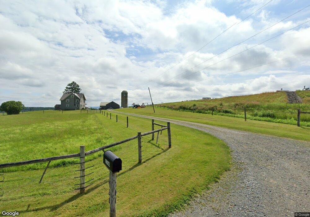
1760 S Union Rd Roaring Branch, PA 17765
Estimated Value: $210,000 - $571,777
3
Beds
1
Bath
1,636
Sq Ft
$246/Sq Ft
Est. Value
About This Home
This home is located at 1760 S Union Rd, Roaring Branch, PA 17765 and is currently estimated at $402,259, approximately $245 per square foot. 1760 S Union Rd is a home located in Tioga County with nearby schools including Canton Area Elementary School and Canton Junior/Senior High School.
Ownership History
Date
Name
Owned For
Owner Type
Purchase Details
Closed on
Aug 31, 2006
Sold by
Guindon Kenneth W and Guindon Jana L
Bought by
Guindon Kenneth W
Current Estimated Value
Home Financials for this Owner
Home Financials are based on the most recent Mortgage that was taken out on this home.
Original Mortgage
$105,000
Interest Rate
6.83%
Mortgage Type
FHA
Create a Home Valuation Report for This Property
The Home Valuation Report is an in-depth analysis detailing your home's value as well as a comparison with similar homes in the area
Home Values in the Area
Average Home Value in this Area
Purchase History
| Date | Buyer | Sale Price | Title Company |
|---|---|---|---|
| Guindon Kenneth W | -- | None Available |
Source: Public Records
Mortgage History
| Date | Status | Borrower | Loan Amount |
|---|---|---|---|
| Closed | Guindon Kenneth W | $105,000 |
Source: Public Records
Tax History Compared to Growth
Tax History
| Year | Tax Paid | Tax Assessment Tax Assessment Total Assessment is a certain percentage of the fair market value that is determined by local assessors to be the total taxable value of land and additions on the property. | Land | Improvement |
|---|---|---|---|---|
| 2025 | $4,194 | $305,660 | $148,290 | $157,370 |
| 2024 | $6,861 | $305,660 | $148,290 | $157,370 |
| 2023 | $3,320 | $122,920 | $38,520 | $84,400 |
| 2022 | $3,343 | $122,920 | $38,520 | $84,400 |
| 2021 | $3,339 | $122,920 | $38,520 | $84,400 |
| 2020 | $3,469 | $122,920 | $38,520 | $84,400 |
| 2019 | $3,360 | $122,920 | $38,520 | $84,400 |
| 2018 | $3,366 | $122,920 | $38,520 | $84,400 |
| 2017 | -- | $122,920 | $38,520 | $84,400 |
| 2016 | $3,359 | $188,090 | $103,690 | $84,400 |
| 2015 | -- | $122,920 | $38,520 | $84,400 |
| 2014 | -- | $122,920 | $38,520 | $84,400 |
Source: Public Records
Map
Nearby Homes
- 68 Charles St
- 5407 Route 14
- 13183 State Route 414
- 13632 Route 414
- 84 Green Hill Rd
- 70 Greens Hill Rd
- 47 E Hill St
- 828 Bloss Mountain Rd
- 4489 Williamson Trail
- 1909 Mill Hill Rd
- 1177 Bloss Mountain Rd
- 1235 Pleasant Stream Rd
- 8065 Route 414
- 2218 Mountain Top Rd
- 38 Hillside Ln
- 265 Gulick St
- 55 Main St
- 114 Summit St
- 238 S Williamson Rd
- 221 S Williamson Rd