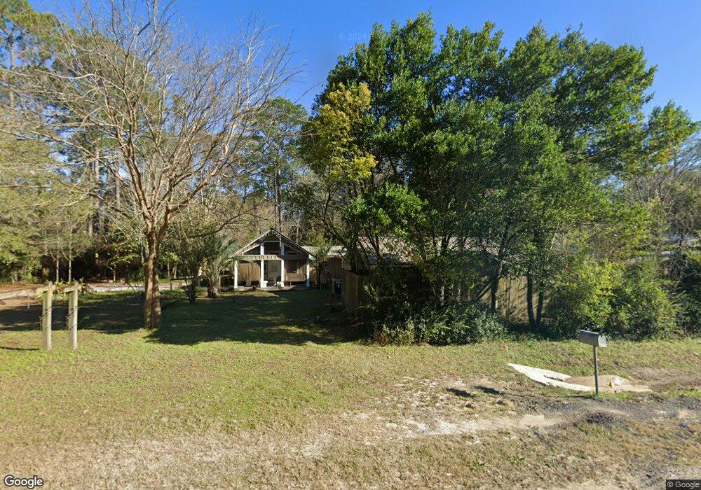
1760 State Highway 83 N Defuniak Springs, FL 32433
Estimated Value: $151,000 - $294,000
3
Beds
3
Baths
2,974
Sq Ft
$82/Sq Ft
Est. Value
About This Home
This home is located at 1760 State Highway 83 N, Defuniak Springs, FL 32433 and is currently estimated at $243,527, approximately $81 per square foot. 1760 State Highway 83 N is a home located in Walton County with nearby schools including Maude Saunders Elementary School, West Defuniak Elementary School, and Walton Middle School.
Ownership History
Date
Name
Owned For
Owner Type
Purchase Details
Closed on
Dec 21, 2004
Sold by
Deitz Albert H
Bought by
Robinson Terry Jerome and Robinson Patricia Carol
Current Estimated Value
Purchase Details
Closed on
Jun 18, 2004
Sold by
Hayes James Monroe
Bought by
Robinson Terry and Robinson Patricia
Home Financials for this Owner
Home Financials are based on the most recent Mortgage that was taken out on this home.
Original Mortgage
$46,000
Interest Rate
6.3%
Mortgage Type
Unknown
Create a Home Valuation Report for This Property
The Home Valuation Report is an in-depth analysis detailing your home's value as well as a comparison with similar homes in the area
Home Values in the Area
Average Home Value in this Area
Purchase History
| Date | Buyer | Sale Price | Title Company |
|---|---|---|---|
| Robinson Terry Jerome | -- | -- | |
| Robinson Terry | $57,500 | Accu Title Agency |
Source: Public Records
Mortgage History
| Date | Status | Borrower | Loan Amount |
|---|---|---|---|
| Previous Owner | Robinson Terry | $46,000 | |
| Closed | Robinson Terry | $11,500 |
Source: Public Records
Tax History Compared to Growth
Tax History
| Year | Tax Paid | Tax Assessment Tax Assessment Total Assessment is a certain percentage of the fair market value that is determined by local assessors to be the total taxable value of land and additions on the property. | Land | Improvement |
|---|---|---|---|---|
| 2024 | $687 | $115,419 | -- | -- |
| 2023 | $687 | $108,119 | $0 | $0 |
| 2022 | $661 | $107,019 | $0 | $0 |
| 2021 | $638 | $98,508 | $0 | $0 |
| 2020 | $623 | $93,893 | $11,162 | $82,731 |
| 2019 | $611 | $92,474 | $10,944 | $81,530 |
| 2018 | $599 | $90,339 | $0 | $0 |
| 2017 | $601 | $90,218 | $10,944 | $79,274 |
| 2016 | $603 | $89,632 | $0 | $0 |
| 2015 | $595 | $87,130 | $0 | $0 |
| 2014 | $611 | $88,197 | $0 | $0 |
Source: Public Records
Map
Nearby Homes
- 59 Nina St
- 117 +/- AC Hwy 83
- Lot 20 Magnolia Lake Dr
- 270 Windham Way
- 21 Langston Ln
- Gardner Plan at Pinehurst Estates
- Roanoke Plan at Pinehurst Estates
- Essex Plan at Pinehurst Estates
- 841 N 1st St
- 35 Cora Rd
- Lots 38-39 Bass Haven Dr
- tbd Bass Haven Dr Unit 35
- Lot 39 Bass Haven Dr
- Lot 38 Bass Haven Dr
- 319 Bass Haven Dr
- 325 Bass Haven Dr
- 10.7 Acres Juniper Lake Rd
- 1155 N 20th St
- 100 Hidden Lakes Trail
- 1336 Juniper Lake Rd
- 1771 Highway 83
- 1702 State Highway 83 N
- 1771 State Highway 83 N
- 58 Cora Lee Ln
- 48 Gregory Dean Ln
- 1600 N 9th St
- 1600 N 9th St
- 92 Cora Lee Ln
- 35 Cora Lee Ln
- 00 Haigh Hill Rd
- 116 Cora Lee Ln
- 111 Cora Lee Ln
- 145 Haigh Hill Rd
- 28.7 Acres Spradlin Rd
- 1600 State Highway 83
- 143 Cora Lee Ln
- 47 Haigh Hill Rd
- 69 Haigh Hill Rd
- 92 Spradlin Rd
- 169 Ms Marsha Ln