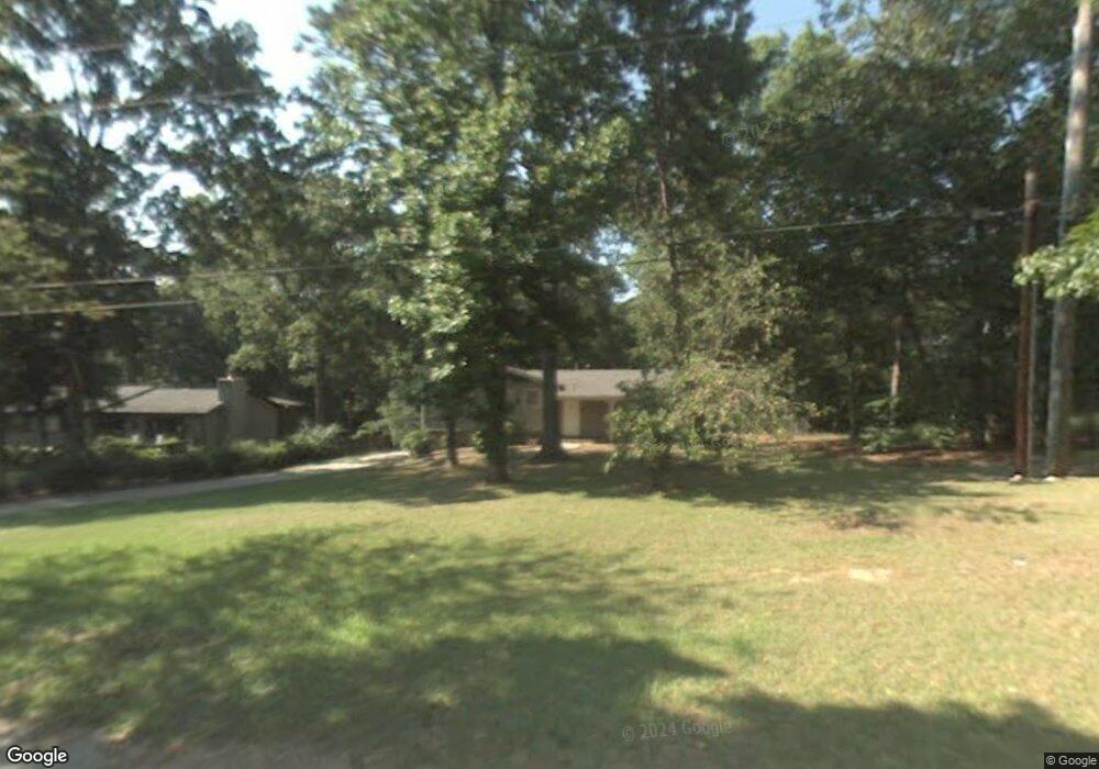
1760 W Elmwood Dr Acworth, GA 30102
Oak Grove NeighborhoodEstimated Value: $285,244 - $325,000
3
Beds
2
Baths
1,276
Sq Ft
$239/Sq Ft
Est. Value
About This Home
This home is located at 1760 W Elmwood Dr, Acworth, GA 30102 and is currently estimated at $305,122, approximately $239 per square foot. 1760 W Elmwood Dr is a home located in Cherokee County with nearby schools including E. T. Booth Middle School, Etowah High School, and Keystone Prep Academy.
Ownership History
Date
Name
Owned For
Owner Type
Purchase Details
Closed on
Dec 21, 2020
Sold by
Freeport Title & Guaranty Inc Trustee
Bought by
Jefferson Dr Llc
Current Estimated Value
Purchase Details
Closed on
Oct 13, 2010
Sold by
Kpd Properties Inc
Bought by
1760 Elmwood Drive Land Trust
Purchase Details
Closed on
Jan 5, 2004
Sold by
Kpd Properties Inc
Bought by
Dempsey Clay E
Home Financials for this Owner
Home Financials are based on the most recent Mortgage that was taken out on this home.
Original Mortgage
$104,000
Interest Rate
5.77%
Create a Home Valuation Report for This Property
The Home Valuation Report is an in-depth analysis detailing your home's value as well as a comparison with similar homes in the area
Home Values in the Area
Average Home Value in this Area
Purchase History
| Date | Buyer | Sale Price | Title Company |
|---|---|---|---|
| Jefferson Dr Llc | -- | -- | |
| 1760 Elmwood Drive Land Trust | -- | -- | |
| Dempsey Clay E | $130,000 | -- |
Source: Public Records
Mortgage History
| Date | Status | Borrower | Loan Amount |
|---|---|---|---|
| Previous Owner | Dempsey Clay E | $104,000 |
Source: Public Records
Tax History Compared to Growth
Tax History
| Year | Tax Paid | Tax Assessment Tax Assessment Total Assessment is a certain percentage of the fair market value that is determined by local assessors to be the total taxable value of land and additions on the property. | Land | Improvement |
|---|---|---|---|---|
| 2025 | $2,387 | $90,892 | $22,000 | $68,892 |
| 2024 | $2,362 | $90,892 | $22,000 | $68,892 |
| 2023 | $2,362 | $90,892 | $22,000 | $68,892 |
| 2022 | $1,887 | $71,812 | $20,000 | $51,812 |
| 2021 | $1,641 | $57,812 | $15,600 | $42,212 |
| 2020 | $1,477 | $51,972 | $12,800 | $39,172 |
| 2019 | $1,343 | $47,280 | $12,000 | $35,280 |
| 2018 | $1,093 | $38,240 | $8,800 | $29,440 |
| 2017 | $996 | $93,500 | $8,800 | $28,600 |
| 2016 | $996 | $85,500 | $8,800 | $25,400 |
| 2015 | $894 | $76,000 | $7,800 | $22,600 |
| 2014 | $847 | $71,900 | $7,800 | $20,960 |
Source: Public Records
Map
Nearby Homes
- 400 Sable Trace Cove
- 585 Lee Dr
- 626 Spanish Oak Dr
- 636 Spanish Oak Dr
- 423 Royal Oak Dr
- 148 Sable Trace Trail
- 5574 Oak Grove Dr
- 271 Oak Grove Way
- 154 Bryon Ln
- 1768 Balsa Ln
- 140 Bryon Ln
- 402 Royal Oak Dr
- 6312 Woodstock Rd
- 6390 Woodstock Rd
- 4915 Highway 92
- 4645 Highway 92
- 5666 Goldfield Dr
- 167 Sable Trace Trail
- 4771 Highway 92
- 1772 W Elmwood Dr
- 1784 W Elmwood Dr
- 1754 W Elmwood Dr
- 1757 W Elmwood Dr
- 1769 W Elmwood Dr
- 1796 W Elmwood Dr
- 258 Sable Trace Dr
- 1759 W Elmwood Dr
- 0 Sable Trace Pass
- 260 Sable Trace Dr
- 1781 W Elmwood Dr
- W W Elmwood Dr
- 1756 W Elmwood Dr
- 1808 W Elmwood Dr
- 1793 W Elmwood Dr
- 1750 W Elmwood Dr
- 256 Sable Trace Dr
- 0 Pine Forest Dr Unit 7638952
- 1786 Pine Forrest Dr
- 1805 W Elmwood Dr