17601 Old Military Rd Dallas, OR 97338
Estimated Value: $479,563 - $580,000
2
Beds
2
Baths
1,698
Sq Ft
$322/Sq Ft
Est. Value
About This Home
This home is located at 17601 Old Military Rd, Dallas, OR 97338 and is currently estimated at $546,141, approximately $321 per square foot. 17601 Old Military Rd is a home located in Polk County with nearby schools including Perrydale School.
Ownership History
Date
Name
Owned For
Owner Type
Purchase Details
Closed on
Apr 28, 2004
Sold by
Rogers Wilma T
Bought by
Weir Jeff T and Artus Bobbie M
Current Estimated Value
Home Financials for this Owner
Home Financials are based on the most recent Mortgage that was taken out on this home.
Original Mortgage
$163,600
Outstanding Balance
$72,639
Interest Rate
4.75%
Mortgage Type
Purchase Money Mortgage
Estimated Equity
$473,502
Create a Home Valuation Report for This Property
The Home Valuation Report is an in-depth analysis detailing your home's value as well as a comparison with similar homes in the area
Home Values in the Area
Average Home Value in this Area
Purchase History
| Date | Buyer | Sale Price | Title Company |
|---|---|---|---|
| Weir Jeff T | $204,500 | Lawyers Title Ins | |
| Rogers Wilma T | -- | Lawyers Title Ins |
Source: Public Records
Mortgage History
| Date | Status | Borrower | Loan Amount |
|---|---|---|---|
| Open | Weir Jeff T | $163,600 | |
| Closed | Weir Jeff T | $40,900 |
Source: Public Records
Tax History Compared to Growth
Tax History
| Year | Tax Paid | Tax Assessment Tax Assessment Total Assessment is a certain percentage of the fair market value that is determined by local assessors to be the total taxable value of land and additions on the property. | Land | Improvement |
|---|---|---|---|---|
| 2025 | $2,068 | $173,703 | $51,463 | $122,240 |
| 2024 | $2,068 | $168,650 | $49,960 | $118,690 |
| 2023 | $2,014 | $163,738 | $48,498 | $115,240 |
| 2022 | $1,956 | $158,977 | $47,087 | $111,890 |
| 2021 | $1,678 | $154,347 | $45,717 | $108,630 |
| 2020 | $1,485 | $149,857 | $44,387 | $105,470 |
| 2019 | $1,594 | $145,499 | $43,089 | $102,410 |
| 2018 | $1,547 | $141,261 | $41,831 | $99,430 |
| 2017 | $1,519 | $137,155 | $40,615 | $96,540 |
| 2016 | $1,445 | $133,168 | $39,428 | $93,740 |
| 2015 | $1,408 | $129,293 | $38,283 | $91,010 |
| 2014 | $1,326 | $125,529 | $37,169 | $88,360 |
Source: Public Records
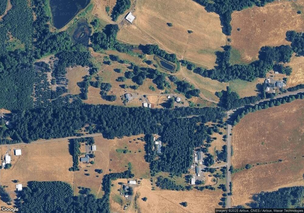
Map
Nearby Homes
- 17485 Highway 22
- 17485 Hwy 22
- 17485 Oregon 22
- 17925 Brown Rd
- 3890 Mill Creek Rd
- 2168 Pioneer Rd
- 2040 Pioneer Rd
- 0 Reuben Boise Rd Unit 23088278
- 14350 Salt Creek Rd
- (15015) Orchard Knob Rd
- 0 Pioneer Rd Unit 824759
- 0 Pioneer Rd Unit 474982589
- 0 Pioneer Rd Unit 22466268
- 21560 Gooseneck Rd
- 0 Orchard Knob Rd
- Lot 2 Orchard Knob Rd
- 300 Reuben Boise Rd
- 375 Pioneer Rd
- 14250 Orchard Knob (Next To) Rd
- 0 Pioneer (Lot#1300) Rd
- 17620 Old Military Rd
- 17405 Brown Rd
- 17415 Brown Rd
- 17500 Old Military Rd
- 17800 Old Military Rd
- 17411 Brown Rd
- 17409 Brown Rd
- 0 Old Military (Frontage) Rd Unit 792803
- 0 Old Military (Front) Rd Unit 22329948
- 17425 Brown Rd
- 17365 Brown Rd
- 0 Old Military Rd
- 17176 Brown Rd
- 17485 Brown Rd
- Parcel#368089 Brown Rd
- TL 415 Brown Rd
- 17470 Brown Rd
- 17180 Brown Rd
- 17135 Brown Rd
- 17486 Brown Rd