1761 Caton Farm Rd Plainfield, IL 60586
North Minooka NeighborhoodEstimated Value: $423,000 - $496,000
--
Bed
1
Bath
2,694
Sq Ft
$169/Sq Ft
Est. Value
About This Home
This home is located at 1761 Caton Farm Rd, Plainfield, IL 60586 and is currently estimated at $455,094, approximately $168 per square foot. 1761 Caton Farm Rd is a home located in Kendall County with nearby schools including Thomas Jefferson Elementary School, Aux Sable Middle School, and Plainfield South High School.
Ownership History
Date
Name
Owned For
Owner Type
Purchase Details
Closed on
Dec 24, 2014
Sold by
Book Sandra R
Bought by
Book Charles D
Current Estimated Value
Home Financials for this Owner
Home Financials are based on the most recent Mortgage that was taken out on this home.
Original Mortgage
$107,000
Outstanding Balance
$82,052
Interest Rate
3.95%
Mortgage Type
New Conventional
Estimated Equity
$373,042
Purchase Details
Closed on
Jul 27, 1999
Sold by
Book Charles D
Bought by
Book Sandra R
Create a Home Valuation Report for This Property
The Home Valuation Report is an in-depth analysis detailing your home's value as well as a comparison with similar homes in the area
Home Values in the Area
Average Home Value in this Area
Purchase History
| Date | Buyer | Sale Price | Title Company |
|---|---|---|---|
| Book Charles D | -- | -- | |
| Book Sandra R | -- | -- |
Source: Public Records
Mortgage History
| Date | Status | Borrower | Loan Amount |
|---|---|---|---|
| Open | Book Charles D | $107,000 |
Source: Public Records
Tax History Compared to Growth
Tax History
| Year | Tax Paid | Tax Assessment Tax Assessment Total Assessment is a certain percentage of the fair market value that is determined by local assessors to be the total taxable value of land and additions on the property. | Land | Improvement |
|---|---|---|---|---|
| 2024 | $7,529 | $120,099 | $17,482 | $102,617 |
| 2023 | $6,955 | $108,963 | $17,482 | $91,481 |
| 2022 | $6,955 | $100,967 | $15,745 | $85,222 |
| 2021 | $6,721 | $96,096 | $15,985 | $80,111 |
| 2020 | $6,435 | $90,394 | $15,037 | $75,357 |
| 2019 | $6,249 | $86,485 | $14,387 | $72,098 |
| 2018 | $6,069 | $82,811 | $14,387 | $68,424 |
| 2017 | $6,020 | $78,635 | $14,387 | $64,248 |
| 2016 | $5,675 | $73,040 | $14,209 | $58,831 |
| 2015 | $5,637 | $69,318 | $14,209 | $55,109 |
| 2014 | -- | $69,318 | $14,209 | $55,109 |
| 2013 | -- | $69,318 | $14,209 | $55,109 |
Source: Public Records
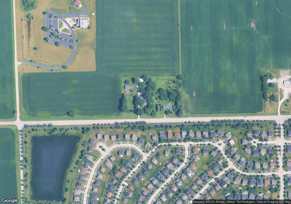
Map
Nearby Homes
- 2305 Rosehall Dr
- 2211 Providence Way
- 8307 Greenbridge Ct
- 8313 Wildspring Pkwy
- 2106 Rosehall Dr
- 8317 Pembridge Ct
- 2147 Pembridge Ln
- 8109 Tremont Ln
- 8104 Arlington Ln
- 1810 Wildspring Pkwy
- 2702 Deer Crossing Dr
- 7805 Scarlett Oak Ct
- 7425 Rosewind Dr Unit 2
- 2217 Ashby Ln
- 7652 Scarlett Oak Dr
- 7511 Burshire Dr
- 1713 Burshire Dr
- 2300 Covington Ct
- 7509 Prairieside Dr
- 7800 Bellflower Ln
- 1705 Caton Farm Rd
- 8507 Rosehall Dr
- 8505 Rosehall Dr
- 8417 Waterbury Dr
- 8415 Waterbury Dr
- 8503 Rosehall Dr
- 8413 Waterbury Dr
- 8509 Rosehall Dr
- 8501 Rosehall Dr
- 8411 Waterbury Dr
- 8511 Rosehall Dr
- 8409 Waterbury Dr
- 8513 Rosehall Dr
- 8504 Rosehall Dr
- 8410 Waterbury Dr
- 8502 Rosehall Dr
- 2310 Waterbury Dr Unit 8
- 8407 Waterbury Dr
- 2307 Waterbury Dr
- 8506 Rosehall Dr