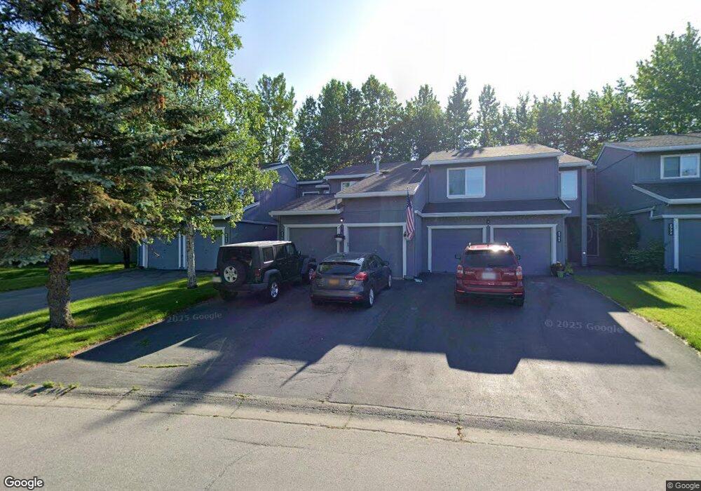
1761 Eastridge Dr Anchorage, AK 99501
Airport Heights NeighborhoodEstimated Value: $182,000 - $375,424
3
Beds
3
Baths
1,608
Sq Ft
$193/Sq Ft
Est. Value
About This Home
This home is located at 1761 Eastridge Dr, Anchorage, AK 99501 and is currently estimated at $310,141, approximately $192 per square foot. 1761 Eastridge Dr is a home located in Anchorage Municipality with nearby schools including Airport Heights Elementary School, Wendler Middle School, and Bettye Davis East Anchorage High School.
Ownership History
Date
Name
Owned For
Owner Type
Purchase Details
Closed on
Aug 7, 2001
Sold by
Jones Stanley H
Bought by
Piccioni Allen A and Piccioni Su Cott
Current Estimated Value
Home Financials for this Owner
Home Financials are based on the most recent Mortgage that was taken out on this home.
Original Mortgage
$108,000
Interest Rate
7.1%
Create a Home Valuation Report for This Property
The Home Valuation Report is an in-depth analysis detailing your home's value as well as a comparison with similar homes in the area
Home Values in the Area
Average Home Value in this Area
Purchase History
| Date | Buyer | Sale Price | Title Company |
|---|---|---|---|
| Piccioni Allen A | -- | -- | |
| Piccioni Allen A | -- | -- |
Source: Public Records
Mortgage History
| Date | Status | Borrower | Loan Amount |
|---|---|---|---|
| Closed | Piccioni Allen A | $108,000 |
Source: Public Records
Tax History Compared to Growth
Tax History
| Year | Tax Paid | Tax Assessment Tax Assessment Total Assessment is a certain percentage of the fair market value that is determined by local assessors to be the total taxable value of land and additions on the property. | Land | Improvement |
|---|---|---|---|---|
| 2025 | $1,635 | $339,900 | $81,600 | $258,300 |
| 2024 | $1,635 | $326,300 | $81,600 | $244,700 |
| 2023 | $5,196 | $305,100 | $81,600 | $223,500 |
| 2022 | $1,485 | $288,200 | $81,600 | $206,600 |
| 2021 | $4,772 | $264,800 | $81,600 | $183,200 |
| 2020 | $1,192 | $271,300 | $81,600 | $189,700 |
| 2019 | $1,130 | $269,100 | $81,600 | $187,500 |
| 2018 | $703 | $241,100 | $60,900 | $180,200 |
| 2017 | $1,118 | $241,400 | $60,900 | $180,500 |
| 2016 | $3,254 | $234,800 | $58,800 | $176,000 |
| 2015 | $3,254 | $242,600 | $58,800 | $183,800 |
| 2014 | $3,254 | $231,800 | $58,800 | $173,000 |
Source: Public Records
Map
Nearby Homes
- 2215 Sunburst Cir
- 1661 Eastridge Dr Unit 101
- 1635 Sitka St Unit 14-302
- 1611 Eastridge Dr Unit 201
- 1803 Parkside Dr
- 2066 Cliffside Dr Unit 10-B2
- 1701 Aleutian St
- 1729 Sunrise Dr
- 2620 Sorbus Cir
- 2680 Lovejoy Dr
- 000 Tr A Thurston
- 1403 Nelchina St
- 2456 Cottonwood St
- 1251 Elegante Ln
- 1504 Medfra St
- 1210 E 16th Ave Unit 4
- 1430 Columbine St
- 3433 E 18th Ave
- 3401 E 15th Ave
- 1101 E 16th Ave
- 1765 Eastridge Dr
- 1755 Eastridge Dr
- 1771 Eastridge Dr
- 1775 Eastridge Dr
- 2201 Sunburst Cir
- 2205 Sunburst Cir
- 1760 Eastridge Dr
- 7660 Eastridge Dr Unit 4-202
- 2211 Sunburst Cir
- 2245 Radiant Cir
- 1774 Eastridge Dr
- 1774 Eastridge Dr Unit 2
- 1754 Eastridge Dr
- 1780 Eastridge Dr
- 2241 Radiant Cir
- 1784 Eastridge Dr
- 2235 Radiant Cir
- 1790 Eastridge Dr
- 1750 Eastridge Dr
- 2115 Dawnlight Ct