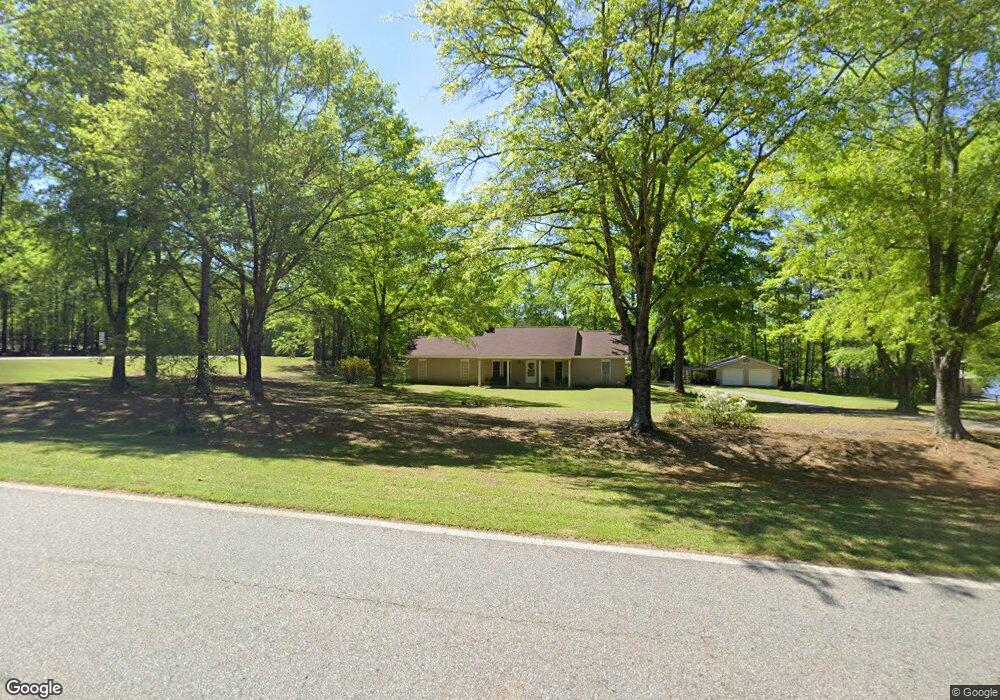
1761 Malcom Bridge Rd Bogart, GA 30622
Estimated Value: $335,464 - $537,000
--
Bed
--
Bath
1,186
Sq Ft
$334/Sq Ft
Est. Value
About This Home
This home is located at 1761 Malcom Bridge Rd, Bogart, GA 30622 and is currently estimated at $396,616, approximately $334 per square foot. 1761 Malcom Bridge Rd is a home located in Oconee County with nearby schools including Rocky Branch Elementary School, Malcom Bridge Middle School, and North Oconee High School.
Ownership History
Date
Name
Owned For
Owner Type
Purchase Details
Closed on
Aug 23, 2019
Sold by
Pruett Fletcher Shirley
Bought by
Cheatham Shirley Pruett
Current Estimated Value
Home Financials for this Owner
Home Financials are based on the most recent Mortgage that was taken out on this home.
Original Mortgage
$120,000
Outstanding Balance
$105,098
Interest Rate
3.7%
Mortgage Type
New Conventional
Estimated Equity
$291,518
Create a Home Valuation Report for This Property
The Home Valuation Report is an in-depth analysis detailing your home's value as well as a comparison with similar homes in the area
Home Values in the Area
Average Home Value in this Area
Purchase History
| Date | Buyer | Sale Price | Title Company |
|---|---|---|---|
| Cheatham Shirley Pruett | -- | -- |
Source: Public Records
Mortgage History
| Date | Status | Borrower | Loan Amount |
|---|---|---|---|
| Open | Cheatham Shirley Pruett | $120,000 |
Source: Public Records
Tax History Compared to Growth
Tax History
| Year | Tax Paid | Tax Assessment Tax Assessment Total Assessment is a certain percentage of the fair market value that is determined by local assessors to be the total taxable value of land and additions on the property. | Land | Improvement |
|---|---|---|---|---|
| 2024 | $115 | $105,507 | $38,344 | $67,163 |
| 2023 | $108 | $97,809 | $35,504 | $62,305 |
| 2022 | $108 | $81,920 | $28,404 | $53,516 |
| 2021 | $1,351 | $73,344 | $25,822 | $47,522 |
| 2020 | $1,255 | $69,116 | $23,474 | $45,642 |
| 2019 | $1,457 | $64,838 | $20,412 | $44,426 |
| 2018 | $1,321 | $57,772 | $18,556 | $39,216 |
| 2017 | $1,173 | $51,527 | $15,464 | $36,063 |
| 2016 | $1,134 | $49,859 | $14,058 | $35,801 |
| 2015 | $1,138 | $49,934 | $14,058 | $35,876 |
| 2014 | $1,099 | $47,239 | $12,780 | $34,458 |
| 2013 | -- | $45,775 | $12,499 | $33,275 |
Source: Public Records
Map
Nearby Homes
- 1496 Malcom Estates Dr
- 1224 Malcom Estates Point Unit Lot 67
- 2165 Harperfield Dr
- 1491 Virgil Langford Rd
- 1895 Vintage Place
- 1105 Harperfield Dr
- 1381 Mayfair Way
- 1010 Long Creek Dr
- 3065 Brookhaven Dr
- 1479 Mcfall Ct
- 1190 Wareview Ct
- 1071 Oaklake Cir
- 1021 Bedford Trail
- 0 Clotfelter Rd Unit 1025303
- 1336 Prince Place
- 2082 Wade Dr
- 1781 Malcom Bridge Rd
- 0 Rocky Branch Rd Unit 8235502
- 1961 Rocky Branch Rd
- 1121 Creek Farm Run
- 1811 Malcom Bridge Rd
- 1101 Creek Farm Run
- 1131 Creek Farm Run
- 1081(35) Creek Farm Run
- 1081 Creek Farm Run
- 1831 Malcom Bridge Rd
- 1760 Rocky Branch Rd
- 1130 Creek Farm Run
- 1120 Creek Farm Run
- 0 Malcom Bridge Rd Unit CM940815
- 00 5 Ac On Malcom Bridge Rd
- 00 5 Acres On Malcom Bridge Rd
- 0 Malcom Bridge Rd Unit CM932403
- 0 Malcom Bridge Rd Unit CM929468
- 0 Malcom Bridge Rd Unit 947672
- 0 Malcom Bridge Rd Unit 984959