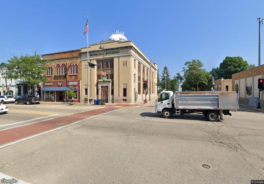
1761 State Road 78 Mount Horeb, WI 53572
Estimated Value: $406,000 - $524,000
4
Beds
3
Baths
1,744
Sq Ft
$279/Sq Ft
Est. Value
About This Home
This home is located at 1761 State Road 78, Mount Horeb, WI 53572 and is currently estimated at $486,377, approximately $278 per square foot. 1761 State Road 78 is a home located in Dane County with nearby schools including Mount Horeb Primary Center, Mount Horeb Intermediate School, and Mount Horeb Middle School.
Ownership History
Date
Name
Owned For
Owner Type
Purchase Details
Closed on
Jun 6, 2024
Sold by
Rosol Sharon M
Bought by
Jones Family Dairy Llc
Current Estimated Value
Home Financials for this Owner
Home Financials are based on the most recent Mortgage that was taken out on this home.
Original Mortgage
$579,730
Outstanding Balance
$569,793
Interest Rate
7.17%
Mortgage Type
New Conventional
Estimated Equity
-$83,416
Create a Home Valuation Report for This Property
The Home Valuation Report is an in-depth analysis detailing your home's value as well as a comparison with similar homes in the area
Home Values in the Area
Average Home Value in this Area
Purchase History
| Date | Buyer | Sale Price | Title Company |
|---|---|---|---|
| Jones Family Dairy Llc | $420,000 | None Listed On Document |
Source: Public Records
Mortgage History
| Date | Status | Borrower | Loan Amount |
|---|---|---|---|
| Open | Jones Family Dairy Llc | $579,730 |
Source: Public Records
Tax History Compared to Growth
Tax History
| Year | Tax Paid | Tax Assessment Tax Assessment Total Assessment is a certain percentage of the fair market value that is determined by local assessors to be the total taxable value of land and additions on the property. | Land | Improvement |
|---|---|---|---|---|
| 2024 | $4,406 | $276,400 | $99,400 | $177,000 |
| 2023 | $4,478 | $276,400 | $99,400 | $177,000 |
| 2021 | $4,093 | $276,400 | $99,400 | $177,000 |
| 2020 | $3,866 | $276,400 | $99,400 | $177,000 |
| 2019 | $4,016 | $276,400 | $99,400 | $177,000 |
| 2018 | $4,157 | $276,400 | $99,400 | $177,000 |
| 2017 | $4,324 | $276,400 | $99,400 | $177,000 |
| 2016 | $4,134 | $276,400 | $99,400 | $177,000 |
| 2015 | $4,097 | $276,400 | $99,400 | $177,000 |
| 2014 | $4,227 | $276,400 | $99,400 | $177,000 |
| 2013 | $4,228 | $276,400 | $99,400 | $177,000 |
Source: Public Records
Map
Nearby Homes
- 5 Acres Blue Rock Rd
- Lot 4 County Hwy E
- 2235 County Road Jg
- 2195 County Road z
- Lot 3 Erbe Rd
- Lot 2 Erbe Rd
- Lot 4 Erbe Rd
- 10538 W Erbe Rd
- 121 Autumnwood Cir
- 808 Maple Dr
- 501 Glacier Trail
- 117 Lauryn Ct
- Vincent's Place Plan at Brookstone Hills
- Sherry's Manor Plan at Brookstone Hills
- Eric's Creek Plan at Brookstone Hills
- Michael's Ridge Plan at Brookstone Hills
- Jennifer's Knoll Plan at Brookstone Hills
- Nathan's Cove Plan at Brookstone Hills
- Faith's Hollow Plan at Brookstone Hills
- Allison's Grove Plan at Brookstone Hills
- 1761 Wisconsin 78
- 1805 State Road 78
- 1684 S Hwy 78
- 10316 Mayflower Rd
- 1664 State Road 78
- 10147 Thunder Rd
- 10318 Mayflower Rd
- 1639 State Hwy 78
- 10217 Blue Valley Rd
- 10118 Blue Valley Rd
- 10082 Blue Valley Rd
- 10329 Blue Rock Rd
- Lot 2 Syvrud Rd
- Lot 1 Syvrud Rd
- Lot 3 Syvrud Rd
- 1596 State Road 78
- 1594 State Road 78
- 1876 Syvrud Rd
- 1959 Jelle Rd
- 10280 Blue Rock Rd
