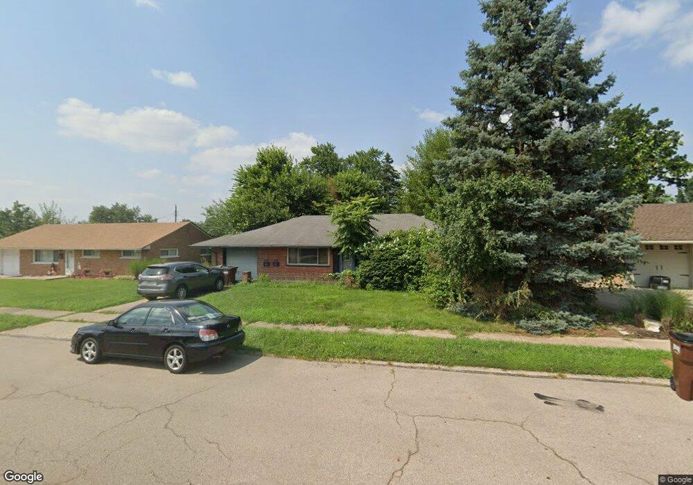
1761 W Stroop Rd Dayton, OH 45439
Estimated Value: $170,482 - $179,000
3
Beds
1
Bath
1,040
Sq Ft
$168/Sq Ft
Est. Value
About This Home
This home is located at 1761 W Stroop Rd, Dayton, OH 45439 and is currently estimated at $174,871, approximately $168 per square foot. 1761 W Stroop Rd is a home located in Montgomery County with nearby schools including Southdale Elementary School, Van Buren Middle School, and Kettering Fairmont High School.
Ownership History
Date
Name
Owned For
Owner Type
Purchase Details
Closed on
Feb 21, 2020
Sold by
Wu Chun Chang and Chang Alice
Bought by
Wang Wen Fen
Current Estimated Value
Purchase Details
Closed on
Nov 29, 2019
Sold by
Chang Alice
Bought by
Wu Chun Chang
Purchase Details
Closed on
Aug 16, 2012
Sold by
Fannie Mae
Bought by
Chang Alice
Purchase Details
Closed on
Jun 1, 2012
Sold by
Parsons Greg A
Bought by
Fannie Mae and Federal National Mortgage Association
Purchase Details
Closed on
Jun 20, 2003
Sold by
Haas Joan J
Bought by
Parsons Greg A
Home Financials for this Owner
Home Financials are based on the most recent Mortgage that was taken out on this home.
Original Mortgage
$85,000
Interest Rate
5.51%
Mortgage Type
Purchase Money Mortgage
Create a Home Valuation Report for This Property
The Home Valuation Report is an in-depth analysis detailing your home's value as well as a comparison with similar homes in the area
Home Values in the Area
Average Home Value in this Area
Purchase History
| Date | Buyer | Sale Price | Title Company |
|---|---|---|---|
| Wang Wen Fen | -- | None Available | |
| Wu Chun Chang | -- | None Available | |
| Chang Alice | $42,000 | None Available | |
| Fannie Mae | $69,356 | None Available | |
| Parsons Greg A | $85,000 | Republic Title Agency Inc |
Source: Public Records
Mortgage History
| Date | Status | Borrower | Loan Amount |
|---|---|---|---|
| Previous Owner | Parsons Greg A | $85,000 |
Source: Public Records
Tax History Compared to Growth
Tax History
| Year | Tax Paid | Tax Assessment Tax Assessment Total Assessment is a certain percentage of the fair market value that is determined by local assessors to be the total taxable value of land and additions on the property. | Land | Improvement |
|---|---|---|---|---|
| 2024 | $2,479 | $39,650 | $10,850 | $28,800 |
| 2023 | $2,479 | $39,650 | $10,850 | $28,800 |
| 2022 | $2,032 | $25,620 | $7,000 | $18,620 |
| 2021 | $1,881 | $25,620 | $7,000 | $18,620 |
| 2020 | $1,928 | $25,620 | $7,000 | $18,620 |
| 2019 | $1,834 | $22,020 | $7,000 | $15,020 |
| 2018 | $1,844 | $22,020 | $7,000 | $15,020 |
| 2017 | $1,700 | $22,020 | $7,000 | $15,020 |
| 2016 | $1,860 | $22,020 | $7,000 | $15,020 |
| 2015 | $1,727 | $22,020 | $7,000 | $15,020 |
| 2014 | $1,727 | $26,100 | $7,000 | $19,100 |
| 2012 | -- | $27,060 | $8,400 | $18,660 |
Source: Public Records
Map
Nearby Homes
- 1673 W Stroop Rd
- 2090 Mattis Dr
- 4301 Tait Rd
- 4207 S Dixie Dr
- 3519 Waterbury Dr
- 1905 Tait Circle Rd
- 1952 Tait Circle Rd
- 3720 Ridgeleigh Rd Unit D
- 4519 Harbison St
- 4629 Richwood Dr
- 4661 Richwood Dr
- 1349 Tamerlane Rd
- 2639 Blanchard Ave
- 2050 William Ln
- 4792 Loxley Dr
- 2571 Cluster Ave
- 3225 Southdale Dr Unit 1
- 1314 Ridgeview Ave
- 1301 Ridgeview Ave
- 1955 Kresswood Cir
- 1773 W Stroop Rd
- 1740 Hillwood Dr
- 1748 Hillwood Dr
- 1732 Hillwood Dr
- 1737 W Stroop Rd
- 1785 W Stroop Rd
- 1724 Hillwood Dr
- 1756 Hillwood Dr
- 1725 W Stroop Rd
- 1799 W Stroop Rd
- 2106 W Stroop Rd
- 2090 W Stroop Rd
- 1716 Hillwood Dr
- 1764 Hillwood Dr
- 2118 W Stroop Rd
- 2074 W Stroop Rd
- 1741 Hillwood Dr
- 2132 W Stroop Rd
- 1713 W Stroop Rd
- 1801 W Stroop Rd