1761 Weatherstone Dr Unit 191 Ann Arbor, MI 48108
Estimated Value: $284,000 - $301,000
2
Beds
2
Baths
1,266
Sq Ft
$229/Sq Ft
Est. Value
About This Home
This home is located at 1761 Weatherstone Dr Unit 191, Ann Arbor, MI 48108 and is currently estimated at $289,787, approximately $228 per square foot. 1761 Weatherstone Dr Unit 191 is a home located in Washtenaw County with nearby schools including Bryant Elementary School, Pattengill Elementary School, and Tappan Middle School.
Ownership History
Date
Name
Owned For
Owner Type
Purchase Details
Closed on
Jul 30, 2003
Sold by
Valenta George J
Bought by
Valley Leslie J
Current Estimated Value
Home Financials for this Owner
Home Financials are based on the most recent Mortgage that was taken out on this home.
Original Mortgage
$129,600
Interest Rate
5.47%
Mortgage Type
Unknown
Purchase Details
Closed on
Nov 2, 1999
Sold by
Ward William E
Bought by
Lyon Craig
Purchase Details
Closed on
Sep 14, 1999
Sold by
Pfeiffer Janis M
Bought by
Seibert Deanne
Create a Home Valuation Report for This Property
The Home Valuation Report is an in-depth analysis detailing your home's value as well as a comparison with similar homes in the area
Home Values in the Area
Average Home Value in this Area
Purchase History
| Date | Buyer | Sale Price | Title Company |
|---|---|---|---|
| Valley Leslie J | $162,000 | American Title Co Washtenaw | |
| Lyon Craig | $135,000 | -- | |
| Seibert Deanne | -- | -- |
Source: Public Records
Mortgage History
| Date | Status | Borrower | Loan Amount |
|---|---|---|---|
| Closed | Valley Leslie J | $129,600 | |
| Closed | Seibert Deanne | -- |
Source: Public Records
Tax History Compared to Growth
Tax History
| Year | Tax Paid | Tax Assessment Tax Assessment Total Assessment is a certain percentage of the fair market value that is determined by local assessors to be the total taxable value of land and additions on the property. | Land | Improvement |
|---|---|---|---|---|
| 2025 | $2,594 | $132,390 | $0 | $0 |
| 2024 | $1,735 | $127,306 | $0 | $0 |
| 2023 | $1,667 | $118,600 | $0 | $0 |
| 2022 | $2,512 | $108,700 | $0 | $0 |
| 2021 | $2,451 | $102,400 | $0 | $0 |
| 2020 | $2,405 | $100,400 | $0 | $0 |
| 2019 | $2,266 | $96,400 | $96,400 | $0 |
| 2018 | $2,230 | $88,800 | $0 | $0 |
| 2017 | $2,161 | $87,100 | $0 | $0 |
| 2016 | $1,386 | $54,492 | $0 | $0 |
| 2015 | -- | $54,330 | $0 | $0 |
| 2014 | -- | $52,633 | $0 | $0 |
| 2013 | -- | $52,633 | $0 | $0 |
Source: Public Records
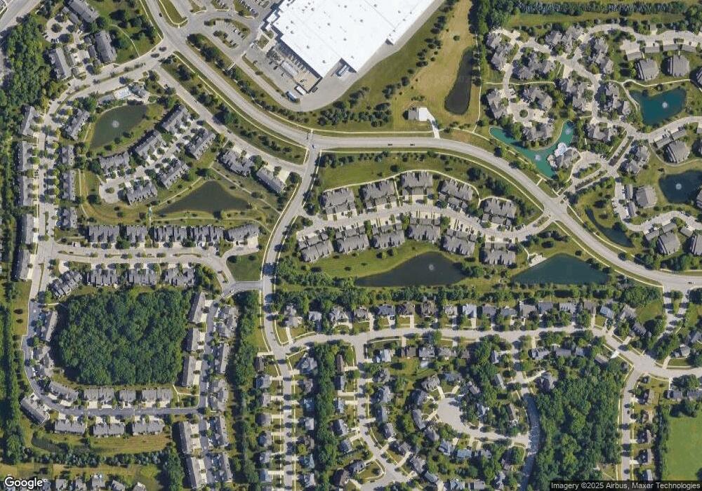
Map
Nearby Homes
- 1631 Weatherstone Dr
- 1998 Bancroft Dr
- 3426 Breckland Ct Unit 59
- 1623 Long Meadow Trail Unit 59
- 1579 Oakfield Dr Unit 123
- 1583 Long Meadow Trail Unit 285
- 1573 Oakfield Dr Unit 120
- 1533 Weatherstone Dr
- 1468 Fox Pointe Cir
- 1452 Millbrook Trail Unit 178
- 1429 Millbrook Trail Unit 172
- 5431 Poppydrew Ln Unit 58
- 1354 Fox Pointe Cir
- 2130 Park Dr Unit 1
- 2134 Park Dr Unit 2
- 1307 Millbrook Trail
- Lincoln Plan at Townes on the Green
- Willow Plan at Townes on the Green
- 1670 W Ellsworth Rd
- 3956 Bridle Pass Unit 28
- 1757 Weatherstone Dr
- 1751 Weatherstone Dr Unit 186
- 1755 Weatherstone Dr Unit 190
- 1759 Weatherstone Dr Unit 188
- 1763 Weatherstone Dr Unit 192
- 1753 Weatherstone Dr
- 1781 Weatherstone Dr Unit 197
- 1777 Weatherstone Dr Unit 193
- 1783 Weatherstone Dr
- 1733 Weatherstone Dr
- 1729 Weatherstone Dr
- 1731 Weatherstone Dr Unit 167
- 1727 Weatherstone Dr Unit 163
- 1789 Weatherstone Dr Unit 199
- 1785 Weatherstone Dr
- 1725 Weatherstone Dr Unit 166
- 1721 Weatherstone Dr Unit 162
- 1787 Weatherstone Dr
- 1791 Weatherstone Dr
- 1766 Weatherstone Dr Unit 182