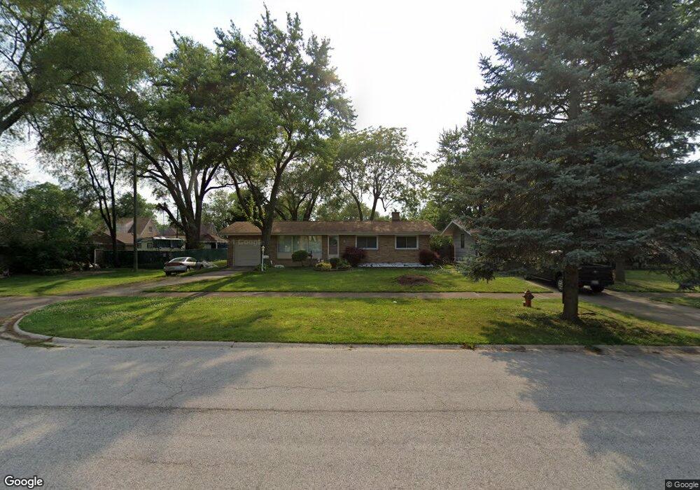
17610 State Line Ave Lansing, IL 60438
Estimated Value: $188,694 - $233,000
3
Beds
2
Baths
1,144
Sq Ft
$187/Sq Ft
Est. Value
About This Home
This home is located at 17610 State Line Ave, Lansing, IL 60438 and is currently estimated at $214,424, approximately $187 per square foot. 17610 State Line Ave is a home located in Cook County with nearby schools including Coolidge Elementary School, Memorial Jr High School, and Thornton Fractnl So High School.
Ownership History
Date
Name
Owned For
Owner Type
Purchase Details
Closed on
Apr 25, 1994
Sold by
Sohl Raymond C and Sohl Flora Mae
Bought by
Boomsma John A and Boomsma Nancy M
Current Estimated Value
Home Financials for this Owner
Home Financials are based on the most recent Mortgage that was taken out on this home.
Original Mortgage
$76,800
Interest Rate
7.84%
Create a Home Valuation Report for This Property
The Home Valuation Report is an in-depth analysis detailing your home's value as well as a comparison with similar homes in the area
Home Values in the Area
Average Home Value in this Area
Purchase History
| Date | Buyer | Sale Price | Title Company |
|---|---|---|---|
| Boomsma John A | $96,000 | -- |
Source: Public Records
Mortgage History
| Date | Status | Borrower | Loan Amount |
|---|---|---|---|
| Closed | Boomsma John A | $76,800 |
Source: Public Records
Tax History
| Year | Tax Paid | Tax Assessment Tax Assessment Total Assessment is a certain percentage of the fair market value that is determined by local assessors to be the total taxable value of land and additions on the property. | Land | Improvement |
|---|---|---|---|---|
| 2025 | $1,930 | $9,957 | $3,226 | $6,731 |
| 2024 | $1,930 | $9,957 | $3,226 | $6,731 |
| 2023 | $1,530 | $9,957 | $3,226 | $6,731 |
| 2022 | $1,530 | $9,196 | $2,846 | $6,350 |
| 2021 | $3,707 | $9,195 | $2,846 | $6,349 |
| 2020 | $3,938 | $9,814 | $2,846 | $6,968 |
| 2019 | $2,471 | $7,770 | $2,656 | $5,114 |
| 2018 | $2,422 | $7,770 | $2,656 | $5,114 |
| 2017 | $2,887 | $8,493 | $2,656 | $5,837 |
| 2016 | $2,973 | $7,934 | $2,466 | $5,468 |
| 2015 | $2,698 | $7,934 | $2,466 | $5,468 |
| 2014 | $3,422 | $9,398 | $2,466 | $6,932 |
| 2013 | $3,852 | $11,184 | $2,466 | $8,718 |
Source: Public Records
Map
Nearby Homes
- 17526 Shirley Dr
- 3634 178th St
- 17702 Bernadine St
- 108 Beverly Place
- 17945 Maple St
- 7937 Forest Ave
- 17244 Wentworth Ave
- 17519 Community St
- 3659 Madison St
- 3409 173rd Place
- 301 Belden Place
- 3636 172nd St
- 7341 Harrison Ave
- 1678 State Line Rd
- 17335 Community St
- 17552 Roy St
- 17204 Bernadine St
- 17518 Roy St
- 7428 Jackson Ave
- 3522 Washington St
- 17600 State Line Ave
- 3718 176th Place
- 3714 176th Place
- 17607 Maple St
- 17601 Maple St
- 17611 Maple St
- 17545 Maple Ave
- 17615 Maple St
- 17548 State Line Ave
- 7603 State Line Ave
- 7551 State Line Ave
- 17621 Maple St
- 7611 State Line Ave
- 7545 State Line Ave
- 17542 State Line Ave
- 7617 State Line Ave
- 7539 State Line Ave
- 17536 State Line Ave
- 17535 Maple Dr
Your Personal Tour Guide
Ask me questions while you tour the home.